British Columbia
Looking for the best photography in British Columbia? We've got you covered with the top trails, trips, hiking, backpacking, camping and more around British Columbia. The detailed guides, photos, and reviews are all submitted by the Outbound community.
Top Photography Spots in and near British Columbia
-
Comox-Strathcona C, British Columbia
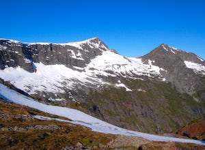
Hike Mount Albert Edward
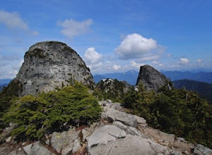
5.019.9 mi / 3280.8 ft gainMount Albert Edward is hard to miss. If you have ever driven up to Mount Washington you will remember the unique profile of this mountain to the west of Raven Lodge. Its long, drawn out scree ridge ends dramatically in a ski jump style peak before falling off into the abyss below. The Grinch hims...Read more -
Errington, British Columbia
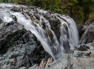
Hike through Englishman River Falls Provincial Park
4.31.9 miThis is an easy 3 km or so hike that you can meander along and enjoy the lush greenery and the two waterfalls. The lower waterfalls is best viewed in the spring or winter. When summer comes the river gets lower and in turn that waterfall gets hard to see. Although, when the water levels are low y...Read more -
Sooke, British Columbia
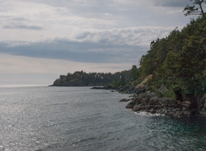
Hike East Sooke Park
Sitting very close to the southernmost point of Vancouver Island, facing west towards the mouth of the Strait of Juan de Fuca and the open Pacific Ocean, East Sooke Park is a unique and magical place for a hike or trail run. Your first visit will spark the desire to keep returning, to keep explor...Read more -
Whistler, British Columbia
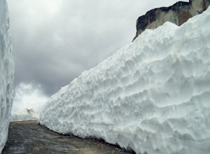
Explore Whistler Mtn in the Off-Season
Whistler Mountain is a world class ski destination in winter and a biking paradise in summer, but if you happen to be here in spring or fall, there's a whole other world of magic to enjoy. The access road is cut with machinery in early spring once the mountain has closed for the ski season, and a...Read more -
Fraser-Fort George C, British Columbia
Fort George Canyon Trail
4.06.25 mi / 1050 ft gainThe hike to Fort George Canyon is relatively flat for the first half of the hike and then gradually starts to descend into the canyon with the final stretch a switchback trek right to the water. It starts out walking through a cut block for around 2km and then you head into a lush green forest f...Read more -
Osoyoos, British Columbia
Spotted Lake Viewpoint
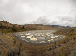
5.00.32 mi / 36 ft gainThe Okanagan Highlands is home to a myriad of unique natural phenomena but nothing quite as otherworldly as Spotted Lake.Known to the Syilx People as Khiluk, or the "grandfather of lakes", it is a sacred place for healing and is said to contain 365 coloured spots, one for each day of the year. S...Read more -
Comox-Strathcona C, British Columbia
Hike Mount Becher
Trail access begins at the end of Forbidden Plateau Road, at the site of the old abandoned ski lodge. It is an ugly place to begin a hike to such a beautiful summit, but do not let that deter you. Past the trash of forest parties, around the remnants of the old ski lodge and over the washed out r...Read more -
Port Renfrew, British Columbia
Hiking through the Avatar Grove
To get to the Avatar Grove, drive to Port Renfrew along West Coast highway 14. Turn right onto Deering Rd and cross the long bridge over the San Juan River. Stay right at the next Y intersection, and then left at the T intersection. At the next Y keep left and cross a tall bridge over the crys...Read more -
Lions Bay, British Columbia
Scramble to the Summit of the West Lion via the Binkert Trail
5.010 mi / 5400 ft gainFind parking in a small gravel lot and be careful to park to the left of the sign, as cars do get towed in this area. Cross through the yellow road gate and begin by ascending the gravel road that provides moderate switchbacks before reaching a junction with the Mount Harvey trail, and keep right...Read more -
Fraser-Fort George F, British Columbia
Photograph Kittil Falls
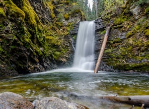
5.0Kittil Falls is nestled near the edge of the Canadian Rockies. It is a peaceful site with only the sound of the waterfall to break the silence of the remote wilderness. The recreation site has about 2 campsites, one down stream of the waterfall and one right beside it. To get to the falls once at...Read more -
Victoria, British Columbia
Hike around Thetis Lake
4.51.9 mi / 196.9 ft gainTake Highway 1 west from Victoria. Turn onto Exit 10 (View Royal/Colwood) and continue on the Island Highway. Turn right at Six Mile Road, which leads straight to Thetis Lake Regional Park.Note that this park is also accessible by bike via the Galloping Goose Trail.With minimal elevation (~60m) a...Read more -
Squamish-Lillooet C, British Columbia
Backpack to Semaphore Lakes
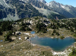
3.1 mi / 1000 ft gainHow does a series of sparkling blue alpine lakes, beautiful mountains, a huge waterfall, glacier and uncrowded camping sound to you? For me, the area around Semaphore Lakes has been one of my favorite destinations for quite a while. It has some of the best camping you could hope for, and two incr...Read more -
Delta, British Columbia
Take a Sunset Ride on the Tsawwassen-Swartz Bay Ferry
4.0You can walk on or take your car on the ferry. Either way gets you to the same views. Make sure you sit on the right side of the boat (and it sometimes turns around once leaving the dock). Set up on the upper deck, and prepare yourself for an unbelievable show. Make sure you check out the onboard...Read more -
Maple Ridge, British Columbia
Stroll along the Spirea Nature Trail
3.01.5 mi / 0 ft gainAn hour outside of downtown Vancouver lies the beautiful 150,000 acre Provincial Park of Golden Ears. The park has a myriad of hikes and adventures all with varying degrees of difficulty. The Spirea Nature Trail likely clocks in as one easiest amongst the dozens within the park. However, don’t le...Read more -
Fraser-Fort George F, British Columbia
Hike to Raven Lake
4.56.2 mi / 1476.4 ft gainTo reach the trailhead travel east from Prince George on Highway 16. At 88 km turn right onto Hungary Creek Service Road. Travel 13 km on the main road and turn right at the junction (keep your eye out for the sign). From here there its only 3 km to the parking lot.Right off the start the trail c...Read more -
Fraser Valley D, British Columbia
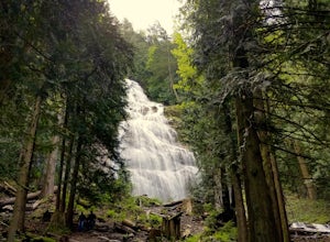
Explore Bridal Veil Falls in Chilliwack
4.00.5 mi / 164 ft gainLocated only a short distance from the Trans-Canada highway is the Bridal Veil Falls Provincial Park. The park is a great area for a picnic lunch, but the highlight of the park is the almost 200 ft. (60 meter) waterfall. The location of the park and the duration of the hike to the waterfall make ...Read more

