Squamish-Lillooet C, British Columbia
Top Spots in and near Squamish-Lillooet C
-
Whistler, British Columbia
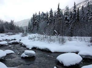
Snowshoeing is one of the best ways to experience true solitude in the beautiful snowy mountain landscape. The area surrounding the Cheakamus Crossing neighbourhood of Whistler has some of the very best low elevation snowshoeing in the valley.Riverside and Suspension Bridge Loop:A great 5km loop ...
Read more
-
Whistler, British Columbia
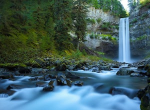
Brandywine Falls is a spectacular 70 metre waterfall. It is best seen from the viewpoint which also presents some marvelous views of Daisy Lake and the surrounding mountains. But you can also get to the bottom with a bit of scrambling down the side of the cliff.Brandywine Falls is located along t...
Read more
-
Whistler, British Columbia
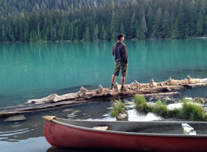
Cheakamus Lake is tucked in behind Whistler Mountain. If you've hike the Musical Bumps trail, or any of the paths off the peak of Whistler, chances are you saw a huge turquoise lake below you. This is Cheakamus Lake.From Whistler Village, drive south on HWY99 to the stop lights at Function Juncti...
Read more
-
Squamish-Lillooet C, British Columbia
4.6
5.67 mi
/ 1266 ft gain
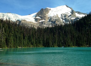
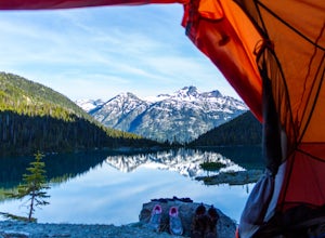
Joffre Lakes is a well loved destination, and for good reason: it is absolutely stunning. Not only is it located on one of the most scenic drives you could ever hope to find (Duffy Lake Road) , but it's possible to enjoy this area no matter how much time you have, or how much hiking you want to d...
Read more
-
Squamish-Lillooet C, British Columbia
3.0
3.1 mi
/ 2952.8 ft gain
Joffre Lakes Provincial Park is located roughly three hours from Vancouver north of Whistler and Pemberton on Highway 99 (Sea-to-Sky Highway). The drive itself up to the trailhead is very scenic and worth it in itself. Once you get to the parking lot, park your car anywhere in the lot and consi...
Read more
-
Squamish-Lillooet C, British Columbia
The Canadian west coast mountains around Whistler BC receive over thirty feet of snow each winter. This area is well known for epic skiing and snowboarding, and it's also a really fun place to go snowshoeing.
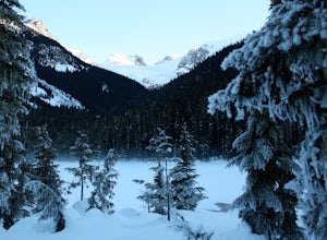
Here's a winter version of the incredible Joffre Lakes adventure (see my profile to read...
Read more
-
Lytton, British Columbia
1.0
9.9 mi
/ 1310 ft gain
The hike starts and finishes at the same location as the Joffre lake trail. You'll need to hike to the third lake where where you'll turn off in a SW direction through the valley just before reaching the helipad close to the campground
From there, there'll be a trail all the way to the ridge at t...
Read more
-
Whistler, British Columbia
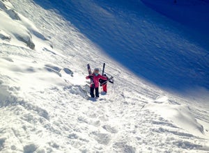
Take Blackcomb's Glacier Express and head skiers left, veer a quick right and then bootpack up a stretch of snow to the entrance of Spanky's Ladder. Be careful on the walk in - there's a large blowhole to your left and the path can be narrow.
The skiing off Spanky's is arguably unmatched, but th...
Read more
-
Lytton, British Columbia
Lillooet Lake sits at the bottom of the Duffey Lake Road, just past the village of Mt Currie. In 2010, Mt Meager experienced a landslide totalling 48 million cubic metres, the largest in modern Canadian history. Sitting directly upriver of Lillooet Lake, the Meager slide turned this beautiful tur...
Read more
-
Whistler, British Columbia
Whistler Mountain is a world class ski destination in winter and a biking paradise in summer, but if you happen to be here in spring or fall, there's a whole other world of magic to enjoy. The access road is cut with machinery in early spring once the mountain has closed for the ski season, and a...
Read more
-
Lytton, British Columbia
If you're coming from Vancouver give yourself about 3 -4 hours of daylight driving time. This place isn't the easiest to find in the dark. From Pemberton, stay on the highway - this drive is beautiful! Follow any directions you see that will take you to the Duffy Lake road. After you drive along ...
Read more
-
D'Arcy, British Columbia
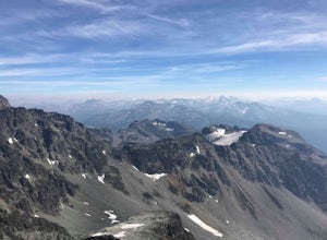
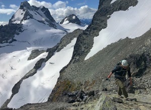
The Duffy Lake Road area is a scrambling paradise. If you love exploring the alpine off trail, this would be the place.Mt Rohr is a prominent peak, located just above Duffy Lake. One of the highlights of this trip is that you get to hike directly beside the incredible glaciers of Joffre Peak, as ...
Read more
-
Whistler, British Columbia
Start your drive by driving up the Cheakamus Lake forestry road to the parking lot (approximately 7km up the road). From the parking lot, start walking down the trail towards Cheakamus lake.
About 2km down the trail, you will see a sign post indicating that you can continue straight to Cheakamus...
Read more
-
Whistler, British Columbia
4.0
12.4 mi
/ 3000 ft gain
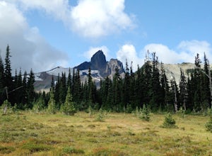
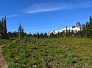
Helm Lake is a sparkly body of water tucked into one of the most scenic alpine meadows around. The lake sits on a lava field, just under the Black Tusk, with the unique volcanic remains of Cinder Cone and Helm Peak on the opposite side of the meadow.The big draw for this hike is that it's far les...
Read more
-
Whistler, British Columbia
Enter from the Cheakamus Lake side, which mean a steady climb up the Helm Creek Trail, but you won't battle the crowds coming up the Rubble Creek side. Plan for a full day in the mountains - it's ~25k total with quite a bit of climbing in the beginning. Bring lots of water, as it can get pretty h...
Read more
-
D'Arcy, British Columbia
From the trailhead on the Duffey Lake Road you follow the well-marked summer trail up the Cerise Creek. The trail heads south after the bridge and heads up onto the lower flanks of Joffre and onto a logging road. Eventually the road forks, and the main trail follows the right fork uphill. The log...
Read more

