Whistler, British Columbia
Looking for the best hiking in Whistler? We've got you covered with the top trails, trips, hiking, backpacking, camping and more around Whistler. The detailed guides, photos, and reviews are all submitted by the Outbound community.
Top Hiking Spots in and near Whistler
-
Whistler, British Columbia
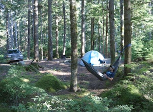
Camp at Cal-Cheak
4.7Where the beautiful Callaghan and Cheakamus Rivers converge, there is a great campsite aptly named after these two turquoise rivers. This is a quiet area, shaded by huge stands of West Coast forest, and easily accessible from HWY 99, about 20 minutes south of Whistler Village.Hiking and mountain ...Read more -
Whistler, British Columbia
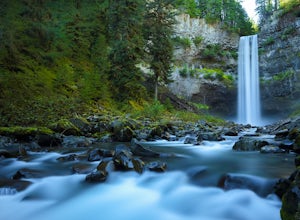
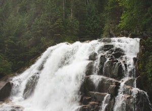
Explore Brandywine Falls
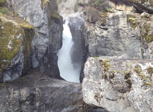
4.40.6 miBrandywine Falls is a spectacular 70 metre waterfall. It is best seen from the viewpoint which also presents some marvelous views of Daisy Lake and the surrounding mountains. But you can also get to the bottom with a bit of scrambling down the side of the cliff.Brandywine Falls is located along t...Read more -
Pemberton, British Columbia
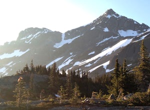
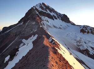
Mt. Currie Trail
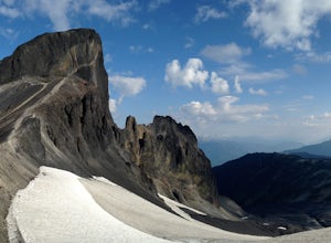
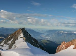
13 mi / 7867 ft gainMt Currie is the giant mountain that sits above the village of Pemberton BC. It soars 7800 vertical feet from the valley floor to the summit in sheer cliffs. (The mountain itself is 8517ft high.) Before 2014, the only way to reach the summit was to bushwack the entire 7800ft climb (we did this t...Read more -
Whistler, British Columbia
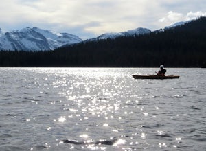
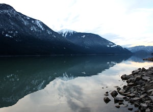
Paddle Callaghan Lake
5.0The South Coast Mountains are full of high elevation alpine lakes. There are a few of considerable size (Garibaldi Lake, Duffey Lake, Lake Lovely Water, etc) and Callaghan Lake is one of them. This huge silvery lake sits up in the beautiful Callaghan Valley, a destination for ski touring, snowsho...Read more -
Whistler, British Columbia
Hike Cirque Lake
4.05 mi / 984.3 ft gainCirque Lake can only be accessed by boating across Callaghan Lake. Start from the Callaghan parking/camping area and take your boat over to the lake. You must then paddle 2km all the way to the far end of Callaghan Lake. You will see a waterfall at the far end. The trailhead to Cirque Lake begins...Read more -
Whistler, British Columbia
Panorama Ridge
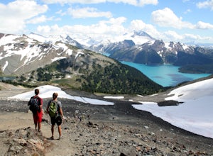
4.817.17 mi / 5289 ft gainTake the Sea to Sky Highway (HWY 99) north from Vancouver up towards Whistler. Turn off the highway about 30 minutes before Whistler Village onto Daisy Lake Road. There are signs along the highway indicating the Garibaldi Lake turn off. The trailhead is located at the end of Daisy Lake Road. Ther...Read more -
Whistler, British Columbia
Hike and Camp at Garibaldi Lake
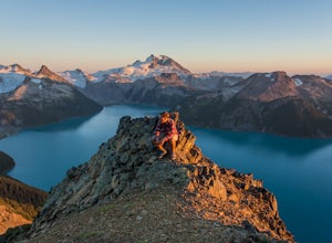
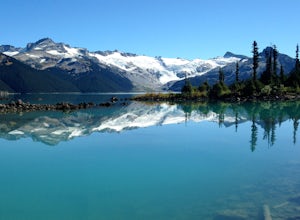
4.6Garibaldi Lake is a huge basin of beautiful turquoise water measuring almost 10 square kilometers (2460 acres), and located at nearly 5000ft above sea level. The lake is over 800 feet deep, filled with pristine glacial water. You’ll be surrounded by big snowy mountains, which remain bright white ...Read more -
Whistler, British Columbia
Summit Black Tusk in Garabaldi Provincial Park
5.019 mi / 5708.7 ft gainThis is a very challenging trail! If you are going to carry in a backpack for an overnight hike, you should have a good level of fitness. For a day hike, the trail is nearly 30km long, so still a good level of fitness is required. The trail isn’t technically challenging, but it is up in the alpin...Read more -
Whistler, British Columbia
Hike to the Black Tusk Lookout Point
5.018.6 mi / 5700 ft gainThe Black Tusk is a distinctive landmark just south of Whistler (the remnants of an old volcano). There is nothing else like it, and it is visible from all over the Sea to Sky area.Depending on your experience and fitness level, you can either: climb right to the top of the Tusk (expert hiking/sc...Read more -
Pemberton, British Columbia
Hike to Nairn Falls
4.3From the turnoff of Highway 99, there is a parking lot specifically for Nairn Falls Provincial Park. There are maps all over the place, and they will direct you to the trailhead for a short hike to the waterfall. There is a blockaded section at the waterfall for viewing due to the danger that the...Read more -
Whistler, British Columbia
Hike to High Falls Creek, BC
5.05.3 mi / 1719.2 ft gainThis is a great hike with varied terrain. From a flat meandering path to steep, scramble sections with chains and braided ropes. The must-see attraction on this trail is the thunder force of tumbling water heard throughout the day as you hike along a steep walled canyon.You have the option of par...Read more -
Squamish-Lillooet, British Columbia
Climb Mt. Garibaldi
12.5 mi / 4350 ft gainDuration: 2 DaysClosed Gate (described below): 49.831834, -123.088424Camp Ground: 49.855926, -123.016797 Driving north from Vancouver along the Sea to Sky Highway (HWY 99) pass through Squamish. Turn right on to Cat Lake Road (Cheekye FSR).49°48’52.6”N 123°07’25.5”W From here the route becomes ...Read more -
Squamish-Lillooet D, British Columbia
Hike to Crooked Falls
4.04 mi / 1400 ft gainThe trail to Crooked Falls starts at the Sigurd Creek Trail. The coordinates are: N49.910556, W-123.322817. It is a scenic dive just past the Squamish city center and the Squamish River. Once at the trail head you'll walk across a bridge over Sigurd Creek and follow the logging road for a couple...Read more -
Lytton, British Columbia
Explore Lillooet Lake
Lillooet Lake sits at the bottom of the Duffey Lake Road, just past the village of Mt Currie. In 2010, Mt Meager experienced a landslide totalling 48 million cubic metres, the largest in modern Canadian history. Sitting directly upriver of Lillooet Lake, the Meager slide turned this beautiful tur...Read more -
Whistler, British Columbia
Hike to Little Diamond Head
22 mi / 5900 ft gainGiven the total distance and cumulative elevation gain of this hike, I would suggest a good level of fitness to reach the summit. The trail does not have any technical challenges and the elevation gain is gradual. The final kick up to the summit involves some loose scree and minor exposure depend...Read more -
Whistler, British Columbia
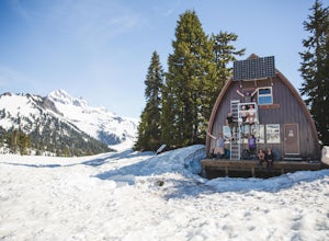
Camp Out at Elfin Lakes Hut
15 mi / 1900 ft gainThe cabin at Elfin Lakes is a beautiful well maintained shelter in the heart of the Garibaldi Provincial Park. It is nuzzled between two lakes (one for drinking water, and the other a swimming hole), and the Gargoyle Peaks. The cabin itself is fully stocked with 8 gas burners, tables, a fireplac...Read more

