White Rock, British Columbia
Looking for the best chillin in White Rock? We've got you covered with the top trails, trips, hiking, backpacking, camping and more around White Rock. The detailed guides, photos, and reviews are all submitted by the Outbound community.
Top Chillin Spots in and near White Rock
-
West Vancouver, British Columbia
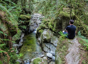
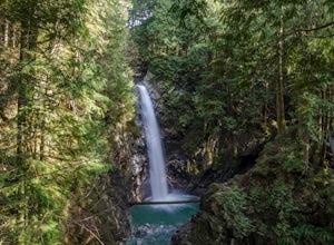
Hike to Cypress Falls in West Vancouver
4.03.1 mi / 400 ft gainDrive the the end of Woodgreen Pl in West Vancouver, and you will pass the tennis courts on your right. You will see a little dirt road that heads up into the woods on your left - drive up this road ~30 feet into the parking lot. From the Parking lot, hike up the trail beside cypress creek (this ...Read more -
West Vancouver, British Columbia
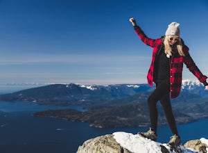
Snowshoe to St. Mark's Summit
1.08 mi / 1500 ft gainIf you are looking for the perfect snowshoe adventure you've found the right place. St. Marks is located on Cypress Mountain. It is more difficult than the nearby Hollyburn, and sometimes inaccessible due to heavy snow. For those two reasons makes it the most secluded hike just minutes from downt...Read more -
Bowen Island, British Columbia
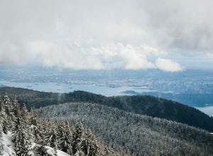
Snowshoe to Black Mountain and Eagle Bluffs
5.6 mi / 1312.3 ft gainEagle Bluffs is a perfect hike for anyone looking to get away but not too far from the city! Your trip will start by grabbing your (free) backcountry pass from the Black Mountain lodge in the lower parking lot at the top of cypress bowl road. This is not the main lodge (Cypress Creek Lodge), but ...Read more -
Fraser Valley F, British Columbia
Hike to Cascade Falls, British Columbia
4.80.5 mi / 131.2 ft gainWhen you get to the parking lot go past the access gate and follow the very well maintained trail. The hike to the viewing platform is all uphill, but short. After a couple minutes you will reach wooden stairs that take you to a viewing platform as well as to the suspension bridge where you can c...Read more -
Bow, Washington
North Butte via Chuckanut Trail
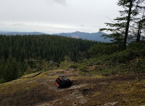
1.07.71 mi / 2047 ft gainThe HikeThe hike there isn't short, has several steep sections, and ends at the top of the mountain. There are cliff warnings at the top, so be careful as you explore the view! The steepest portions are at the beginning and right at the end. The trail is very well maintained (because it is so pop...Read more -
Bow, Washington
Samish Overlook
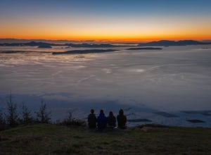
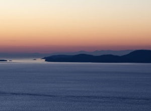
The sunset is amazing at Sammish Overlook. The view is the definition of panoramic and you almost have to strain your eyes because there is so much to look at. Plan to arrive before sunset if you want to capture some photos. This is a great "date spot" and you're likely to see couples up here pic...Read more -
West Vancouver, British Columbia
Explore WhyteCliff Park, West Vancouver
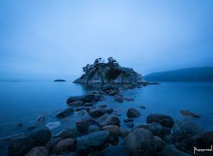
4.4Escape to the vanishing horizon of the Pacific Ocean, where time is measured by the rhythm of waves.Located near West Vancouver's Horseshoe Bay neighbourhood, Whytecliff Park is home to more than 200 marine animal species and is one of the first Marine Protected Areas in Canada. You're almost gua...Read more -
Lopez Island, Washington
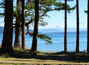
Hike to Spencer Spit
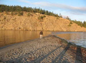
5.01.75 mi / 60 ft gainIt's just a short walk to the beach on this protruding point in Lopez Sound, and all downhill. Immediately upon leaving the trailhead, you come to a junction. Turn right and make a beeline straight for the picnic area at the base of the Spit.Time to explore the Spit. If the tide is high, stick to...Read more -
Friday Harbor, Washington
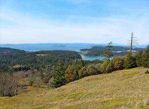
Hike to Young Hill
4.01.2 mi / 650 ft gainFrom the main parking lot at English camp, follow the wide path east and cross West Valley road to the trailhead of Young Hill. The trail switchbacks several times and leads you past the English Camp cemetery. Continue left on the main trail through the forest of Pacific Madrone trees until you r...Read more -
Bowen Island, British Columbia
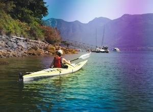
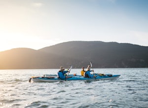
Paddle the Bowen Island Shoreline
Head out to Horseshoe Bay, and catch the ferry out to Bowen Island (Snug Cove). As you get off the ferry you will see a parking lot immediately to your left. If there is no parking there, there is some further up the road just before the local grocery store. Make your way back to the harbor, and ...Read more -
Bowen Island, British Columbia
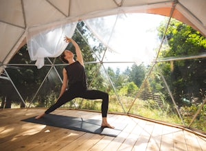
Relax at Nectar's Yoga Dome
5.0Head over to Bowen Island, via a ferry from the Horseshoe Bay Departure Terminal. A short drive up Miller Road will lead you to Nectar Yoga BnB. They offer two classes a day, one in the morning and one in the evening. The times vary, but are usually around 9:00 AM and 4:30 PM. They are for all sk...Read more -
Blakely Island, Washington
Hike and Camp at James Island
If you're looking for a weekend camping getaway to a small San Juan Island and you have a boat of substantial size or experience sea kayaking, this is the adventure for you!Launch your boat from Washington Park in Anacortes and cruise or sea kayak across Rosario Straight to James Island. There i...Read more -
Anacortes, Washington
Kayak Camp on Cypress Island
16 miWe set out from the town of Anacortes, WA from Seafarers Memorial Park with a group of 6 people. Two in single kayaks and four in two tandem kayaks. After setting out into the water, keep to the west of Guemes island and follow the shoreline for a shorter trip or follow the east side for a longer...Read more -
Friday Harbor, Washington
Hike through the American Camp
3 miFor what was once a highly contested and disputed piece of land in the Pacific Ocean, now lays home to one of the most peaceful, tranquil, and historic hikes in the island chain. Start the hike at the parking lot of the San Juan Island National Historic Site American Camp Visitor Center. Proceed ...Read more -
Deming, Washington
Hike the Horseshoe Bend Trail
4.06 mi / 210 ft gainLocated just outside the town of Glacier, WA and 40 minutes prior to Mount Baker Ski area, sits the Horseshoe Bend Trail. A simple and straightforward 6 mile out and back route. To get here, take Hwy 542 towards the direction of Mount Baker. About 4 miles after you pass through the town of Glacie...Read more -
Anacortes, Washington
Hike Sares Head
2.1 mi / 440 ft gainStarting at the parking area, there is a roughly 2 mile hike through the woods. Depending on which route you take, you will suddenly end up at one of many incredible view points looking West at the Olympic Mountains, open ocean, and the San Juan Islands. In some areas you will be about 150 feet a...Read more

