White Rock, British Columbia
Looking for the best hiking in White Rock? We've got you covered with the top trails, trips, hiking, backpacking, camping and more around White Rock. The detailed guides, photos, and reviews are all submitted by the Outbound community.
Top Hiking Spots in and near White Rock
-
West Vancouver, British Columbia
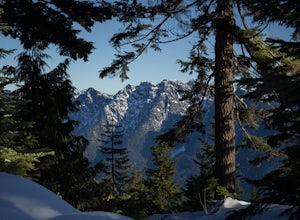
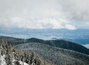
Snowshoe Hollyburn Mountain
5.06.5 mi / 450 ft gainPark in the Hollyburn cross country parking lot and start your hike up the under the powerlines. After about 15 mins the trail will flatten out and you will arrive at the warming hut. Take a left and follow the orange markers as it slowly weaves its way through a series of trees and valleys.Event...Read more -
West Vancouver, British Columbia
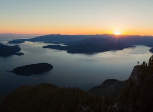
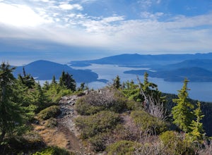
St Mark's Summit
4.46.45 mi / 1801 ft gainFrom the Cypress Mountain downhill parking lot, head north toward the nearby chairlift and look for the Howe Sound Crest Trail sign. The trail follows alongside the several ski runs until a sign that points to the right to the Howe Sound Crest Trail. Follow this trail uphill until it merges onto ...Read more -
West Vancouver, British Columbia
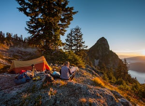
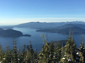
Hiking the Howe Sound Crest Trail
18 mi / 6000 ft gainDistance: 18 miles / 29 kms.Duration: 1 - 3 DaysElevation Gain: 6000 ft. / 1800 m.Magnesia Meadows: 49.483708, -123.190377The Howe Sound Crest Trail (HSCT) is one of the most epic hiking trips one can do in the Vancouver area. The trail is entirely located within the Cypress Mountain Provincial P...Read more -
West Vancouver, British Columbia
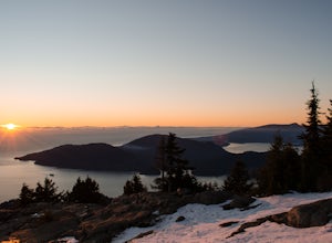
Snowshoe to St. Mark's Summit
1.08 mi / 1500 ft gainIf you are looking for the perfect snowshoe adventure you've found the right place. St. Marks is located on Cypress Mountain. It is more difficult than the nearby Hollyburn, and sometimes inaccessible due to heavy snow. For those two reasons makes it the most secluded hike just minutes from downt...Read more -
Bowen Island, British Columbia
Hike Eagle Bluffs
5.05 mi / 1148.3 ft gainStart at the Cypress Mountain ski area and walk towards the first chairlift. You will see a giant sign showing the ski trails and you go to the right of that. You will then see a post that lists which direction to go for each hike.To start this trail, walk towards the previously mentioned chair ...Read more -
Bowen Island, British Columbia
Hike to Mt. Strachan
4.03.7 mi / 1804.5 ft gainOn November 23, 1963, the world was faltered by the news of John F. Kennedy’s assassination (the previous day). Vancouver was dealing with it's own tragedy; a military plane crash in the North Shore Mountains. The hike to Mt. Strachan gives you the opportunity to visit the crash site.The Mount St...Read more -
West Vancouver, British Columbia
Bowen Lookout
4.02.48 mi / 443 ft gainThe trailhead is located just off the Cypress Mountain lodge. It winds past old growth forest, and the Yew Lake Meadows. After passing these features the trail turns into a series of switchbacks, gaining the elevation in the last 850m of trail. Before you know it you are rewarded with a beautif...Read more -
Bowen Island, British Columbia
Snowshoe to Black Mountain and Eagle Bluffs
5.6 mi / 1312.3 ft gainEagle Bluffs is a perfect hike for anyone looking to get away but not too far from the city! Your trip will start by grabbing your (free) backcountry pass from the Black Mountain lodge in the lower parking lot at the top of cypress bowl road. This is not the main lodge (Cypress Creek Lodge), but ...Read more -
Fraser Valley F, British Columbia
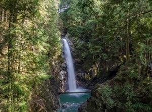
Hike to Cascade Falls, British Columbia
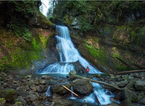
4.80.5 mi / 131.2 ft gainWhen you get to the parking lot go past the access gate and follow the very well maintained trail. The hike to the viewing platform is all uphill, but short. After a couple minutes you will reach wooden stairs that take you to a viewing platform as well as to the suspension bridge where you can c...Read more -
Deming, Washington
Hike to Racehorse Falls
3.7Racehorse Creek is broken up into four distinct waterfalls that drop a total of 140ft through a relatively shallow gorge. The first two waterfalls are punchbowl-type falls that have deep holes at their bases. Immediately below the second waterfall, the creek descends rapidly before it arrives at...Read more -
Bow, Washington
North Butte via Chuckanut Trail
1.07.71 mi / 2047 ft gainThe HikeThe hike there isn't short, has several steep sections, and ends at the top of the mountain. There are cliff warnings at the top, so be careful as you explore the view! The steepest portions are at the beginning and right at the end. The trail is very well maintained (because it is so pop...Read more -
Bow, Washington
Oyster Dome via Chuckanut Trail
4.36.57 mi / 1857 ft gainThe trail begins on the Pacific Northwest Trail, which ascends quickly up the side of Blanchard Mountain. The trail contains several switchbacks which wind through second-growth alder, Western red cedar, and Douglas fir forest. After about one mile there is an overlook with a bench that offers a...Read more -
West Vancouver, British Columbia
Explore WhyteCliff Park, West Vancouver
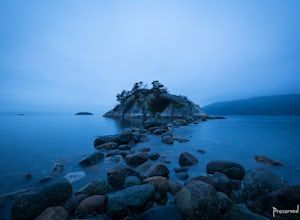
4.4Escape to the vanishing horizon of the Pacific Ocean, where time is measured by the rhythm of waves.Located near West Vancouver's Horseshoe Bay neighbourhood, Whytecliff Park is home to more than 200 marine animal species and is one of the first Marine Protected Areas in Canada. You're almost gua...Read more -
Lopez Island, Washington
Hike to Spencer Spit
5.01.75 mi / 60 ft gainIt's just a short walk to the beach on this protruding point in Lopez Sound, and all downhill. Immediately upon leaving the trailhead, you come to a junction. Turn right and make a beeline straight for the picnic area at the base of the Spit.Time to explore the Spit. If the tide is high, stick to...Read more -
Friday Harbor, Washington
Hike to Young Hill
4.01.2 mi / 650 ft gainFrom the main parking lot at English camp, follow the wide path east and cross West Valley road to the trailhead of Young Hill. The trail switchbacks several times and leads you past the English Camp cemetery. Continue left on the main trail through the forest of Pacific Madrone trees until you r...Read more -
Salt Spring Island, British Columbia
Hike Up Reginald Hill
1.2 mi / 771 ft gainFrom the Fulford ferry terminal, turn left onto Morningside Drive and follow the road to the end, where you’ll find a small area to park your car. From here, head up towards the subdivision and keep an eye out for the trail marker on your left, located 100m past the gate into Reginald Hills Estat...Read more

