Santa Cristina Valgardena, Italy
Looking for the best chillin in Santa Cristina Valgardena? We've got you covered with the top trails, trips, hiking, backpacking, camping and more around Santa Cristina Valgardena. The detailed guides, photos, and reviews are all submitted by the Outbound community.
Top Chillin Spots in and near Santa Cristina Valgardena
-
Braies, Italy
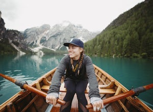
Hike and Canoe at Lago Di Braies
4.02.2 miStarting at the Hotel Lago Di Braies, you have the option to loop around the lake to hiker's left or right. To the left is the local dock, while to the right is a chapel and barn. Either way, you will end up where you started no longer than an hour and a half later. Once you are done with the loo...Read more -
Misurina, Italy
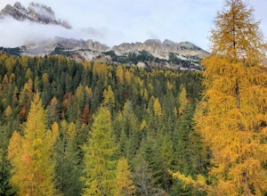
Photograph The Dolomites Near Misurina
The Dolomites in this area are absolutely stunning, and you can pair these massive mountains well in pictures with small towns like Auronzo, Reane, and Misurina. It may be a bit cold, but going in October or later will allow you to see the mountains with some snow sprinkled among the peaks. If y...Read more -
Misurina, Italy
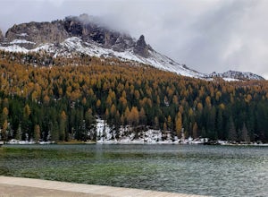
Photograph Lago di Misurina
This beautiful lake and small town are tucked away in the Dolomite Mountains. It is the largest lake in Cadore, and also was the last outdoor location ever used for an Olympic speed skating event. There is ample parking alongside the lake along with a dock where you can set up your tripod. On a c...Read more -
Auronzo di Cadore, Italy
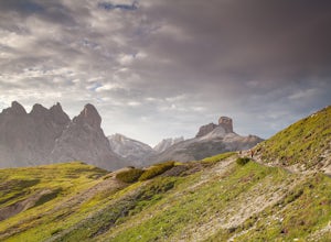
Tre Cime Di Lavaredo Loop
5.06.27 mi / 1352 ft gainThe famous Italy Dolomites are littered with numerous great hikes to showcase them, however, this trail is the cream of the crop. It will not disappoint. You have the option of hiking up to Rifugio Auronzo from Misurina, which is detailed out here. The other option that makes it easier if you're ...Read more -
Rabbi, Italy
Backpack to Sternai Lakes in Stelvio National Park
18.6 mi / 4265.1 ft gainWe start our excursion just below Saent waterfall at 1529 mt at around 11 am. The sky is dark and pushes us to move quickly not to get all the storm on our heads. The hut is still far and we move beside waterfalls and woods (trail 106). At around 2000 mt we cross the forest border and we find our...Read more -
Barcis, Italy
Hike to Sentiero del Dint
1.9 mi / 1722.4 ft gainThe colors of the water of this lake alone, from green to blue, a great reason to plan a trip to this magical place. But, you shouldn't miss out on the opportunity to follow the Dint Path, a trail through the woods near the Forra del Cellina Nature Reserve.The main path is easily accessible from ...Read more

