Arizona
Looking for the best hiking in Arizona? We've got you covered with the top trails, trips, hiking, backpacking, camping and more around Arizona. The detailed guides, photos, and reviews are all submitted by the Outbound community.
Top Hiking Spots in and near Arizona
-
Pine, Arizona
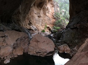
Hike the Pine Creek Loop in Tonto Natural Bridge SP
4.71.8 mi / 300 ft gainThere is a fee to enter this area. It was $7 when we went. There are 4 trails with many viewpoints from the parking lot, all of which are out and back. We followed the recommendation of the ranger working at the visitor's center and took the Gowan Trail down to the observation deck located in the...Read more -
Tucson, Arizona
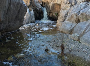
Romero Pools via Romero Canyon
4.85.52 mi / 1155 ft gainTo enter the Catalina State Park costs $7 per vehicle with up to four adults. You then drive to the trailhead parking lot. There will be a restroom and a very small shop there. From the trailhead, you almost immediately crosse Sutherland Wash, which flows seasonally. The first 1.1 miles is relati...Read more -
Phoenix, Arizona
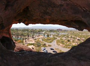
Hole in the Rock
3.60.27 mi / 200 ft gainPapago Park is located right next to the Phoenix Zoo. The park is known for its rock formations and short hiking / running trails. The main attraction, the Hole in the Rock, at the top of the short trail, is a great place to take pictures as it is one of the highest points in the area and it off...Read more -
Page, Arizona
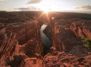
Explore the Horseshoe Bend Crack
5.01.9 miHorseshoe Bend is an iconic viewpoint, and a must-see for photographers. Check out Tiffany Nguyen's post, Hike to Horseshoe Bend, for more details on that part of the adventure. Because of its popularity and easy access, the Horseshoe Bend viewpoint is thoroughly photographed and can be very cro...Read more -
Grand Canyon Village, Arizona
Plateau Point via Bright Angel Trail
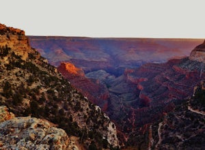
4.812.27 mi / 3000 ft gainStart off at Bright Angel Trailhead, then hike down into the Grand Canyon on one of the higher-quality trails. Hiking down to Plateau Point (furthest option) is well worth it. The hike down is a total of 6 miles, with a 3,000 foot drop in elevation. As you can imagine, this means the way back ou...Read more -
Sedona, Arizona
Fay Canyon Trail
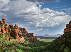
3.82.56 mi / 666 ft gainLocated on the outskirts of Sedona's main attractions, Fay Canyon is a hidden gem. The Fay Canyon Trail is an easy, scenic hike that takes you through this lesser-known Sedona canyon. You won't see majestic open views like those of Bell Rock, but you will find gorgeous views, without the crowds. ...Read more -
Temple Bar Marina, Arizona
Arizona Hot Springs
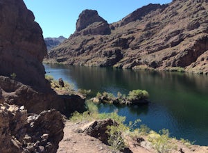
4.55.96 mi / 1125 ft gainParking for this hike is about 35 miles from the Las Vegas Strip. It should take less than an hour to get there from any of the hotels. There is easy, fee-free parking on the north side of Hwy 93. No permits are required, but a map is extremely helpful. Maps were available at a trail sign after y...Read more -
Flagstaff, Arizona
Explore Flagstaff's Lava River Cave
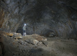
4.1If you’re looking for a truly unique hiking experience in Arizona, look no further than the Lava River Cave, 14 miles northwest of Flagstaff. The longest lava tube in Arizona, the cave was formed approximately 700,000 years ago after a volcanic eruption in Hart Prairie. As the lava from the erupt...Read more -
Gold Canyon, Arizona
Hieroglyphic Trail
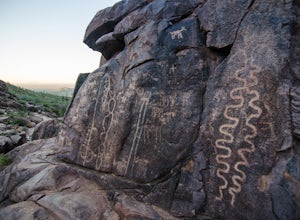
5.02.9 mi / 614 ft gainThis hike is a great beginner hike for those who want to experience the beauty of the Superstitions. I suggest going early in the morning because this trail gets very crowded later in the day (especially on weekends). To get to the trailhead from US60, turn north onto Kings Ranch Road where you ...Read more -
North Rim, Arizona
Ribbon Falls via North Kaibab Trailhead
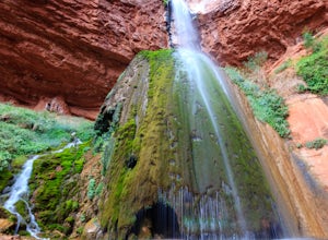
5.017.57 mi / 4521 ft gainAlthough this hike can feasibly done in a day, it is highly recommended that you spend more than one day in this area and visit the falls as a side trip on a larger trip. The closest campsites to Ribbon Falls are Cottonwood Campground and the Bright Angel Campground at Phantom Ranch. Ribbon Fal...Read more -
Supai, Arizona
Hidden Falls in the Havasupai Reservation
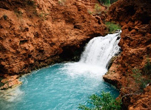
5.01.25 mi / 233 ft gainComing from the campground, you'll want to backtrack back towards Navajo and Fifty Foot falls, crossing the bridge that you came over coming into the campground. Continue on the trail until you see a picnic table with a small canopy with a big piece of tarp/burlap hanging from the front. Go past ...Read more -
Gold Canyon, Arizona
Wave Cave Trail
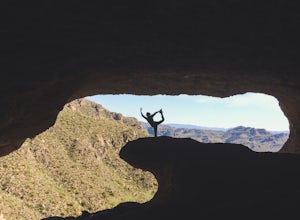
4.73 mi / 948 ft gainFrom the trail-head you will follow the old and wide dirt road for a while until you reach the wilderness fence line. It's easy to get lost. When you reach the fence there's an area to go through. It's difficult to see. Make sure you look closely. DO NOT follow the signs that say "trail". Once yo...Read more -
Oljato-Monument Valley, Arizona
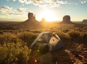
Camp at The View Campground in Monument Valley
4.43.2 mi / 0 ft gainOther than the spectacular landscape, the park really doesn't possess any of the attributes one would associate with the "wild west." Rather, an introduction to the Navajo culture is what awaits visitors. Located on the Navajo Reservation, a vast parcel of land spanning portions of Western New Me...Read more -
Phoenix, Arizona
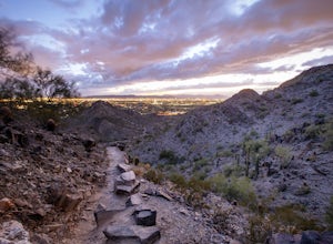
Quartz Ridge Trail
4.52.29 mi / 509 ft gainQuartz Ridge in the Phoenix Mountain Preserve (also known as Trail 8A) is a great escape getaway trail that can be done as a single track or combined with many intersecting trails. It is a very popular trail for hikers, trail runners, pet walkers, sky gawkers and more! The trailhead sits in a sm...Read more -
Flagstaff, Arizona
SP Crater
1.96 mi / 341 ft gainOff of the 89, just north of Flagstaff AZ, there is an unmarked dirt road just before a gas station. It leads out to privately owned land that's open to the public. Some friends and I went out there to get away from our day jobs. As we headed down the road, the land opened up in vast expanses of ...Read more -
Apache Junction, Arizona
Hike the Wind Cave Trail
4.32.9 mi / 790 ft gainThis is a great trail for a run or for stretching your legs exploring the caves in Usery Mountain Regional Park. Keep in mind that the trail leads you up to the cave and is the end point. To get better views of the area, you'll have to climb up past the caves, where the trail is not marked.Read more

