Arizona
Looking for the best hiking in Arizona? We've got you covered with the top trails, trips, hiking, backpacking, camping and more around Arizona. The detailed guides, photos, and reviews are all submitted by the Outbound community.
Top Hiking Spots in and near Arizona
-
Tucson, Arizona
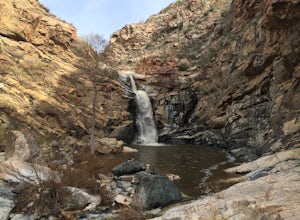
Tanque Verde Falls
4.21.93 mi / 430 ft gainThis hike starts at the Lower Tanque Verde Falls Trailhead, which is a well marked dirt lot on the left side of Reddington Road. A 4x4 would probably make the last half mile or so easier when the road turns to dirt but I made it to the trailhead in a Toyota Carolla without any trouble, so don't l...Read more -
Chinle, Arizona
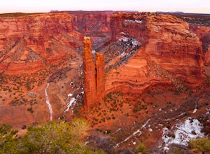
Camp at Canyon de Chelly
5.03 miCanyon de Chelly has been inhabited for over 6,000 years by both the Navajo peoples and the Anasazi peoples. The ruins through the walls of the canyon are from the Anasazi people date back to almost 7,000 years ago. Due to the significance and sacred nature of this area, hiking and backpacking wi...Read more -
Flagstaff, Arizona
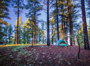
Camp at Pine Grove Campground
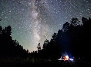
Pine Grove Campground in Flagstaff Arizona is a hidden gem. Upper and Lower Lake Mary, Ashurst, Marshall and Kinnikinick lakes are nearby and can provide ample recreational activities.The campsites are clean and have all the luxurious amenities (Coin-operated showers, tables, fire rings and cooki...Read more -
Scottsdale, Arizona
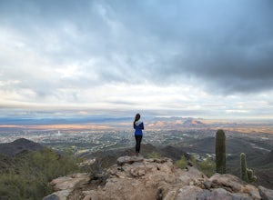
Sunrise Trail to Sunrise Peak
4.83.73 mi / 1037 ft gainSunrise Peak, also known as Sunrise Trail, is located at the residential foothills of the McDowell Mountains in Scottsdale, Arizona. The trail will start next to a residential neighborhood, but after about a quarter mile you'll be immersed in the pristine Sonoran Desert. The trail will lead you t...Read more -
Rio Rico, Arizona
Camp at Patagonia Lake State Park
5.0Patagonia Lake State Park is located about 70 miles southeast of Tucson on State Route 82, 7 miles south of Patagonia, Arizona. Coming from the north, the drive to Patagonia Lake State Park is very scenic; the road winds through rolling hills and countryside with the looming Santa Rita Mountains ...Read more -
Grand Canyon Village, Arizona
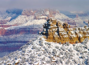
Explore the Grand Canyon in Winter
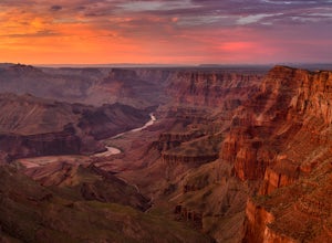
4.7From snow-dusted red rocks to dramatically painted evening skies, winter brings out a side of the Grand Canyon that is rarely seen at other times of the year. Skip the massive crowds and have your choice of driving your own car from lookout point to lookout point or taking the shuttle from the we...Read more -
Apache County, Arizona
Hike the Thompson Trail
5.06 mi / 250 ft gainAs you travel down Forest Road 116, approximately 200 yards before the trailhead, you will see the remains of the old Thompson Cattle Ranch - hence, Thompson Trail #629. The trail begins atop an old railroad grade, a reminder of the very successful logging days that went on for many years. The r...Read more -
Payson, Arizona
Mogollon Rim via Washington Park
4.04.32 mi / 1138 ft gainThis trail begins at the Washington Park Trailhead which meets up with passage #27 of the AZT. You begin traveling northbound as you ascend the great Mogollon Rim. The trail takes you through a gorgeous forest and rewards you with an awesome cliff side view at the summit. 2.25 miles into the tra...Read more -
Flagstaff, Arizona
Abineau-Bear Jaw Loop
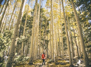
5.07.04 mi / 2031 ft gainThis trail is slightly more hidden on the northern slope of the San Francisco Peaks, but well worth the drive just outside of Flagstaff. Do it during the last week of September, when summer gives it’s last wave goodbye in a spectacle of electric yellow aspen groves. With the exception of occasion...Read more -
Sedona, Arizona
Soldier's Pass Trail to Brins Mesa Trail
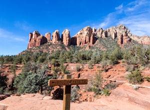
4.84.4 mi / 617 ft gainStarting at the trailhead is a parking lot for around 14 vehicles, arrive early in the morning if you want to be guaranteed a parking spot. Otherwise the hike starts off relatively easy with a quick stop at Devil's Kitchen; a big hole in the ground where a rock has now fallen in (see pictures). ...Read more -
Grand Canyon Village, Arizona
Hike South Kaibab Trail to Cedar Ridge
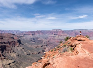
5.02.88 mi / 1158 ft gainTo access the trailhead, you must take a shuttle in. There is not parking next to the trailhead because the parking lot is very small. From the trailhead you cascade down several steep switchbacks and continue on until you reach Ooh Ah point. Ooh Ah point is a great place for a wide or panoramic ...Read more -
Oljato-Monument Valley, Arizona
Wildcat Trail in Monument Valley
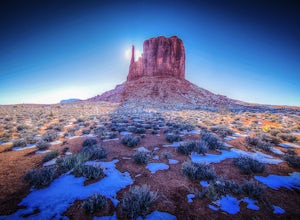
5.03.98 mi / 397 ft gainWhen facing The View from the parking lot, Wildcat Trail is off to the left where the campground is located. It's a 3.2 mile, self-guided loop that takes you around the West Mitten Butte. If you're hiking during the summer be sure to go early and bring a lot of water. You're fully exposed on t...Read more -
Page, Arizona
Hike Cathedral Canyon
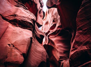
5.01 mi / 50 ft gainCathedral Canyon is located just south of Page, Arizona and west of Coppermine Road and is entirely on Navajo Land, so access is possible only by permission from a local or with a permit from one of the licensed tour companies, of which Chief Tsosi is currently the only one permitted to give perm...Read more -
Payson, Arizona
Cabin Loop Trail
18.82 mi / 2028 ft gainPeople think Arizona is all just desert, but this hike will show you otherwise. Up on the Mogollon Rim, this trail takes you past old cabins, through lush forest, and near many creeks. Day 1: (10 miles) Drive on Rim Road to the General Springs Trail Head. The cabin marks the start of the tr...Read more -
Apache Junction, Arizona
Hike the Boulder Canyon Trail
4.010 mi / 1500 ft gainParking for the trailhead is actually in the same lot as the marina. There is a restaurant, campground, and restrooms all in the vicinity of the parking lot. The actual trailhead is on the other side of the street opposite the parking lot entrance road. The hike begins an uphill climb. In a c...Read more -
GRAND CANYON, Arizona
Capturing the Monsoons in Grand Canyon NP
5.0Being in the right place at the right time is the biggest challenge when attempting to photograph the monsoons at the Grand Canyon. Paying careful attention to the weather patterns throughout the day can help, but your best bet is to watch the clouds, pick a viewpoint, and take your chances. A fe...Read more

