United States
Looking for the best backpacking in United States? We've got you covered with the top trails, trips, hiking, backpacking, camping and more around United States. The detailed guides, photos, and reviews are all submitted by the Outbound community.
Top Backpacking Spots in and near United States
-
Evanston, Utah
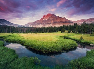
Amethyst Basin via Christmas Meadows
4.512.57 mi / 2303 ft gainDirections: The trail leaves from the Christmas Meadows Trailhead. From Mirror Lake Scenic Byway (US 150) turn on Christmas Meadows Rd. The campground and trailhead are around 3.5 miles down the road dirt road. The road is suitable for low clearance vehicles. Trip Length: 6 miles each way + opt...Read more -
Evanston, Utah
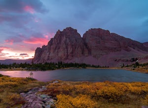
Red Castle and Red Castle Lakes
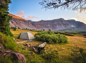
4.623.13 mi / 2149 ft gainThe Red Castle is a stunning formation of crumbling red rock that rises around several small lakes, high in the Uinta Mountains. The trail begins at the China Meadows Trailhead. From there, it heads south for about 8 miles, winding through lodgepole pine forests and skirting vast alpine meadows, ...Read more -
Tiburon, California
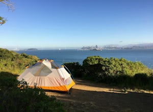
Camp on Angel Island
5.0Thousands of years ago, this island was a fishing and hunting ground for the Miwok Native Americans. It has also been an outpost for the U.S. Army and a cattle ranch. Now, it’s one of the closest places to escape from the hustle of San Francisco and set up camp. Camping on the island requires ba...Read more -
Aspen, Colorado
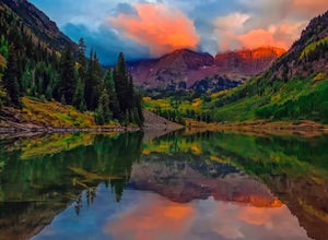
Explore the Maroon Bells & Snowmass Wilderness
5.0The beautiful and iconic Maroon Bells-Snowmass wilderness is home to some of the most amazing scenery and adventures to be had in all of Colorado. It is world-famous for the Maroon Bells, two challenging 14ers just outside of Aspen, Colorado. The third 14er, Pyramid Peak is also considered a clas...Read more -
Supai, Arizona
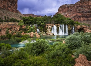
Navajo Falls
4.01.4 mi / 249 ft gainNavajo Falls Navajo Falls was created by a flash flood that tore through Havasu Canyon in August of 2008, altering the course of Havasu Creek. Visitors can reach these and other nearby falls via horseback, helicopter, or hiking from Supai Village. It is a relatively short hike from camp (just o...Read more -
Granite Falls, Washington
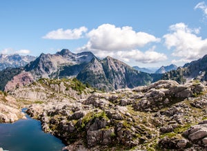
Gothic Basin
4.48.74 mi / 2785 ft gainLooking for a hike that will make you feel like you're in a foreign landscape, but don't have to deal with that far of a drive? Then consider hiking Gothic Basin. This hike is located only 30 miles down the Mountain Loop Highway, which is nearly a hour shorter for people that live in the greater ...Read more -
Kanab, Utah
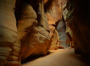
Hike Buckskin Gulch, Vermillion Cliffs Wilderness
4.615 miBuckskin Gulch is a natural wonder. At 15 miles long it is the longest slot canyon in the world. It sometimes is as narrow as 2ft. Because of the nature of this canyon and Utah topography this canyon is subject to deadly flash flood if it rains anywhere along the headwaters. Be sure to check in w...Read more -
Detroit, Oregon
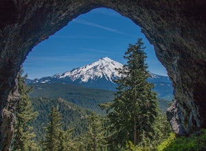
Boca Cave & Triangulation Peak
4.04.75 mi / 1053 ft gainTriangulation Peak, Spire Rock and Boca Cave TH #3372 The trail starts on level ground where you travel east along the top of the ridge. There are multiple trees that have fallen across the trail making the hike quite adventurous. Some trees you'll go over and some you will need to go under. Dep...Read more -
Altamont, Tennessee
Greeter Falls and Blue Hole
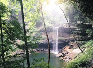
4.91.79 mi / 417 ft gainAn easy, yet extremely beautiful and well marked drive leads to a pretty sizable parking lot at the trailhead. There are multiple trails to hike, depending on how much time you have or how long you want to hike. This particular trail makes for a perfect day trip from Nashville, Chattanooga or Kno...Read more -
Lyndhurst, Virginia
Backpack Three Ridges Loop
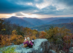
4.614.2 mi / 3960 ft gainFrom the parking area at Reids Gap, start off on the white-blazed A.T heading south as the trail begins on the left side of a clearing. You will begin climbing Meadow Mountain shortly and in .8 miles arrive at the top of the ridge, where you will continue on downhill for another .8 miles until y...Read more -
Amherst, Virginia
Mount Pleasant Loop
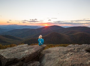
4.65.98 mi / 1427 ft gainFrom the Mount Pleasant Parking Area, take the blue blazed Pompey Mountain Trail that is just beyond the horse gate. As it's a loop, you can start at either entrance, but I prefer heading left to get the longer leg of the hike before the summit (always better to have an easy journey down in the a...Read more -
Emery County, Utah
Camp at the Little Grand Canyon
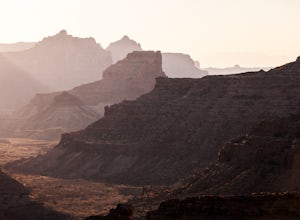
4.6The Wedge and The Little Grand Canyon are located in Eastern Utah and despite their amazing beauty are relatively unknown and overlooked partly due to their close proximity to national parks like Arches and Canyonlands. With it's massive size, The San Rafael Swell, where The Little Grand Canyon i...Read more -
Evanston, Utah
Kings Peak
4.828.56 mi / 5213 ft gainFrom the Henry Fork Trailhead (approx. 9400 feet elev.) the trail gains very little elevation during the first 5.5 miles with several lakes to camp by along the way. The first lake reached is Alligator Lake. At just under 3 miles from the trailhead, this beautiful lake is an excellent choice for ...Read more -
Ronald, Washington
Tuck and Robin Lakes
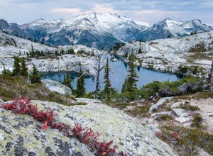
4.313.94 mi / 4199 ft gainRobin Lakes have been coined "The Little Enchantments", and once you visit, you'll realize the nickname is strikingly accurate. But while the hike up is no Aasgard Pass, it's far from a walk in the park. When you leave the car at the end of the pothole-ridden Salmon La Sac forest service road, y...Read more -
New Harmony, Utah
Kolob Arch
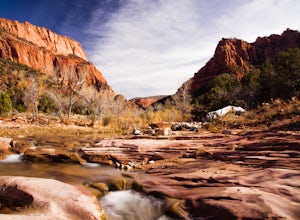
4.713.86 miIn the lesser traveled area of Zion National Park sits Kolob Arch, a sandstone arch high up on a cliff tucked back in the canyon. To get to Kolob Arch take exit 40 on I-15 in Utah. You'll see a Zion National Park Visitor's Center. Here you can fill up on water, use the bathroom, and get a map to...Read more -
Bluemont, Virginia
Hike to Bears Den Overlook
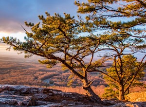
4.41.31 mi / 164 ft gainBears Den is a collection of rocks and boulders that overlooks the Shenandoah Valley in northern Virginia, just off the Appalachian Trail. You have two options to access this overlook: park at the bottom of the mountain and hike up to the overlook via the trail, or drive to the top and access the...Read more

