United States
Looking for the best backpacking in United States? We've got you covered with the top trails, trips, hiking, backpacking, camping and more around United States. The detailed guides, photos, and reviews are all submitted by the Outbound community.
Top Backpacking Spots in and near United States
-
Forks of Salmon, California
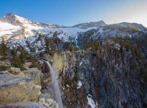
Grizzly Lake via China Gulch Trailhead
4.414.6 mi / 5112 ft gainGrizzly Lake is in the Trinity Alps Wilderness. The lake is know for its brilliant waterfall flowing from the lake's surface straight off the side of a cliff and roughly 600 feet down to the meadow below. Grizzly lake is located in some of America's most amazing and remote alpine wilderness, incl...Read more -
Lowman, Idaho
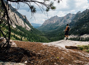
Redfish Lake to Alpine Lake
5.010.85 mi / 1893 ft gainJust south of the beautiful town of Stanley, Idaho lays one of coolest lakes in the region: Redfish Lake. Redfish is a banana shaped lake that boasts some of the most epic camping spots in all of Idaho. Using this area as home base, there's countless adventures within just a few miles. One of the...Read more -
Ojai, California
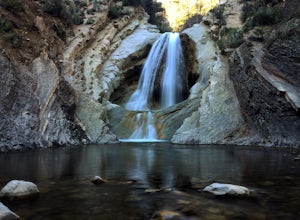
Matilija Falls
5.08.6 mi / 0 ft gainNote: This trail is temporarily closed. For more updates, please visit the Forest Service website for more updates. ...If you've read most of my blogs, you'll probably notice I have a fascination for waterfalls! I've done this hike multiple times, but it wasn't until this day where I saw these ...Read more -
Roan Mountain, Tennessee
Roan Highlands: Carvers Gap to US 19E via Appalachian Trail
5.015.47 mi / 2598 ft gainThe Roan highlands, possibly one of the best sections of the Appalachian Trail, is a section of grassy balds that range from 5000-6000 feet following the A.T. Start at Carvers Gap ( Highway 261 NC / Highway 143 TN) on the TN/NC border. You can either leave a car at Highway 19E or arrange for a s...Read more -
Mount Hood, Oregon
McNeil Point via Top Spur Trailhead
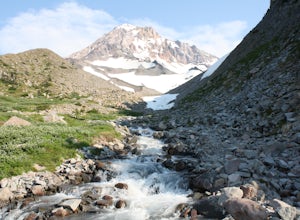
4.97.17 mi / 2428 ft gainThe hike to McNeil Point begins at Top Spur Trailhead, in the Mt. Hood National Wilderness. Follow signs for McNeil Point along the Pacific Crest and Timberline Trails heading north. Though there are numerous camping opportunities along the way (most of the route follows the PCT), an old stone s...Read more -
Daleville, Virginia
Hay Rock
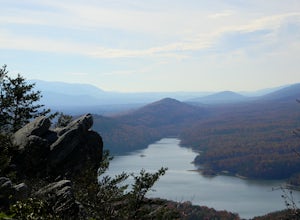
4.67.48 mi / 1276 ft gainIf you're looking for a hike in the Roanoke area without the crowds that McAfee Knob draws, but still want a challenging hike with great views, try hiking to Hay Rock. This 7.5 mile round trip hike begins at the Park and Ride just off I-81 at the US-220 Troutville/Fincastle exit (150B). The gra...Read more -
Skamania County, Washington
Indian Heaven to Blue Lake
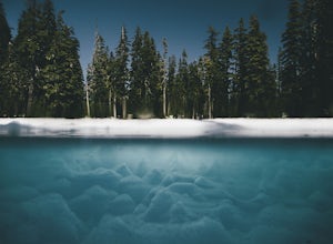
4.56.71 mi / 997 ft gainCrowds and mosquitoes were nonexistent as we went a bit early in the season. The trails were all covered in snow, but we were able to do some way finding with a GPS and topo map. 3.5 miles in we found a dry spot next to Blue Lake and set up shop. After dropping off our gear we climbed up Gifford...Read more -
Garfield County, Utah
Golden Cathedral Trail
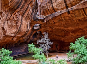
4.59.27 mi / 1398 ft gainFrom highway 12, drive south down the hole in the rock road for about 17 miles to a dirt road on the left that is well marked for Egypt. Follow that dirt road 9.9 miles to the Egypt Trailhead. There is a BLM trail register at the trail head. After that, take one of the numerous ways down to the E...Read more -
Sandy, Utah
Climbing in the Lone Peak Cirque
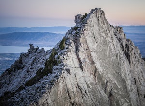
4.0Lone Peak reaches 11,253 feet at its summit. It's alpine feel is unique as it stands above the busy city below. While this gem is one of the highlights in the Wasatch range, it must be earned. A long steep approach, best done at night in the summer months, deposits you in the high meadow surround...Read more -
Kyburz, California
Backpack to Smith Lake, Desolation Wilderness
5.05.6 mi / 1750 ft gainTo get to the Twin Lakes Trailhead from the Bay Area/Sacramento, head east on HWY 50 past Kyburz for 4 miles until you see the left-hand turnoff for Wrights Road. If coming westbound on HWY 50, this will be a right-hand turn 5 miles past Strawberry. Follow this paved road for 8 miles (watch for p...Read more -
Lawton, Oklahoma
Climb at the Wichita Mountains Wildlife Refuge
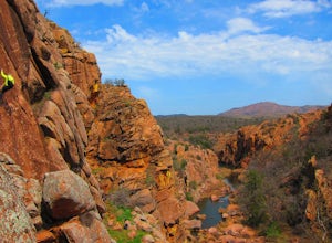
4.5The Wichita Mountains is a paradise for those trapped in the flat lands of Oklahoma and Texas! From Oklahoma City it's approx. 2 hours 15 minutes, and from Dallas/Ft Worth (TX) approx. 4 hours.Talk about a place that holds tons of potential and houses some of the best climbs in the state! Over th...Read more -
Amboy, Washington
Siouxon Trail to 14 Mile Falls
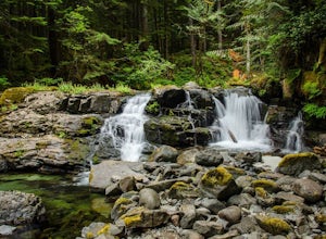
5.013.03 mi / 2310 ft gainWhen you park at the top of the trail, all you see is layers and layers of emerald trees and ground clear of any underbrush. Once on the trail, you start on a rapid decline that brings you to the first of the many streams along this hike. Cross the bridge made out of logs and head towards the ma...Read more -
Boulder Creek, California
Big Basin's Sunset Trail Camp
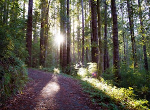
4.89.46 mi / 2146 ft gainThis trail and campsite is currently closed (learn more). Looking for a more authentic hiking and camping weekend, without having to drive hours away to find it? Then the Sunset Trail Camp within Big Basin Redwoods SP is your ticket. To access this site, you'll need to hike the famous Skyline-to...Read more -
Del Rio, Tennessee
Max Patch Mountain
5.01.51 mi / 315 ft gainMax Patch Mountain was once cleared for pasture land, leaving an expansive flat summit that now serves as the ideal location for a picnic hike, flying a kite, or laying in the sun surrounded by the Great Smoky Mountains. With little elevation gain and a short distance it is also very family (and ...Read more -
Saratoga, California
Backpack Castle Rock State Park
4.7Castle Rock Trail Camp has a different policy than other backcountry camps in the area (i.e. campsites along Skyline to the Sea). This campground is open all year and is available on a first come, first served basis. If you can, grab a spot a Frog Flat Camp. To get to the camp, park your car at t...Read more -
Nederland, Colorado
Heart and Rogers Peak Lakes
4.88.62 mi / 2113 ft gainThe hike begins at the East Portal Trailhead outside Rollinsville. Start hiking along the South Boulder trail to the right (north) of the very obvious Moffat Rail tunnel. The trail begins with moderate grades past the Forest Lakes cutoff just 1.25 miles from the trailhead. Continue hiking straigh...Read more

