Aguanga, California
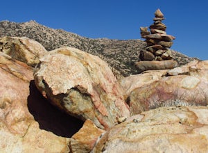
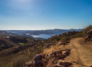
A top choice for outdoor adventures in Aguanga, California is the Pacific Crest Trail. This must-visit hiking trail spans a significant portion of the state, offering scenic views of the diverse California landscape. Hikers can enjoy views of the nearby Lake Riverside and the Cahuilla Creek Casino, both located within Aguanga. The trail is moderately difficult, making it suitable for most hikers. Unique features of the trail include the vast array of rock formations and the opportunity to spot local wildlife. The Pacific Crest Trail is one of the best trails and outdoor activities in Aguanga, California. It's an ideal spot for those seeking to explore the great outdoors and enjoy the natural beauty of the area. Whether you're a seasoned hiker or a beginner, this trail has something to offer everyone.
Top Spots in and near Aguanga
-
Encinitas, California
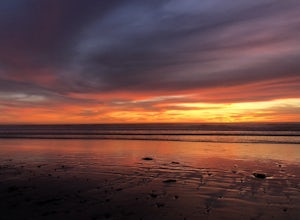
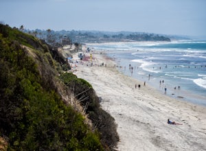
Photograph Surfers at Beacons Beach
5.0Pack for a day of fun, and don’t forget your camera! Getting there is easy. You can plug “beacons beach” or Leucadia State Beach right into your gps. You’ll find it right off of Neptune Street, where you can park in the parking lot on top of the sea bluff. Walk down the windy beach trail and you ...Read more -
Lake Elsinore, California
Explore Walker Canyon
4.3Walker canyon is within easy driving distance from most places in Orange County and San Diego which makes for a great day trip. While there is no official parking lot for the trail you will be able to find parking all along Lake Street and Walker Canyon Road. The trail begins at the corner of L...Read more -
Lake Elsinore, California
Ride the San Juan Trail
4.511 mi / 3400 ft gainThe San Juan Trail is located off the Ortega Highway (Hwy 74) in Southern Orange County. It is done frequently as a long, 11 mile climb that is rewarded by an almost continuous descent of 3400ft. The out-and-back trail head is back Hot Spring Canyon Rd from the San Juan Fire Station. It can also ...Read more -
Lakeside, California
Hike El Cajon Mountain
4.512 mi / 4100 ft gainThis challenging trek is a great way to get in shape for that spring or summer trip to the Sierras. You may have heard others tell you how tough the hike is and they're not kidding. You'll be gaining 4100 feet over the 12 miles to the peak and back. If you have the time and the energy, you should...Read more -
Lakeside, California
Hike the Oakoasis Open Space Preserve
2.5 mi / 300 ft gainStarting at the trail-head, head down towards the oak-lined ravine marking the beginning of the hike. With trees already growing back from the 2003 fire, these sections of the trail are nice and shady, and quite relaxing. About 1 mile in you will start to see the San Vicente Reservoir to your lef...Read more -
Encinitas, California
Stonesteps Beach
Stonesteps Beach is incredibly scenic during every season. In the winter this beach is usually fairly rocky, and in the spring/summer the sand returns. If you're looking to hang out on this beach just be sure to set up your towel or chair a good ways away from the cliffside as there is a lot of...Read more -
San Diego, California
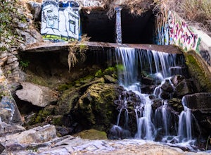
Explore Chambers Hidden Dam and Waterfall
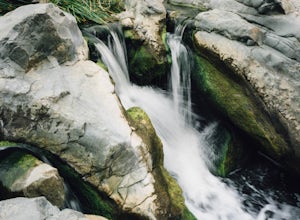
3.20.5 miOnce you get off on Poway road, turn right onto Sabre Springs Parkway. Take your immediate left onto Creekbridge Road and park right there on the hill. Walk straight down towards the black gate and go down the hill. Turn right on the trail and walk down 1/4 mile to the dam, and another 500 yards ...Read more -
Borrego Springs, California
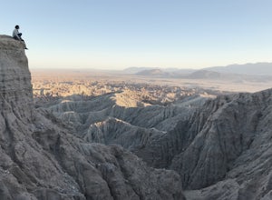
Catch a Sunset at Fonts Point
4.04 miThe best time to go to Fonts point is right before the sun sets. It is located in the desert, so be sure to dress warmly and bring a blanket or two.In order to get to Fonts Point, you'll have to drive through roughly 4 miles of sand and rocks. 4x4 is strongly recommended, but keep an eye on road ...Read more -
Julian, California
Hike Stonewall Peak
4.73.82 mi / 820 ft gainThis hike is one of the most popular in the Cuyamaca Rancho State Park. When you reach Stonewall Peak's summit, enjoy the view of the surrounding park and nearby Lake Cuyamaca. The hike up the east side is a popular and relatively easy trail. Although you'll be gaining 800 feet, the hike is relat...Read more -
Julian, California
Hike Cuyamaca Peak
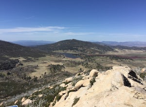
4.55.5 mi / 1700 ft gainThis peak is one of the tallest in the county. Reaching the summit of the peak takes you to an elevation of 6500'. Although this peak isn't as challenging as others nearby, it's located in the center of San Diego, which offers up amazing views, which is the main reason to take this hike. The best...Read more -
Julian, California
Blair Valley Trail
11.4 mi / 873 ft gainBlair Valley Trail is a loop trail where you may see wildflowers located near Julian, California.Read more -
Encinitas, California
Encinitas Coastal Rail Trail
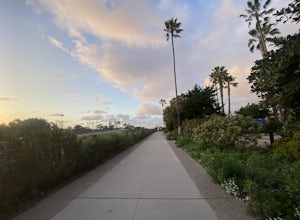
2.61 mi / 33 ft gainThe Cardiff/Encinitas Coastal Rail Trail (part of the longer, ongoing project to eventually run 44 miles between Oceanside and San Diego) is a beautiful, mellow, and well-maintained pathway that runs from the corner of Chesterfield Dr. & San Elijo Ave. (right across the street from the Patago...Read more -
San Diego, California
Los Penasquitos Canyon Loop
3.36.77 mi / 131 ft gainLos Penasquitos Canyon Loop After about a five minute hike on the trail you will start to enter into Los Penasquitos Canyon. Every section of the trail is different, one minute you are walking next to a stream with trees arching over the trail and another minute you are walking through an open f...Read more -
Encinitas, California
San Elijo State Beach Campground
4.5This campground is located right next to the beach as well as next to the San Elijo Lagoon. Head to the beach during the day for a swim. This is also a great place to catch a sunset. If you want to stretch your legs and get moving a bit, you can hike around the San Elijo Lagoon to the east of the...Read more -
Solana Beach, California
Annie’s Canyon Trailhead
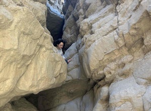
4.72 mi / 100 ft gainIf you're looking for a super short hike, this 10 minute flat walk couldn't be more ideal. Start at 840 N Rios Avenue, Solana beach and walk east towards the FWY 5 where you will see Annie’s Canyon on your right. There is only one way to go up the canyons and it gets pretty tight in places, but y...Read more -
San Diego, California
Los Penasquitos Waterfall via Los Penasquitos Canyon Trailhead
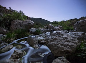
4.34.15 mi / 115 ft gainThe Los Penasquitos Preserve waterfall is a hidden gem of San Diego and a popular spot for locals within the area. The hike to the waterfall lies within a preserve of approximately 4,000 acres. There are many different trailheads that lead to the waterfall all offering a unique experience. I alwa...Read more

