Big Pine, California
Looking for the best hiking in Big Pine? We've got you covered with the top trails, trips, hiking, backpacking, camping and more around Big Pine. The detailed guides, photos, and reviews are all submitted by the Outbound community.
Top Hiking Spots in and near Big Pine
-
Sierra, California
Rae Lakes Loop
5.039.08 mi / 7316 ft gainDay one: After checking in with the park ranger and getting your required permits you will start your hike along a 1.8 mile stretch along the south fork of the Kings River. At this point, people typically go clockwise toward Paradise Valley but you can also go counterclockwise along Bubbs Creek. ...Read more -
Sierra, California
Hike to Mist Falls
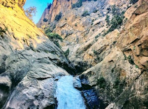
4.59 mi / 600 ft gainThe trailhead starts at Roads' End (the end of Hwy 180). Take the Bubbs Creek/Kanawyer Loop Trail and hike east. For the first three miles the trail is relatively flat through an open pine forest. Make sure to look up as there are some great views of the valley. The granite walls on both sides of...Read more -
Bishop, California
Hike Morgan Pass to 7 Scenic Lakes
5.010 miTake the 395 North for 20 miles past Bishop and make a left on Rock Creek Road. Follow this road for 10 miles until you reach the free parking area at the Mosquito Flats Trailhead. Even on a holiday weekend, finding parking wasn’t a problem. The trailhead offers easy access to bathrooms and bear ...Read more -
Bishop, California
Fish for a Sierra Grand Slam in Little Lakes
Access to this relatively mellow (for the Sierras) trail can be reached via Rock Creek Road off of Highway 395, north of the town of Bishop, California. Following Rock Creek road southwest until its terminus will take you directly to the parking lot and signed trailhead for Little Lakes Valley.Fr...Read more -
Bishop, California
Backpack to Ruby Lake
5.04 mi / 1000 ft gainAt 10,200 feet, the trailhead (Little Lakes Valley) for Ruby Lake is one of the highest (if not the highest) in the Sierra. Meaning you get right to the heart of the mountains quickly. Ruby Lake itself is at 11,200 feet elevation.How to get there: At Tom's Place off of Hwy 395, turn southwest int...Read more -
Bishop, California
Hike to Little Lakes Valley in the John Muir Wilderness
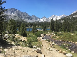
5.03.2 mi / 300 ft gainThe Little Lakes Valley located in the John Muir Wilderness provides easy access to spectacular views of High Sierra peaks as well as a long list of beautiful alpine lakes.The area is accessed via the Mono Pass Trail starting from Mosquito Flat/Little Lakes Trailhead. From the trailhead at the e...Read more -
Fresno County, California
Explore Zumwalt Meadow and Roaring River Falls
4.54.1 mi / 475 ft gainThe Zumwalt Meadow and Roaring River Falls Trail is a 4.1 mile hike in Kings Canyon National Park. You feel remote, even with a road nearby. The minimal elevation change makes this a scenic hike for all skill levels. Bring bug spray and wear long sleeve hiking clothing in August, as the bugs are ...Read more -
Fresno County, California
Hike to Lookout Peak
12 miYou'll want an early start to this hike so consider camping in the park the night before. If you enter the park via CA-180 and follow it for a ways (passing Kings Canyon Visitor Center, Kings Canyon Lodge, and eventually the Cedar Grove Visitor Center) you'll come up to two campsites on the left-...Read more -
Inyo County, California
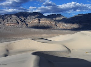
Explore Eureka Dunes and Hidden Dunes
THE HIDDEN DUNES HIKEFrom the well, you will want to hike towards a gap in the mountains off to the West. Hopefully, you were able to see the dunes on the way in as described above to help gauge the direction to head in. A map, or GPS, can make this easier too, but probably isn’t needed. Just oc...Read more -
Lakeshore, California
Evolution Valley via Florence Lake
4.530.36 mi / 3238 ft gainYou can get to the Evolution Basin a variety of ways, but the easiest is through the Florence Lake Trailhead. Here, you can choose to either take the Florence Lake Ferry across the lake, or save $25 and hike the extra 4 miles around the lake. Personally, I would choose the ferry. About five mile...Read more -
Lakeshore, California
Backpack to Crater Lake, Sierra National Forest
8.4 mi / 2100 ft gainStarting at Lake Florence, this hike starts out with a climb up and keeps this up over the next 3 miles. After about 3 miles of climbing you reach another lake, Dutch Lake which provides shade and a nice place to rest. From there it's a relatively flat 1.2 miles in to your destination. Once at Cr...Read more -
Mammoth Lakes, California
Hike to Steelhead Lake through McGee Creek Canyon
5.011.5 mi / 2510 ft gainWhether you’re looking for a dayhike near Mammoth Lakes, planning a backpacking trip along the JMT, or have a few extra hours to spare on a cross-California road trip, this is an easy and popular trail choice for killer mountain views.I was delighted to discover that this is one of the most easil...Read more -
Mammoth Lakes, California
Backpack to Red Slate Mountain
22 mi / 5600 ft gainI would recommend you spend the night in the area to acclimatize, since the trailhead does start at ~8,000ft and you will be hiking up to ~10,500ft at the end of the first day and climbing up to 13,100ft on the second day. One option would be to reserve a spot at the nearby McGee Creek Campground...Read more -
Mammoth Lakes, California
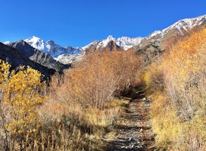
Photograph the Fall Colors of McGee Creek
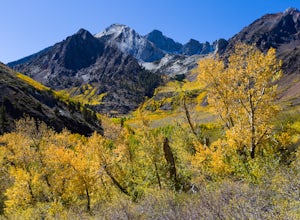
5.03 mi / 500 ft gainMcGee Creek is one of my favorite spots in the Eastern Sierra to photography the fall color. Most people avoid the area because the best views require you to hike and explore but the rewards are worth it. Right close to the parking lot is McGee Creek which is a beautiful creek to photograph offer...Read more -
Lone Pine, California
Photograph Eye of the Alabama Hills Arch
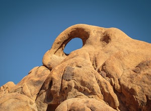
3.50.4 miThe Eye of the Alabama Hills Arch is a quick hike or drive from the popular Mobius Arch just off Movie Flat Road. The rocks around the arch offer outstanding views of the surrounding Alabama Hills and Sierra Mountains. To get to the arch follow the directions for Mobius Arch which is a great firs...Read more -
The Mobius Arch Loop Trailhead, California
Mobius Arch Loop
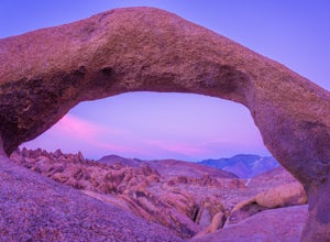
4.40.63 mi / 46 ft gainThe Alabama Hills area of Lone Pine, CA is located on the eastern side of the Sierra Nevadas. As you drive along Movie Flat Road you will be surrounded by a sea of golden brown boulders of varying shapes and sizes extending in every direction. The main attraction in Alabama Hills is definitely th...Read more

