Colfax, California
Colfax, California offers some of the top trails and outdoor activities. A must-visit is the Stevens Trail, a scenic 9-mile round trip hike that offers breathtaking views of the American River. Known for its wildflowers and unique rock formations, it's a moderate difficulty trail that's perfect for a day hike. For a shorter trek, try the Colfax Trail. This 3-mile trail follows an old railroad grade with views of the city and surrounding hills. For water-based outdoor adventures, Rollins Lake is a popular spot for boating and fishing. Nearby, Bear River Park offers a sandy beach and picnic areas. Whether you're a hiker or boater, Colfax offers some of the best outdoor activities for all.
Top Spots in and near Colfax
-
Olympic Valley, California
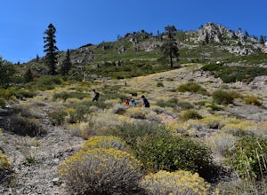
Hike the Thunder Mountain Trail
5.03.2 mi / 2000 ft gainThe Thunder Mountain Trail is the perfect hike to explore the Squaw Valley Alpine Meadows. Squaw may be famed for its mountain ski runs in the winter, but when the snow melts in the summer, beautiful alpine meadows line the mountain and the ski runs turn into hiking trails! The Thunder Mountain T...Read more -
Sierra City, California
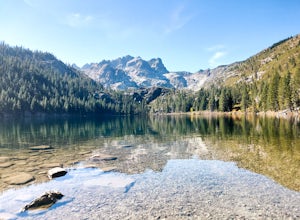
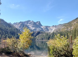
Paddle Lower Sardine Lake
5.0Lower Sardine Lake is a short drive from Sardine Lakes Campground. It has crystal clear water and is a very smooth place to paddle. This is also a popular fishing and kayaking spot. There are many fallen trees in the lake and a couple rocks that come up almost to the surface. The water in genera...Read more -
Sierra City, California
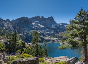
Sardine Lakes
1.32 mi / 253 ft gainSardine Lakes is a loop trail that takes you by a lake located near Sierra City, California.Read more -
Sierra City, California
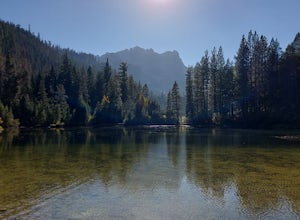
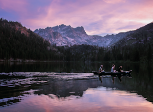
Relax at Sand Pond
5.0Sand Pond is a great place to relax after a day of hiking or paddling. It's located between Sardine Lake Campground and Lower Sardine Lake and is an easy 10 min walk from the campground. Sand Pond has beautiful views of the mountains and is a great place to watch the sunset. There are small fish ...Read more -
Sierra City, California
Camp at Sardine Lake Campground
5.0This campground is first come first serve and is located near Lower Sardine Lake. There are a couple bathrooms located around the loop. Most campsites have trees, perfect for hammocking and shade. The campsite has great views of the mountains. There are a couple hiking trails nearby. Lower Sard...Read more -
Sierra City, California
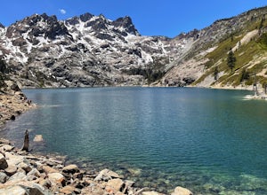
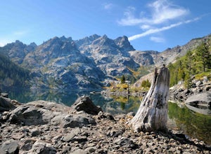
Sierra Buttes and Sardine Lakes
4.86.19 mi / 3333 ft gainThe Sierra Buttes are one of the most scenic mountain features in all of the Sierra Nevadas. Nestled below the buttes are Upper and Lower Sardine lakes which both offer amazing fishing. Sardine Lake Resort lies at the base of the mountains and offers boat rentals, dining and cabin rentals. Just m...Read more -
Calpine, California
Camp at Salmon Creek Campground
Salmon Creek Campground is a quiet campground in the Northern Sierra Buttes. Since it is right up the road from Sardine Lakes it seems to get overlooked a bit. We were able to reserve three campsites the same week of our trip. There were 11 to choose from! The campground is just passed the turn f...Read more -
Calpine, California
Gold Lakes, Sierra Buttes, 45mi
If you never travel north of the Tahoe Basin into the Sierra Valley and beyond, you should. It is gorgeous, peaceful country, with wide open spaces and, compared to Tahoe, relatively uncrowded roads. This loops takes us from Bassett’s Station toward Sattley, north on 89, a brief stop to regroup i...Read more -
Carmichael, California
Levee Path/American River Bike Trail: Williams Pond Rec Area to Watt Ave
5.93 mi / 112 ft gainLevee Path/American River Bike Trail: Williams Pond Rec Area to Watt Ave is a loop trail that is good for all skill levels located near Carmichael, California.Read more -
Truckee, California
China Cove Loop at Donner Lake
4.63.11 miThis is a casual hike in an area with a ton of history. Stop by the museum before or after your hike to learn about the Donner Party, the Transcontinental Railroad, and local Native Americans Park at the Donner Lake and Memorial State Park Visitor Center and walk west towards the lake. Cross the...Read more -
Truckee, California
Mt. Judah Loop Trail
5.05.5 mi / 1700 ft gainA wonderful hike in Lake Tahoe is the Mt. Judah Loop Trail that offers sweeping views of Donner Lake and the surrounding Sierra Nevada mountains on the North Shore. As a resident on the North Shore, many of my recreational activities favor this side of the Lake but there are marvelous hikes in ...Read more -
Truckee, California
Cross-Country Ski to Drifter Hut
3.09.6 mi / 980 ft gainSet out from the Tahoe Donner Cross Country center in Truckee at 6,650 feet elevation. Day passes range from $12 to $34, depending on time of day and skier age, and provide access to over 100 kilometers of groomed trails. Leaving the day lodge, there are multiple options for skiing up to Drifter ...Read more -
Kyburz, California
Gertrude Lake Trail
8.28 mi / 1362 ft gainGertrude Lake Trail is an out-and-back trail that takes you by a lake located near Kyburz, California.Read more -
Kyburz, California
Backpack Desolation's Primitive Western Edge through Rockbound Pass
4.426.28 mi / 5151 ft gainThis 26 mile loop meanders through some of the most primitive trails in Desolation Wilderness. Starting from Wrights Lake, the route proceeds over Rockbound Pass, loops around several lakes, and returns to Wrights Lake. Not many hikers venture past the steep and rocky Rockbound Pass to enter this...Read more -
Homewood, California
Eagle Rock
4.00.84 mi / 105 ft gainStarting at an outcrop off Highway 89 in Tahoe Pines, hikers make their way up the trail through a gradually sloping forest. Climbing rocks and logs, it is strenuous at times but only takes about 15-20 minutes to accomplish. Once at the top, the elevation is 6,286 feet and consists of an absolute...Read more -
Kyburz, California
Hike to Twin and Island Lakes
5.07 mi / 1600 ft gainThe Twin Lakes trail starts winding through a pine forest, with a couple bridge crossings over crystal clear trout-filled streams. The marsh-like water is very slow moving, and even though it is indeed beautiful, it is also a prime location for pesky mosquitoes in the summertime. Be sure to loa...Read more

