Colfax, California
Colfax, California offers some of the top trails and outdoor activities. A must-visit is the Stevens Trail, a scenic 9-mile round trip hike that offers breathtaking views of the American River. Known for its wildflowers and unique rock formations, it's a moderate difficulty trail that's perfect for a day hike. For a shorter trek, try the Colfax Trail. This 3-mile trail follows an old railroad grade with views of the city and surrounding hills. For water-based outdoor adventures, Rollins Lake is a popular spot for boating and fishing. Nearby, Bear River Park offers a sandy beach and picnic areas. Whether you're a hiker or boater, Colfax offers some of the best outdoor activities for all.
Top Spots in and near Colfax
-
Kyburz, California
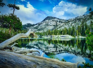
Backpack to Smith Lake, Desolation Wilderness
5.05.6 mi / 1750 ft gainTo get to the Twin Lakes Trailhead from the Bay Area/Sacramento, head east on HWY 50 past Kyburz for 4 miles until you see the left-hand turnoff for Wrights Road. If coming westbound on HWY 50, this will be a right-hand turn 5 miles past Strawberry. Follow this paved road for 8 miles (watch for p...Read more -
Kyburz, California
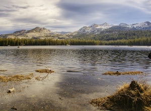
Hike the Grouse, Hemlock, and Smith Lake Trail
5.0Starting from the Wright's Lake parking area, walk past the service gate to find the loop trail. Follow the loop trail to the signed trail for Twin, Grouse, Island, and Hemlock Lakes heading toward the right. You will begin an approximate 150 foot ascend before coming to a saddle. Another 150 foo...Read more -
Kyburz, California
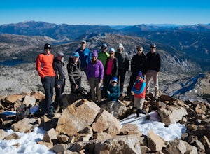
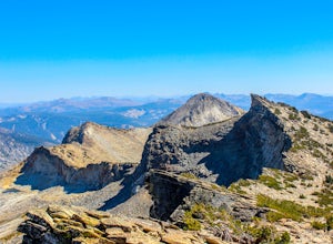
Hike Pyramid Peak
5.0Although it stands only slightly higher than its neighbors, Pyramid Peak nonetheless dominates the Crystal Range atop which it sits. Great views from the summit make this a must-do.The Route: The route is fairly straightforward to Lake Sylvia (see map). Simply follow the well-defined Lyons Cr...Read more -
Oroville, California
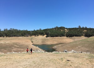
Feather River Trail Upper Section
3.23 mi / 89 ft gainFeather River Trail Upper Section is an out-and-back trail that takes you by a river located near Oroville, California.Read more -
Tahoe City, California
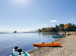
Paddle Commons Beach
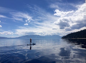
5.0Commons Beach is a small beach and park on the northwest side of the lake. It is located very close to the CA-89 exit, so is ideal for road trip stops. There is a park for kids, and a grassy area near the beach. The beach itself is on the smaller side, but is relatively uncrowded. This area of th...Read more -
Truckee, California
Ski and Snowboard Northstar
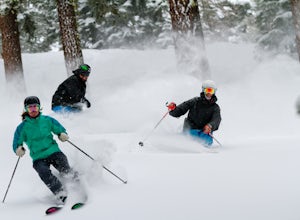
3.5Northstar California, previously known as Northstar-at-Tahoe, is located near the north shore of Lake Tahoe and is home to over 3,000 acres of skiable terrain. The resort is known for its laid back atmosphere coupled with high-end luxury accommodations, shopping and dining.The resort is home to i...Read more -
Tahoma, California
Backpack to Crag Lake
4.011.1 mi / 1220 ft gainDay 1:This trip is a great early season trip while you are waiting for the snow to melt in the high country or it could be a good first backpacking trip because of its proximity to the trailhead and the fact that it's a relatively easy hike. Also, you get to camp by a beautiful lake with a drama...Read more -
South Lake Tahoe, California
Paddle from Meeks Bay to D.L. Bliss
The water at Meeks Bay is perfectly crystal clear, a mix of different blues and greens – you can see the bottom floor in most places. Hug the buoy line to have a clear view to the lake's bottom, or cruise the dark blue waters where the lake falls off from 20ft deep to some of its deepest levels o...Read more -
Tahoe City, California
Purple Trail and Burton Creek Loop
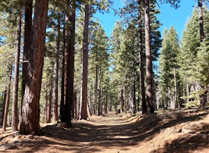
3.76 mi / 492 ft gainBurton Creek State Park is a moderate hike. It is a secluded peaceful hike that offers amazing views of the lake. This is a popular spot for mountain bikers, but is also ideal for hiking. Much of the trail is through the forest and there are many maps and signs pointing out the trails. The hike ...Read more -
Tahoma, California
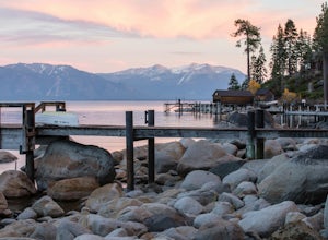
Meeks Bay
4.7Nestled along the southwest shore of Lake Tahoe, Meeks Bay is a great destination offering a blend of outdoor adventure and relaxation. With its crystal-clear waters and sandy beaches, Meeks Bay is great for swimming especially on hot summer days or after hitting the trails. Whether you're see...Read more -
Frazier Creek Road, California
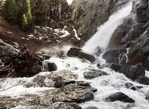
Hike to Frazier Falls
4.01 mi / 1 ft gainFrazier Falls is the ultimate family hike. Because the paved trail is only a mile long round trip, this trail is open to nearly anyone. Because of its relativly easy access and family friendly nature, this trail can get busy during the summer months.To reach Frazier Falls from the town of Graea...Read more -
Twin Bridges, California
Summit Price & Agassiz from Desolation Wilderness
5.0Mount Price (9,975') is the second highest summit in the Desolation Wilderness, standing just eight feet lower than Pyramid Peak to the south. In between these two peaks stands Mount Agassiz (9,967'), whose overhanging summit resembles a granite wave poised to crash down into the Desolation Vall...Read more -
Tahoe City, California
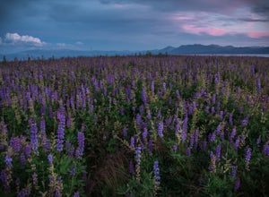
Photograph the Lupine at Lake Forest Beach
A quick walk through Lake Forest Beach in Tahoe City, California provides unparalleled opportunities to photograph expansive fields of lupine. These brilliant purple wildflowers cover the lowland shore of this public beach each summer, typically starting in mid-July through mid-August. In drought...Read more -
Truckee, California
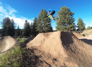
Ride the Truckee Bike Park
5.01 mi / 50 ft gainTruckee bike park is a great destination for all ages of bike riders. There are several different features including a pump track, dual slalom course, dirt jumps, strider track and more! This park is kid friendly but be sure to pack a helmet and pads especially for first-timers. More experienced ...Read more -
South Lake Tahoe, California
D.L. Bliss State Park to Emerald Bay State Park via Rubicon Trail
7.21 mi / 1424 ft gainD.L. Bliss State Park to Emerald Bay State Park via Rubicon Trail is an out-and-back trail that takes you by a lake located near Tahoma, California.Read more -
South Lake Tahoe, California
Rock Climb at Eagle Lake Cliffs
4 miTo Access Eagle Lake Cliffs Crag, head to the West Shore of South Lake Tahoe. You’ll want to park at Emerald Bay Parking Lot and head to the trail register. It’s almost always packed, so come early, or plan to park on the road and walk. Sign yourself and your party number in for the day access pa...Read more


