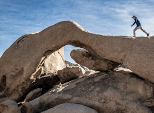
Desert Hot Springs, California
Looking for the best camping in Desert Hot Springs? We've got you covered with the top trails, trips, hiking, backpacking, camping and more around Desert Hot Springs. The detailed guides, photos, and reviews are all submitted by the Outbound community.
Top Camping Spots in and near Desert Hot Springs
-
Desert Hot Springs, California
Mission Creek Trail
15.33 mi / 1594 ft gainMission Creek Trail is an out-and-back trail that takes you by a river located near Whitewater, California.Read more -
9160 Whitewater Canyon Road, California
Whitewater Ranger Station to Cottonwood TH via PCT
7.79 mi / 1421 ft gainWhitewater Ranger Station to Cottonwood TH via PCT is a point-to-point trail where you may see beautiful wildflowers located near Whitewater, California.Read more -
9160 Whitewater Canyon Road, California
Pacific Crest Trail: Whitewater Preserve to Stone House
12.38 mi / 1588 ft gainPacific Crest Trail: Whitewater Preserve to Stone House is an out-and-back trail that takes you by a river located near Whitewater, California.Read more -
Yucca Valley, California
Backpack the California Riding and Hiking Trail in Joshua Tree
36.97 mi / 2792 ft gainThe starting point for this hike is at the Black Rock campground, 5 miles from the town of Yucca Valley. You'll need to self register for a free backcountry permit before starting. The first section of the trail follows a wash then the trail narrows and, after only a mile or two, you'll begin cl...Read more -
Mountain Center, California
Tahquitz Peak via Devils Slide Trail
5.08.31 mi / 2238 ft gainTahquitz Peak via Devils Slide Trail is a moderately trafficked 8+ mile out and back trail located near Idyllwild, California. This trail is one of the most popular hikes in the San Jacinto area that features a fire lookout tower at the peak and amazing views of the valley below. At an elevation...Read more -
Twentynine Palms, California
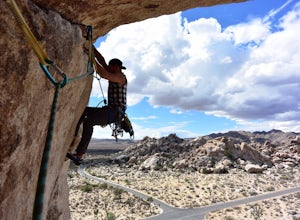
Rock Climb Locomotion in Joshua Tree National Park
5.0Locomotion is a great spot to set up for the day and enjoy the world class climbing that Joshua Tree has to offer. Camp at the nearby and coveted Hidden Valley Campground and you'll be within walking distance to Locomotion and a dozen other quality climbing spots. Joshua Tree really is a camping/...Read more -
Twentynine Palms, California
Climb at Intersection Rock in Joshua Tree
Intersection Rock is located in the Hidden Valley Campground with lots of parking!Overhang bypass route5.72 PitchesStandard Trad RackIntersection Rock has many classic routes- I found right ski track and overhang bypass to be 2 of my favorite routes in j tree.Start left of the flake in a crack, t...Read more -
Twentynine Palms, California
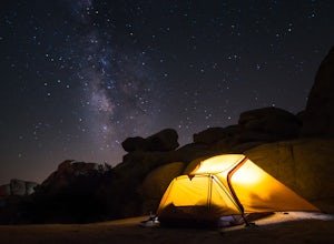
Camp at Hidden Valley in Joshua Tree
4.8Joshua Tree National Park is known for its world class rock climbing, out of this world landscapes, and some of the darkest skies around. Having a base camp inside of the park is incredibly important as it's quite massive and I found that Hidden Valley Campground is strategically placed smack dab...Read more -
Riverside County, California
Camp at Ryan Campground in Joshua Tree NP
5.0The Ryan Campground is but one of many beautiful campgrounds in Joshua Tree National Park. It is located just south of the Hidden Valley use area. There are 31 sites as well as a horse camp. This campground does not have water, but does have pit toilets.For weekend trips into Joshua Tree, it is o...Read more -
Twentynine Palms, California
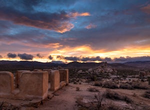
Ryan Ranch
0.75 mi / 56 ft gainIf you're in Joshua Tree, this is a great spot for sunset. A short, maybe 1/2 mile hike to the old ranch from the parking lot. We stayed at Ryan Campground and just walked in from there, about the same distance. Make sure to bring your camera, especially if there are spotty clouds in the sky a...Read more -
Twentynine Palms, California
Boy Scout's Trail in Joshua Tree
4.516.12 mi / 1539 ft gainThe Boy Scout trail connects the main part of the National Park to the outer rim campground, Indian Cove Campground. All backcountry overnight trips must be registered at a registration board (free, self-registration). Start this trip at the registration board located in either Indian Cove Campgr...Read more -
Forest Falls, California
Vivian Creek Trail to San Gorgonio Peak
17.83 mi / 5627 ft gainVivian Creek Trail to San Gorgonio Peak is an out-and-back trail that takes you by a waterfall located near Forest Falls, California.Read more -
Angelus Oaks, California
South Fork to Dollar Lake Trail
11.3 mi / 449 ft gainSouth Fork to Dollar Lake Trail is an out-and-back trail that takes you by a lake located near Banning, California.Read more -
Riverside County, California
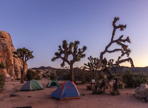
Camp at Joshua Tree's Jumbo Rocks
4.8Set your tent up next to a wall of tall boulders. This campground can offer a little shade, which is key especially during the warmer months. At the campground, there are 124 first-come, first-serve sites for $10 per night. Each campsite comes available with a picnic table and fire ring. The camp...Read more -
Mountain Center, California
Cactus Spring Trail
31.73 mi / 6407 ft gainCactus Spring Trail is an out-and-back trail where you may see wildflowers located near Mountain Center, California.Read more -
Twentynine Palms, California
Arch Rock Nature Trail
4.31.24 mi / 92 ft gainThis is a rock formation very popular with young crowds at Joshua Tree. The views from this hike are spectacular. If you hike this trail at sunset, the gorgeous colors of the ski are reflected onto the rocks. There is a plaque along the trail detailing rock formations and facts about the parks ...Read more

