Marin County, California
Looking for the best hiking in Marin County? We've got you covered with the top trails, trips, hiking, backpacking, camping and more around Marin County. The detailed guides, photos, and reviews are all submitted by the Outbound community.
Top Hiking Spots in and near Marin County
-
San Francisco, California
Mount Davidson
4.51.03 mi / 299 ft gainMount Davidson Park is located in the southwestern part of the city nestled between Diamond Heights and Portola Dr. The climb isn't too difficult, but to reach the top of the 928ft summit, you should wear close-toed shoes and be ready for some loose gravel or mud if it's been raining. The hike is...Read more -
San Francisco, California
Fort Funston Trail
4.71.81 mi / 253 ft gainFort Funston is an SF gem I discovered when looking for a dog friendly hike near the city. Located west of Lake Merced, you'll find a gorgeous Northern California beach oasis where you and your dog can run wild and free :). Parking is located at the top of the park where you'll descend a steep se...Read more -
San Francisco, California
Glen Canyon Park Trail
5.01.76 mi / 394 ft gainGlen Canyon Park Trail is a loop most commonly used for running or hiking in the southwestern side of San Francisco, California. Parking for the loop is street parking, so be sure to take any valuables out of the car with you. Note: There are restrooms available at the Glen Canyon Recreation Ce...Read more -
Sonoma County, California
Red Hill and Pomo Canyon Loop
4.84.73 mi / 981 ft gainPark in the Shell Beach parking lot, north of Bodega Bay proper but just south of Goat Rock State Beach on Highway 1. Cross the road to pick up the Dr. David C. Joseph Memorial Trail heading up away from the ocean. Follow the trail, staying right toward Red Hill. (The trail forks off down Pomo Ca...Read more -
Monte Rio, California
Islands in the Sky Vista Loop
4.03.83 mi / 883 ft gainThe Islands in the Sky Vista Loop in Monte Rio, California, is a moderately challenging hiking trail. Spanning approximately 3.83 miles, the loop offers a variety of terrain, including forested areas, open meadows, and rocky outcrops. The trail is well-marked and maintained, making it suitable fo...Read more -
Kensington, California
Tilden Little Farm
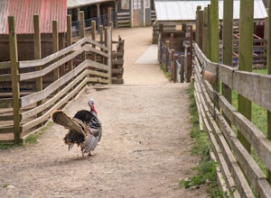
4.0First make sure to stop at the store and stock up on fresh lettuce and celery for the animals. Your kids (or just the kid in you) will love to feed them! Note that they're only allowed to eat lettuce and celery, so don't try to feed them your own snacks or get creative. ;) If you want to make it...Read more -
San Francisco, California
Lake Merced Loop
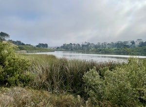
4.74.53 mi / 180 ft gainLake Merced Loop is a loop trail in the southwestern part of San Francisco. This trail is used for running and walking. You'll see plenty of people getting exercise or taking their dog for a stroll. There are also benches and tables around the loop. The lake itself is fresh water and is used for...Read more -
Santa Rosa, California
Gunsight Rock via Hood Mountain Trail
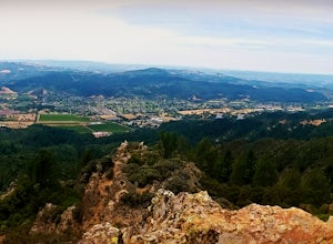
5.07.91 mi / 2372 ft gainHike to Gunsight Rock through Hood Mountain Regional Park to get a view overlooking Sonoma and Napa Valley. In order to get to the trailhead take Highway 12 to Los Alamos Rd, the road will then turn into Timberline Dr, this will take you to the trailhead. There is a parking fee of $8. From the p...Read more -
San Francisco, California
Bernal Heights Park
4.70.95 mi / 128 ft gainBernal Heights Park is an excellent week night adventure for those who need an escape from the city. Sit atop this small, grassy peak in peace and look out over the San Francisco skyline. Park on the street bordering the park and follow a pathway that leads up to the top. You will be instantly g...Read more -
Berkeley, California
Hidden Waterfall in Codornices Park
4.00.5 miPark along the street in front of Codornices Park in Berkeley. Follow the stream to the left of the playground. Take the path up the hill to the right (don't head over the bridge on the left). Keep walking up multiple concrete stairs. After the first flight of stairs you'll see a path on the left...Read more -
Larkfield-Wikiup, California
Creekside Trail to Canyon Trail to Ridge Trail Loop
4.04.46 mi / 850 ft gainCreekside Trail to Canyon Trail to Ridge Trail Loop is a loop trail that takes you through a nice forest located near Santa Rosa, California.Read more -
Berkeley, California
Seaview and Big Springs Loop
4.54.28 mi / 1007 ft gainThe trail is dog and horse friendly, and many trail loops make Tilden Regional Park fun for families and those of any skill level. The Seaview and Big Springs Trail loop is typically used by avid hikers, trail runners, or mountain bikers. The first half of the trail is exposed to the sun and rock...Read more -
Jenner, California
Bouldering at Sunset Boulders
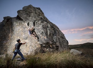
5.00.6 miYou can see the boulders off the left side of the road. Couple of different pullouts you can park at to start your approach. It’s about half a mile from the road all downhill. It’s easy going when you’re on your way, but kind of a pain after you’re whooped from climbing. Bouldering, high balls, ...Read more -
Berkeley, California
Wildcat Peak via Nimitz Way
4.74.16 mi / 459 ft gainTilden Park is a beautiful recreational area with scenic hiking trails, a swimming lake, small animal farm, a steam train and botanical gardens. The versatility of this park makes it very family and kid friendly, and those who are looking for a moderate hike within the park have almost forty mile...Read more -
Orinda, California
Wildcat Peak Loop
4.05.89 mi / 1050 ft gainFrom Inspiration Point, head toward Nimitz gate. Once you pass through the gate, keep an eye out for Curran Trailhead; this is the trail you'll be starting on. After about 1/8 of a mile, you'll reach a junction with the Meadows Canyon Trail. Turn right onto this trail to continue the loop. This p...Read more -
Napa, California
Lake Marie Road, Marie Creek, Buckeye Trail Loop
3.55.8 mi / 961 ft gainEnter the parking lot just off of Hwy 221. Plan to pay a $5 entrance fee at the kiosk. The trail head begins at the edge of the parking lot where you'll soon be passing by the Martha Walker Native Habitat Garden on your right. Veer left to continue along Lake Marie Road where you'll enter the blu...Read more

