Moss Landing, California
Looking for the best chillin in Moss Landing? We've got you covered with the top trails, trips, hiking, backpacking, camping and more around Moss Landing. The detailed guides, photos, and reviews are all submitted by the Outbound community.
Top Chillin Spots in and near Moss Landing
-
Carmel-by-the-Sea, California
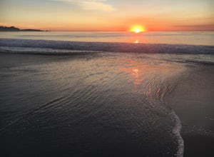
Catch a Sunset at Carmel Beach
4.7It’s a dream of mine to live in Carmel-by-the-Sea. You might recognize Carmel because Clint Eastwood was the mayor from 1986 to 1988. An idiosyncrasy you may not know about Carmel is the fact that there are no street addresses on any house in Carmel. Everyone gets their mail at the post office...Read more -
Carmel-by-the-Sea, California
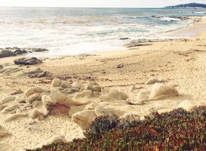
Hike along the Carmel River Beach Trail
1 mi / 100 ft gainKnown as "Ribera Beach" by locals, this stretch of land nestled between Carmel River State Beach and Monastery Beach is not to be missed! The trails are easy to get to and can be accessed by 4 locations. The first entrance is on Highway 1 at the Bay School (between Ribera Road and Monastery Beach...Read more -
Carmel-by-the-Sea, California
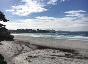
Surf Carmel River State Beach
5.0Carmel State beach is located in Monterey county. It's your typical beach break with both lefts and rights. One thing that is super unique about Carmel is that the water is some of the clearest in all of California. Depending on the sandbars, this can be a really fun wave! It's also a great p...Read more -
Carmel-by-the-Sea, California
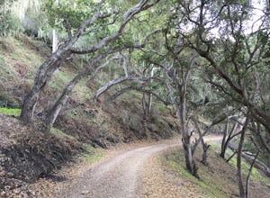
Hike to the Top of Inspiration Point
5.01.3 mi / 850 ft gainThis magnificent trail was recently converted into part of the Monterey Regional Parks System. Walk through pastures of cows, through coast oaks, up a steep incline with vast views of Carmel Valley, Carmel and the Pacific Ocean up to the top where a picnic table awaits you at Inspiration Point. T...Read more -
Santa Cruz, California
Hike the Rincon Fire Trail
5.01 mi / 300 ft gainThe Rincon Fire Trail Starts at a small dirt parking lot next to CA-9 and traverses down the mountain to the San Lorenzo River Connecting with the Pipeline Trail. The trail can be a simple one of a mile out and back or up to 5 miles depending on your preference. The elevation will change by about...Read more -
Carmel, California
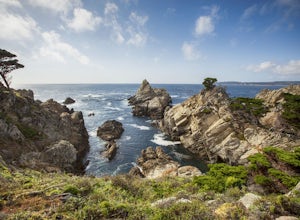
Point Lobos Natural Preserve Loop
4.77.14 mi / 640 ft gainPoint Lobos contains headlands, coves and rolling meadows, and its offshore area forms one of the richest underwater habitats in the world, popular with divers. Wildlife includes seals, sea lions, sea otters, migrating gray whales (from December to May), and thousands of seabirds, who also make t...Read more -
Felton, California
Redwood Grove Loop
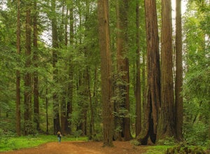
4.00.93 mi / 144 ft gainHenry Cowell Redwoods State Park is located just a few miles north of the city of Santa Cruz, along Highway 9. The park is home to an array of hiking and biking trails, but the crown jewel of the park is the Redwood Grove Loop Trail, which is only a 1/4 mile in from the park's entrance. Many peo...Read more -
Felton, California
Tree Climb Mount Hermon
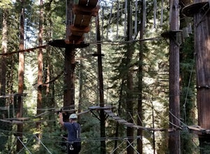
5.0Climbing an aerial obstacle course through the redwoods of Mount Hermon is a great way to experience the thrill of climbing and being in the trees. See what it's like to scurry through the trees like a squirrel. This unique vantage point offers amazing views of the redwoods. There are many aeri...Read more -
Santa Cruz, California
Explore Panther Beach
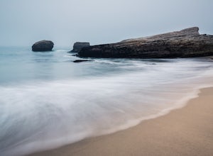
4.5Panther Beach's white sand, clear water, and interesting rock formations make it one of the most stunning beaches along this stretch of CA1. But this is a hidden gem for a reason - there are no signs along CA1 for Panther Beach. You need to keep you eyes peeled for cars parked along the side of t...Read more -
Carmel-by-the-Sea, California
Soberanes Point
1.82 mi / 295 ft gainGarrapata State Park is located along California's Highway 1, roughly 5 miles south of Carmel, California. The park is entirely free with multiple pull-outs and serves as one of the first grand views travelers encounter while heading south from the Monterey Peninsula to southern California. Garra...Read more -
Carmel-by-the-Sea, California
Secluded Beach Near Soberanes Point
5.00.2 mi / 40 ft gainWhen we stumbled upon this beach we were thrilled to have such great views with no crowds. There is plenty of room to lay out in the sun, you can swim in the ocean to cool off, and the beach is surrounded by beautiful landscape. If you decide to swim be very careful as the waves and currents ca...Read more -
Davenport, California
Beach Picnic at Shark Fin Cove
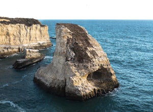
4.3Shark Fin Cove is a large rock formation in an inlet off Highway 1 in Northern California. It is located 1 mile south of Davenport and 10 miles north of Santa Cruz. There is a sizable parking lot located on the side of Highway 1 to park in. Walk down the path left of the parking lot and cross the...Read more -
Carmel-by-the-Sea, California
Calla Lily Valley
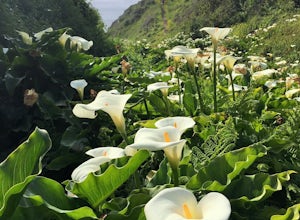
4.50.31 mi / 46 ft gainParking for Calla Lily Valley is available along the dirt pullout at Gate 19 for Garrapata State Park, near mile-marker 63. Signs are small and difficult to see. Follow the path between the guide wires and take the right fork, heading north to the bluff overlooking the beach. Continue north and f...Read more -
Carmel-by-the-Sea, California
Garrapata Beach
4.6A wonderful roadside beach and state park. Easy parking on both sides of Hwy. 1 with short access trails. There are almost 2 miles of coastline trails heading north and south from the parking area. The north end of the beach is great for swimming and surfing when the sea is calm and the south ...Read more -
San Jose, California
Hike the Quicksilver Trail
4.35.1 mi / 915 ft gainThe trails are well maintained and offer good visibility. The trail can be muddy after it rains, and does not have much shade (so bring extra water in the summer). Dogs are allowed on this trail but must be kept on leash. Keep your eyes peeled for wildlife - this trail is frequently used for bir...Read more -
Davenport, California
Hike around Greyhound Beach and Climb Greyhound Rock
0.7 mi / 0 ft gainThe trailhead is at the Greyhound Rock State Marine Conservation Area which is directly off Highway 1. There is a large paved parking lot with a good amount of trees so finding a shady parking spot isn't that difficult (if that's important to you). The parking lot is located on the beach cliffs ...Read more

