Moss Landing, California
Looking for the best chillin in Moss Landing? We've got you covered with the top trails, trips, hiking, backpacking, camping and more around Moss Landing. The detailed guides, photos, and reviews are all submitted by the Outbound community.
Top Chillin Spots in and near Moss Landing
-
Soledad, California
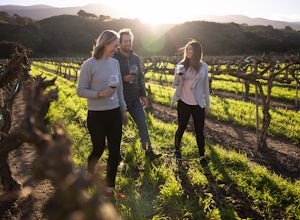
Explore Dreamy Wrath Wines Vineyards
Just a short drive from some of the best trails and rock climbing at Pinnacles National Park, Wrath Wines' Soledad winery is a great way to wine'd down after a day of adventure. What makes this grape growing region unique is the constant marine layer fog and wind stress out the grapes (that’s a ...Read more -
Pescadero, California
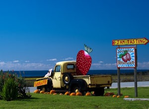
Pick Berries at Swanton's Berry Farm
Take a spectacularly scenic drive or bike ride out to this quaint coastal berry farm. Look out onto the shimmering ocean while you pick the ripest and sweetest berries yourself. Head inside their shop to enjoy pre-made jams, pies, chocolate covered strawberries, and so much more. While you're ins...Read more -
Big Sur, California
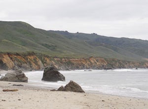
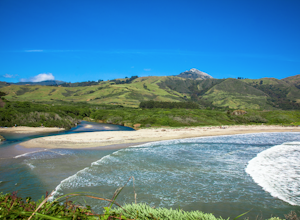
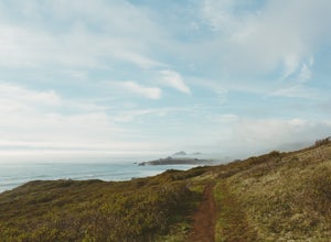
Hike the Creamery Meadow Trail to Molera Beach
2 miEntrance to the parking lot is $10 per car, and once you get in be sure to use the restroom before you head for the trail, since you will likely spend a good amount of time out there.Look for the sign that says Creamery Meadow Trail. You'll know it's right when the very first thing you'll need to...Read more -
Big Sur, California
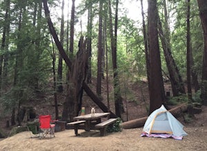
Camp at Andrew Molera State Park
4.51 miAndrew Molera is about 27 miles south of Carmel and one of the first State Parks you'll hit heading down the coast. There will be signs for the Park as you approach and the main parking lot is only a couple hundred yards from Hwy 1. There are a number of hiking trails and activities to do around ...Read more -
Big Sur, California
Hike the Andrew Molera State Park Loop
4.58.8 mi / 1100 ft gainThe loops starts at the Andrew Molera State Park parking lot (4.5 miles north of the entrance to Pfeiffer Big Sur State Park along Highway 1). Begin by crossing the Big Sur River using the seasonal bridge. If the bridge has been removed, you will need to cross the water by foot. Usually the water...Read more -
Big Sur, California
Camp at Ventana Campground, Big Sur
4.6This campground is a gem when it comes to Big Sur camping, book here. Each site includes a parking spot, a campfire ring with grill, a picnic table, and plenty of space for 1-2 tents. There are multiple immaculate restroom facilities with showers, clean trash enclosures (emptied and sanitized dai...Read more -
Mount Hamilton, California
Stargaze at Lick Observatory
3.8Hop on Road 130 heading out of San Jose and follow the winding two lane road up, up, up to to the top of Mt. Hamilton and the Lick Observatory. There are lots of deer, wild turkey, and pigs in the area. If you are lucky you will get to see a herd of deer grazing in a meadow. But be careful that y...Read more -
Big Sur, California
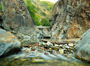
Explore the Big Sur River Gorge
4.71 miIf you are in the Big Sur area during the summer, exploring the Big Sur River Gorge is a must! The gorge is located in Pfeiffer Big Sur State Park, and your closest parking will be day use parking lot 3. The trailhead to the gorge can be found at the northeast end of Pfeiffer Big Sur State Park C...Read more -
Big Sur, California
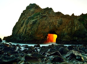
Pfeiffer Beach
4.00.81 mi / 75 ft gainPfeiffer Beach located in Big Sur may truly be one of the most awesome beaches in California...if you can find it. I lived within 40 miles of this beach for over 20 years and just discovered it recently. This beach is located on an unmarked road called Sycamore Canyon Road. On Highway 1, this roa...Read more -
Pescadero, United States
Relax at Costanoa Lodge
3.0Looking for a quick escape from the city, but sleeping on the ground isn’t really your thing? Look no further than Costanoa Lodge in Pescadero, an upscale "glamping" experience just an hour south of San Francisco with tons of hiking options. This is a really fun option for anyone who enjoys being...Read more -
Paicines, California
Hike the Old Pinnacle Trail in Pinnacles National Park
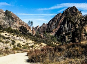
5.09 mi / 2000 ft gainStart at the Old Pinnacles Trailhead and embark on a roughly 9 mile long adventure surrounded by amazing geological rock formations and natural landscapes. Bask in the peace of nature... meander through meadows alongside the West Fork of Chalone Creek and into Old Pinnacles. Continuing on at the ...Read more -
Paicines, California
Hike to Bear Gulch Reservoir in Pinnacles National Park
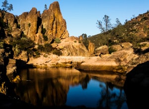
3.51.5 mi / 275 ft gainStart the hike from the Bear Gulch Trail Parking lot. While pulling in, the trail head is on the left. The Trail is marked Reservoir, Caves, and High Peaks. Continue down the trail until faced with a junction. Make sure to admire rock formations while hiking!At the junction take the Bear Gulc...Read more -
Pescadero, California
Hike the Canyon Rim Route in Butano State Park
5.011.7 miLocated deep within the Santa Cruz Mountains, Butano State Park boasts a large redwood canyon with many miles of hiking trails as well as campsites. This state park is one of the quietest and least visited parks on the peninsula making a perfect place to escape the hustle of the Bay Area Butano S...Read more -
Pescadero, California
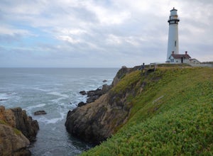
Explore the Pidgeon Point Lighthouse
5.0Pidgeon Point Lighthouse is conveniently located just 50 miles south of San Francisco. Constructed in 1872 and standing at 115 feet, it is among the tallest lighthouse in America.Part of the state park system, it is surprisingly secluded. Numerous parking space were available in the lot with hand...Read more -
Pescadero, California
Exploring Big Sur to Pigeon Point
We started off in Big Sur and took as many pull-off viewpoints as possible between Big Sur and the final destination, Pigeon Point Lighthouse. The weather was foggy in some spots but would open up to reveal the vast Pacific Ocean and sun in others. The weather was mild for us but we're familiar w...Read more -
Loma Mar, California
Bike Pescadero Creek County Park
5.012.5 mi / 1350 ft gainPescadero Creek County Park and the connected Sam McDonald and Memorial Park are located deep in the Santa Cruz Mountains holding a vast network of secluded trails. From biking to backpacking, this area is a perfect place for a day or weekend adventure. This area also has the added bonus having r...Read more

