Yosemite National Park, California
Looking for the best fishing in Yosemite National Park? We've got you covered with the top trails, trips, hiking, backpacking, camping and more around Yosemite National Park. The detailed guides, photos, and reviews are all submitted by the Outbound community.
Top Fishing Spots in and near Yosemite National Park
-
Pinecrest, California
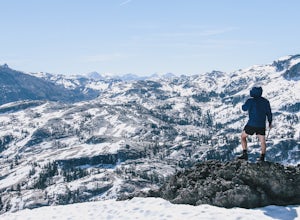
Lower & Upper Relief Valleys and the East Flange Rock
21.6 mi / 3600 ft gainThe Lower and Upper Relief Valleys are beautiful alpine valleys cut by Relief Creek in the heart of the Emigrant Wilderness and are an excellent alternative to Yosemite National Park if you're looking for solitude and no crowds. The East Flange Rock juts prominently over Lower Relief and is an ea...Read more -
Pinecrest, California
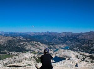
Climb Granite Dome via Lower & Upper Lewis Lakes
25 mi / 5000 ft gainGranite Dome is the signature peak in the Emigrant Wilderness, with fantastic views north to the Carson-Iceberg Wilderness, east to the Hoover Wilderness (Sawtooth Ridge), and south to Yosemite including, on a clear day, Cathedral Peak and the Cathedral Range.There are several routes up Granite D...Read more -
Pinecrest, California
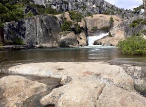
Hike to Cleo's Bath
4.56.5 mi / 1263 ft gainThis 6+ mile hike is located at Pinecrest Lake in the Stanislaus National Forest located in Tuolumne County and features a lake, river, forest, waterfall, and swimming hole. It is accessible year-round, in winter there will be snow, and the hike is dog friendly except between May 15th-September ...Read more -
Mammoth Lakes, California
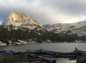
Crystal Lake via Mammoth Crest Trail
4.82.5 mi / 1257 ft gainIn Lake George, park along Lake George Road and walk towards Crystal Crag Trailhead sign to begin the hike. If you couldn't find it, you can head to the boat rentals by the lake and you will see a sign saying trailhead is behind you. The trail is well maintained and it is really easy to follow. ...Read more -
Mammoth Lakes, California
Lake George Trail
5.01.34 mi / 89 ft gainThe Lake George Loop is perfect for exploring the shoreline and fishing near the top of the Mammoth Lakes wilderness. The lake can get quite cold due to the elevation and surrounding mountains not allowing the sun to hit it for an extended time, but if you go during mid-day you should have a refr...Read more -
Pinecrest, California
Camp at Baker Campground
5.0/ 6224 ft gainBaker Campground is a first come, first serve campground. Each site is equipped with a fire ring, picnic table, and bear boxes. The cost for a single family site is $20 per night and a double family site is $40 per night. The campground provides bathrooms and potable water. The campground is typi...Read more -
Crowley Lake, California
Emerald Lake
4.01.76 mi / 417 ft gainEmerald lake is a relatively short 1.7 mile out-and-back hike. There is ample parking at the parking lot and trailhead. There is also overflow parking at the upper lot for Duck Lake and Skelton Lake. The trail has a decent amount of uphill, but you should arrive shortly (<30 mins) at your de...Read more -
Mammoth Lakes, California
Skelton Lake Trail
5.03.2 mi / 804 ft gainThe hike to Skelton Lake in Mammoth Lakes, CA starts off at the Duck Lake Pass trailhead just past Lake Mary. The hike starts off with quite a few switchbacks as you climb through the John Muir Wilderness. About one mile up the trail, you'll see an option to veer off to Arrowhead Lake. Continue o...Read more -
Mammoth Lakes, California
Heart Lake
5.02.11 mi / 500 ft gainYou will see a couple of trailheads starting by parking at the Coldwater Creek Campground parking lot. This one is specifically marked Heart Lake. There will be a couple of forks in the trail, but if you stay right and on the more obvious path, you will be up to Heart Lake in no time. (Going left...Read more -
Mammoth Lakes, California
Sherwin Lakes Trail
5.04.42 mi / 850 ft gainJust outside the town of Mammoth Lakes, CA is the Sherwin Lakes Trailhead. An easy 10 minute drive down some dirt roads will get you to the dirt parking lot where you can safely leave your vehicle and begin your fairly easy 2.5 mile hike to Sherwin Lakes. (Valentine Lake is not much further beyon...Read more -
Mammoth Lakes, California
Relax at Laurel Lakes
0 mi / 0 ft gainThe Laurel Lakes trip, just south of Mammoth Lakes, is a worthwhile day trip that can easily be made into a hiking/camping trip.To get there, make your way to Laurel Lakes Rd via Sherwin Creek Rd either from Old Mammoth Rd or from the 395. The road to the lakes is not too bad initially but you'll...Read more -
Mono County, California
Hot Creek Geological Site
4.8Hot Creek Geological Site is a must see when you are in the Mammoth Lakes area. It is just West of Highway 395 and only minutes form the town of Mammoth Lakes, which has great food, a ski resort, world class mountain biking, and a brewery. Bishop is about 40 minutes South which is well known for ...Read more -
Mono County, California
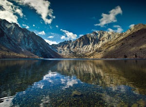
Fishing at Convict Lake
4.3Many people come to Convict lake for the fishing. Convict is located only 2 miles off the main highway in the Eastern Sierras. The lake is clear and pristine with beautiful views. There are various ways to fish here; some rent out boats or bring their own and cruise around the lake fishing. O...Read more -
Mammoth Lakes, California
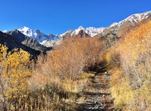
Hike to Steelhead Lake through McGee Creek Canyon
5.011.5 mi / 2510 ft gainWhether you’re looking for a dayhike near Mammoth Lakes, planning a backpacking trip along the JMT, or have a few extra hours to spare on a cross-California road trip, this is an easy and popular trail choice for killer mountain views.I was delighted to discover that this is one of the most easil...Read more -
Coleville, California
Hike to Tamarack Lake, Carson-Iceberg Wilderness
4.010 mi / 2000 ft gainThe trailhead begins at the end of Golden Gate Rd in Coleville, Ca on highway 396. There are very limited signs, so maps are necessary! Depending on how fast of a hiker you are, you can most likely reach the lake in 6 hours with minimal breaks. If you cannot start in the morning, there are beauti...Read more -
Lakeshore, California
Hike to George Lake
9.2 mi / 1050 ft gainThe hike to George Lake starts out about 4 miles after you turn off 168 onto Kaiser Pass Rd. You'll want to park at the parking lot right before Badger Flat Campground. The parking lot is easy to notice and it is located on the right hand side of the road, two pit toilets and bear lockers are loc...Read more

