Boulder, Colorado
Looking for the best hiking in Boulder? We've got you covered with the top trails, trips, hiking, backpacking, camping and more around Boulder. The detailed guides, photos, and reviews are all submitted by the Outbound community.
Top Hiking Spots in and near Boulder
-
Golden, Colorado
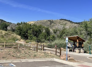
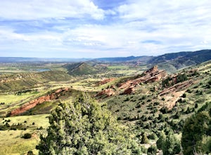
Argos Trail & Magic Mountain Trail Loop
5.01.91 mi / 397 ft gainArgos Trail & Magic Mountain Trail Loop is a scenic loop that's great for stretching your legs in Apex Park near Golden Colorado. This trail is fun for the family (baby carrier needed for families with newborns) and for your pup (on-leash). NOTEOdd days of the month (1st, 3rd, 5th, etc.) are...Read more -
Nederland, Colorado
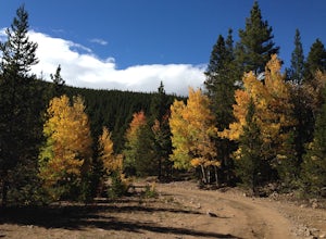
Explore the Historic Railroad Route up Rollins Pass
5.0Rollin's Pass Road is a dirt road that follows an old railroad route from the historic town of Tolland, over the Continental Divide, and into Fraser. The road no longer allows you to drive over the summit, due to a partial tunnel collapse, but the road still takes you to within a short hike of th...Read more -
1398 Longs Peak Road, Colorado
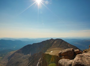
Storm Peak and Mount Lady Washington
4.512.57 mi / 5312 ft gainThis adventure began at the Longs Peak trailhead in southeastern Rocky Mountain National Park, Colorado. I followed the Longs Peak trail for 6 miles to the Boulderfield backcountry camping area. This is a fairly steep on-trail climb of 3,360 feet. After setting up camp at 12,760 feet, my partner...Read more -
Nederland, Colorado
Upper Forest Lakes Trail
7.86 mi / 1778 ft gainUpper Forest Lakes Trail is an out-and-back trail that takes you by a river located near Rollinsville, Colorado.Read more -
Estes Park, Colorado
Longs Peak
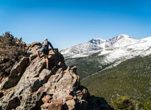
5.013.3 mi / 5100 ft gainFor the most part, this hike is very straightforward, so I'll essentially skip over the first 5.5 or so miles of the hike, but, in case you don't know: Start (very early so you get a parking spot) from the trailhead right next to the parking lot (the road to it is paved - seriously this mountain...Read more -
Estes Park, Colorado
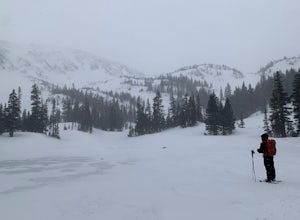
Peacock Pool
7.9 mi / 2438 ft gainThe peacock pool is a cool little tarn below the outlet to Chasm Lake. Please note that this adventure is best done in the winter/spring when snow is present to prevent erosion in the sensitive area. That is how the description will be written, assuming winter conditions. The approach is the sa...Read more -
Estes Park, Colorado
Boulderfield Campground via Longs Peak Trail
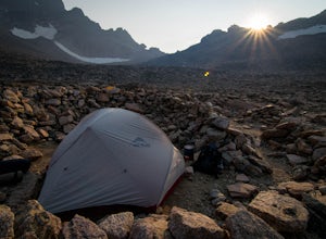
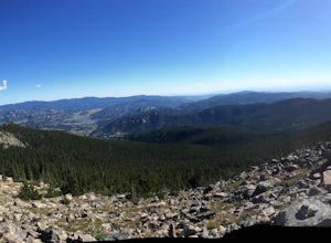
11.39 mi / 3337 ft gainBoulder Field is a high alpine backcountry site on Longs Peak, and is a popular camp for backpackers attempting to summit Longs Peak via the Keyhole route. At an impressive elevation of 12,760 feet, Boulder Field is a vast wasteland of rocks that sits 500 feet below the famous Keyhole feature, an...Read more -
Estes Park, Colorado
Chasm Lake via Longs Peak Trailhead
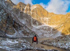
4.78.01 mi / 2425 ft gainThe 4-mile trail climbs around 2500ft from the Longs Peak trailhead and starts by winding through dense forest. In the morning darkness, trudging through thick trees isn’t the most exciting, but when you finally climb out above treeline, the massive profile of Longs and the slowly growing light o...Read more -
Nederland, Colorado
3 Crater Lakes via South Boulder Creek
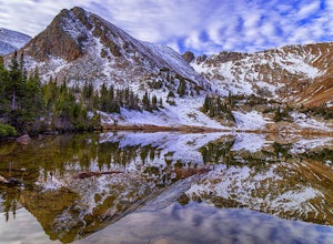
5.06.92 mi / 1804 ft gainAfter turning on to Co. 16 (Tolland Rd.) from 119 at Rollinsville, drive about 8 miles down the dirt road along South Boulder Creek. The road will dead end at Moffat Tunnel where you'll find ample parking in a gravel lot with restrooms. You'll begin your hike along sweeping meadows until you ent...Read more -
Nederland, Colorado
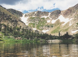
Heart and Rogers Peak Lakes
4.88.62 mi / 2113 ft gainThe hike begins at the East Portal Trailhead outside Rollinsville. Start hiking along the South Boulder trail to the right (north) of the very obvious Moffat Rail tunnel. The trail begins with moderate grades past the Forest Lakes cutoff just 1.25 miles from the trailhead. Continue hiking straigh...Read more -
Golden, Colorado
Hike the Morrison Slide in Matthews / Winters Park
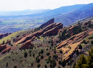
4.24.7 mi / 600 ft gainStart at the trailhead located at 1103 County Hwy. 93 and enjoy a little warm up time by the creek that winds past wild plum, chokecherry, and willow trees. Matthews-Winters Park is filled with red rock formations that make for amazing scenery. It also has the remnants of a historic cemetery. The...Read more -
Golden, Colorado
Matthews/Winters Park Loop
4.04.99 mi / 827 ft gainMatthews/Winters Park, which is part of the Jefferson County Open Space system, is proof that you do not have to go far from the city to enjoy the mountains. Nestled in the foothills between Golden and Morrison just off I-70 and C-470, Matthews/Winters is easy to access from Denver and any of the...Read more -
Estes Park, Colorado
Twin Sisters Peak
5.07.48 mi / 2470 ft gainThe trailhead starts close to 9,000 ft elevation. It continues at a gradual slope through the forest for a long way. The trail does not exit the tree line until close to the top, where there is a boulder field, of sorts (slightly over 11,000 ft). Don't worry, there is a nice trail all the way to ...Read more -
Estes Park, Colorado
Estes Cone
4.08.22 mi / 2275 ft gainThe trail begins on the left on a park service road before reaching a junction with the Storm Pass Trail just past .2 miles. Follow the trail as it enters the forest and continue past the private property signs and over a footbridge. Past the bridge the trail climbs more steadily for just under 2...Read more -
Lyons, Colorado
Hike the Kruger Rock Trail
4 mi / 1000 ft gainCutting through the forested hills surrounding Estes Valley, the Kruger Rock Trail is a well-marked 4 mile loop to the top of Kruger Rock. The trail begins in Hermit Park Open Space, located just a few miles southeast of Estes Park and is a moderate hike with around 1000 feet of elevation gain. C...Read more -
Lakewood, Colorado
Green Mountain Trail Loop
4.16.37 mi / 1060 ft gainGreen Mountain Trail is a 6.5-mile loop and has a challenging ascent to the park's highest point. Because the mountain is one of the first to rise out of the plains, you get unique views of where the mountains meet the prairie and fascinating geology. The summit, at 6,857' offers stunning views o...Read more

