Montrose County, Colorado
Looking for the best mountain biking in Montrose County? We've got you covered with the top trails, trips, hiking, backpacking, camping and more around Montrose County. The detailed guides, photos, and reviews are all submitted by the Outbound community.
Top Mountain Biking Spots in and near Montrose County
-
Gunnison, Colorado
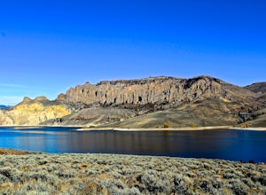
Hike the Dillon Pinnacles Trail
4 mi / 300 ft gainThe Dillon Pinnacles are a geologic phenomenon of southern Colorado. Volcanic eruptions formed the breccia rock into towering spires above the Sapinero Basin of Blue Mesa Reservoir. This packed dirt trail starts at about 7500 feet and climbs to a max elevation of 7800 feet. The four mile out-and-...Read more -
Telluride, Colorado
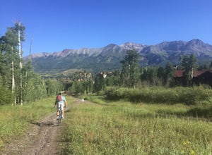
Fat Bike In Telluride
5.0There are great fat bike trails leaving directly from the town of Telluride, CO with picture-perfect views of the San Juan Mountains. You can leave directly from where the main gondola takes off and go towards Bridal Veil, to the Valley Floor, or combine both for a perfect day of adventure. If yo...Read more -
Mountain Village, Colorado
Mountain Bike Village Trail
Take the Gondola from either Telluride or Mountain Village and get off at mid station. Walk up the path, pass the entrance to the bike park, and continue up the gravel road until you come upon signs for the Village Trail. It will start on the maintenance road but will quickly become a narrow path...Read more -
Telluride, Colorado
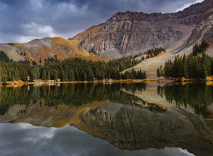
Alta Lakes Dispersed Camping
4.7Note: Camping is permitted around the lake. There are approximately 20 undeveloped campsites. For more information, head to the US Forest Service website. Camping Facilities20 campsites that are completely undevelopedCamping is permitted at only the designated campsitesPortable toilets are avail...Read more -
Silverton, Colorado
Explore Hurricane Pass and Lake Como
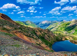
Spending much of the trek above tree line, Hurricane Pass is situated at 12,730 feet above sea level and offers up views of Poughkeepsie Gulch (a more extreme off-road trail) and sapphire blue mountain lakes, such as Lake Como. One of the most beautiful roads in the lower 48 states, Hurricane Pas...Read more -
Ophir, Colorado
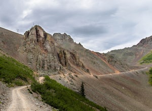
Drive Ophir Pass
4.58 mi / 2500 ft gainOphir Pass (el. 11,114’), officially known as Forest Service Road #630, is one of the easiest of the high alpine trails in the San Juan mountains, but still can provide trouble to the inexperienced or when bad weather is present, particularly on the western/Ophir downhill side. The pass and road ...Read more

