Olathe, Colorado
Top Spots in and near Olathe
-
Grand Junction, Colorado
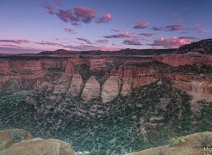
Photograph Colorado National Monument
4.2Driving through Colorado National Monument was very easy and gorgeous. Very scenic drive with many lookouts to stop at. Every lookout has a spot to park and you can just jump out and photograph the book cliffs and canyons. I stopped at almost all of the lookouts and they are all breathtaking. I d...Read more -
Telluride, Colorado
Hike the Jud Wiebe Trail
5.03.1 mi / 1300 ft gainThe Jud Wiebe can be accessed from two trailheads: 1) The top of North Aspen St (opposite direction of the Gondola) and across the bridge on the left (where this adventure starts) 2) North Oak St - hike up Tomboy Road and head to the left at the sign for the Jud Wiebe trail Street parking is ava...Read more -
Telluride, Colorado
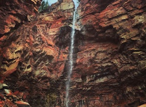
Hike to Cornet Creek Falls
4.0Only 5 minutes from the center of Telluride, Cornet Creek Falls is the perfect hike for those seeking a serene mountain escape without having to go far away from the center of all the action.From town, head up North Aspen Street towards the Jud Wiebe Trailhead. Once arrived, continue straight up ...Read more -
Telluride, Colorado
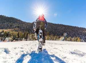
Fat Bike In Telluride
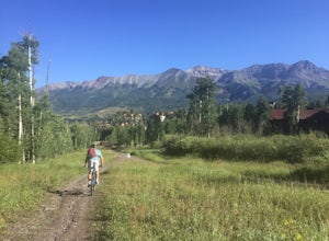
5.0There are great fat bike trails leaving directly from the town of Telluride, CO with picture-perfect views of the San Juan Mountains. You can leave directly from where the main gondola takes off and go towards Bridal Veil, to the Valley Floor, or combine both for a perfect day of adventure. If yo...Read more -
Telluride, Colorado
Hike to Bear Creek Falls in Telluride
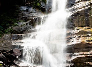
5.05 mi / 1000 ft gainThe trail begins at the south end of Pine Street in Telluride, and proceeds 2.5 miles up the Bear Creek Canyon trail with an elevation gain of about 1,000'.Be sure to stay to the left at the divide with the Wasatch Trail.At the waterfall there is a small use trail that contours up to the right an...Read more -
Mountain Village, Colorado
Mountain Bike Village Trail
Take the Gondola from either Telluride or Mountain Village and get off at mid station. Walk up the path, pass the entrance to the bike park, and continue up the gravel road until you come upon signs for the Village Trail. It will start on the maintenance road but will quickly become a narrow path...Read more -
Somerset, Colorado
Hike the Dyke to Dark Canyon Loop
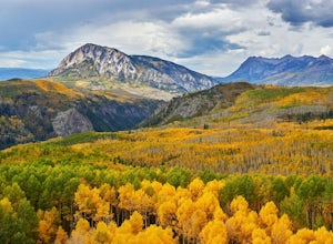
4.06.5 mi / 1700 ft gainKebler Pass near Crested Butte is a leaf peepers paradise considering that one of the largest groves of aspens in Colorado makes its home here. If you want those postcard views of rugged mountain peaks and vibrant aspens, then I recommend hiking the Dyke Trail to Dark Canyon loop. Put this on you...Read more -
Telluride, Colorado
Hike to Bridal Veil Falls in Telluride
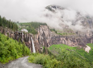
5.02.4 mi / 850 ft gainPark at the Pandora Mill just east of Telluride and lace up your footwear of choice. At 1.2 miles to the base of the falls with 850 feet of gain, this can make for a great thigh burning hike or run. The trail is a gravel road that eventually passes a gate to further trails up the Bridal Veil Ba...Read more -
Lake City, Colorado
Uncompahgre Peak (14,309')
5.07.3 mi / 2881 ft gainAt 14,309 feet, the summit of Uncompahgre Peak is the highest point in the entire San Juan range, but getting to it requires only good hiking skills, good physical shape, and a four-wheel-drive, high-clearance vehicle to get to the trailhead. From Lake City, head west along the Alpine Loop about...Read more -
Ophir, Colorado
"Iron Way" Telluride Via Ferrata
3.15 mi / 974 ft gainThe Via Ferrata is an incredible way to enjoy Telluride from above. If you and your group have rock climbing experience this will be right up your alley. If no experience rock climbing there are guided options with great shops from town that will help you along this route. Hike up to Bridal Veil...Read more -
Ouray, Colorado
Drive Engineer Pass
5.0This pass is closed December through May but when opened, does not fall short of views. I drove it on opening weekend and the snow was piled high all around (pictured above) but the views were just as amazing as driving it in late summer. Starting in Silverton, drive east on Colorado 2 through t...Read more -
Ridgway, Colorado
Running to Grizzly Bear Mine
Bear Creek Trail, which leads to Grizzly Mine, is located just 2 miles outside of Ouray, Colorado on Highway 550 immediately following the first tunnel. There's two parking lots, a large one and a small one, the trail leads from the small parking lot over the tunnel and highway. There are no bath...Read more -
Grand Junction, Colorado
Running Ute Canyon in Colorado National Monument
8.6 miUte Canyon Trail is a mostly undeveloped 4.3 mile trail (8.6 round trip) in Colorado National Monument that offers technical descents, route finding, water crossings, and gorgeous red rock walls. The trailhead is just a few miles off I-70 from the town of Fruita—it's well worth the trip. Remember...Read more -
Ridgway, Colorado
Explore Corckscrew Gulch
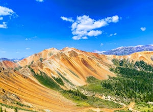
Corkscrew Gulch is named for the narrow and winding switchbacks that "corkscrewes" up Red Mountain Two. It is hard to miss this area of the San Juan Mountains, because the deep reds, oranges, and yellows blanket all three of the named "Red Mountains". The red color in the mountains is caused by o...Read more -
Placerville, Colorado
Hike Wilson Peak aka Coors Peak
4.0The mountain peak that turns blue when Coors and Coors Light bottles and cans are ice cold is real. No, it is not called Coors Peak. But it is in Colorado, where Coors was born. The snow-capped mountain in the Coors logo is really Wilson Peak near Telluride, Colorado.If you want to crack a Coo...Read more

