Mountainville, New York
Top Spots in and near Mountainville
-
Phoenicia, New York
Camp at Woodland Valley
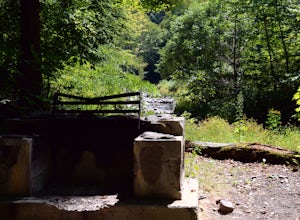
3.0If you are looking for a great campground up in the Catskill Mountains of New York then you definitely have to check out Woodland Valley Campgrounds. Located about 2 hours north of New York City, it is the perfect place to go to get off the grid. No service for about 30 minutes in any direction.T...Read more -
Big Indian, New York
Camp on Giant Ledge
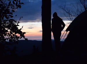
4.51.5 mi / 975 ft gainGiant Ledge is a great hike in the Catskills if you are looking for something short, with incredible views, and camping options. There are not many hikes with better views then this in the Catskills, so why not spend as much time as possible up there? There are a few camping spots you can grab w...Read more -
Big Indian, New York
Hike Giant Ledge
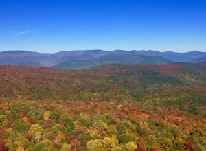
4.53.74 miThe trail starts across the street from the parking area you will see a sign. After a short walk in you will cross a foot bridge. At approximately 0.75 mile you will reach a junction. You will turn left toward Giant Ledge. The next half mile is fairly flat. At 1.5 miles you will reach a spur ...Read more -
Sharon, Connecticut
Hike the Pine Knob Loop, Housatonic Meadows SP
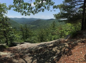
5.02.5 mi / 770 ft gainThe Pine Knob loop is a 2.5 mile loop trail that takes you through beautiful thick woods filled with vistas, wild flowers and tons of wild life. You will start your adventure at the Pine Knob Trail head where you will be able to a Connecticut Appalachian trail guide. Pine Knob is a blue blaze ...Read more -
New York, New York
Walk the George Washington Bridge at Sunset
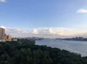
3.00.9 miJoin the thousands of people who cross the GWB each day, but do it by foot! This is an easy walk with beautiful views of the New York City skyline. You will begin seeing signs for the bridge bike path at Ft. Washington St. & E. 177th St., which you follow for a few blocks until you begin asce...Read more -
Lehman township, Pennsylvania
Hike to Hornbeck's Creek Waterfall
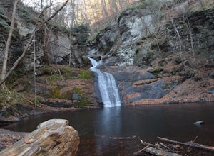
4.31.2 miGPS Coordinates: 41.187148,-74.885454Driving Directions: From 209, enter into the Delaware Water Gap and in between the 10 and 11 mile markers you will see a sign for Hornbecks Creek with a gravel road adjacent to it. Follow the road back until you reach the parking lot and the trail will be to t...Read more -
New York, New York
Brooklyn Bridge Walk
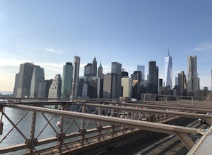
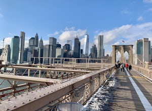
5.02.4 mi / 26 ft gainBrooklyn Bridge Walk is an out-and-back trail that takes you by a river located near New York City, New York.Read more -
Bridgeport, Connecticut
Stroll around Fayerweather Island
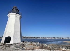
0.5 miParking is at the end of Barnum Road in the Seaside Park. Though the lighthouse grounds are accessible the tower itself is not open to the public. To access the island you must walk across the breakwater. Please use caution as it is uneven footing and at times can be slippery. From the isla...Read more -
New York, New York
Explore the South Street Seaport
5.0Get a feel for what New York was like in the 19th century at the Seaport! The Seaport boasts some of the oldest buildings and architecture in Manhattan, and the area continues to bustle today. The Seaport borders the Financial District and the East River - so there are lots of wonderful sights to...Read more -
Woodstock, New York
Sugarloaf Mountain via Blue Trail
6.54 mi / 2297 ft gainSugarloaf Mountain, is one the 35 highest peaks in New York's Catskills at 3806 ft. There are many ways to approach this peak, and this is an out-and-back hike via Mink Hollow. The parking area is located at the end of Milk Hollow Rd (42.10405386879072, -74.17148500019927). From here, get on the...Read more -
Brooklyn, New York
Photograph the Brooklyn Bridge
4.8Escaping the hustle and bustle of the city doesn't always require actually leaving the city. Hanging out next to the East River and focusing on photographing the Brooklyn Bridge can be just what you need to clear your head and get your fix for some outdoors time. This is a great spot to practice ...Read more -
Brooklyn, New York
Brooklyn Bridge Park Piers
5.01.5 miStarting at the Brooklyn Main Street Park, you are on the right side of the Manhattan Bridge. Here you can check out the new outdoor climbing gym. Keep walking along the water and you'll soon come upon Pebble Beach. Now this beach is not exactly a "let's bring our beach chairs and spend the da...Read more -
Brooklyn, New York
Climb Outdoors at DUMBO Boulders
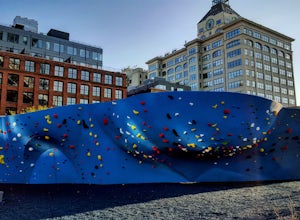
5.0Enter at the corner of Adams St. and John St. and see the Manhattan Bridge above you. To your left is the new DUMBO Boulders, the largest outdoor rock gym in North America: at least for now.At only $9 for a day pass, includes the price of rental shoes, it's a steal compared to any gym in the cit...Read more -
Brooklyn, New York
Photograph Manhattan Bridge from Washington Street NYC
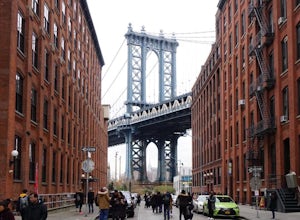
4.7Located in DUMBO this is seen as one of of the prime photography spots in NYC for good reason. Off the intersection of Washington Street and Water Street is a perfect view of the Manhattan Bridge sandwiched between two buildings. If you want to take it one step further you are able to get a close...Read more -
Brooklyn, New York
Brooklyn Bridge Walk via Brooklyn
4.71.12 mi / 0 ft gainBrooklyn Bridge Walk via Brooklyn is a point-to-point trail that takes you past scenic surroundings located near New York City, New York.Read more -
Big Indian, New York
Hike to Balsam Mountain in the Catskills
5.4 mi / 2910 ft gainTimeline: Weekend, though can easily be done as an overnight trip or just a day hike Summary: Day 1: Hike to camp (0.7 miles, 340' elevation gain) Day 2: Hike to Balsam Mountain and back to camp (4 miles round-trip) Day 3: Relax & hike back to car (0.7 miles) Details: Park the car at McKinle...Read more

