Ferguson, North Carolina
Looking for the best photography in Ferguson? We've got you covered with the top trails, trips, hiking, backpacking, camping and more around Ferguson. The detailed guides, photos, and reviews are all submitted by the Outbound community.
Top Photography Spots in and near Ferguson
-
Linville, North Carolina
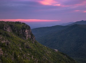
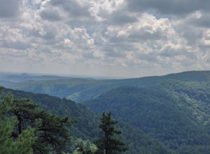
Shortoff Mountain Summit
4.84.64 mi / 1178 ft gainStart your hike from the Shortoff Mountain Trail off of Wolf Pit Road at the base of Lake James. From the summit there is a small grassy area off a side trail that provided awesome cliff side views of the Gorge and Linville River! You can setup after making the hour and a half trek (maybe just in...Read more -
Marion, North Carolina
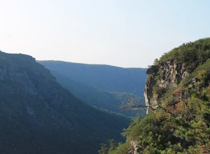
Camp in the Linville Gorge via the Pinch In Trail
1.5 miWe are pretty notorious for passing up a good campsite but we are learning our lessons. We got a late but interesting start on Pinch-In trail. We climbed down a steep 600+ feet after passing this ledge only to climb right back to it a third of a mile in. If we come up to an awesome spot, we somet...Read more -
Marion, North Carolina
Hike the Rock Jock Trail
6 mi / 700 ft gainOne of the first things I noticed when researching this hike was the conflicting information regarding finding the trail head, length of the hike, and the hike's correct route. Hopefully, as of September 2017, this report will contain the most up-to-date information currently available. To find t...Read more -
Newland, North Carolina
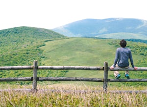
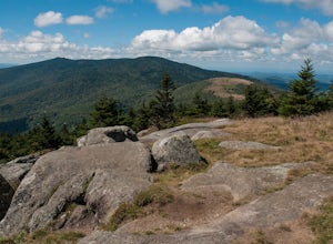
Big Hump Mountain via the Appalachian Trail
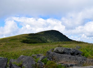
4.57.83 mi / 2021 ft gainTowering over Little Hump Mountain, Big Hump Mountain offers one of the clearest views on the Appalachian Trail. Big Hump Mountain is located in the Roan Highlands North of Bradley Gap. This peak is not as traveled as other popular hikes in the area despite its massive size because of the intense...Read more -
Newland, North Carolina
Hike to Bradley Gap along the Appalachian Trail
4.6 mi / 1339 ft gainBradley Gap rests along the Appalachian Trail overlooking North Carolina and Tennessee mountains. Part of the Roan Highlands, Bradley Gap can be accessed via Yellow Mountain Gap Trailhead. Follow the Roaring Fork Trail from the trailhead until you intersect the Appalachian Trail (White Blaze) app...Read more -
Nebo, North Carolina
Explore Lake James State Park
The park has about 15 miles of trails with different levels of difficulties . Hiked the Lake Channel Trail along the lake with good views of the lake and the Blue Ridge Mountains. Hiked the Mill's creek trail which is nicely shaded and offers good views of the lake and the Linville Gorge area. ...Read more -
Shady Valley, Tennessee
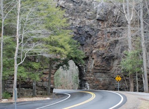
Explore Backbone Rock and Falls
4.7First, from the parking lot, there is a trail which climbs up to walk on top of the rock. The top of the rock is narrow, but has hand rails to hold on to. Once finished walking on top of the rock, cross the road (be extremely careful) and walk away from the tunnel. Here is a good angle to take a...Read more -
Connelly Springs, North Carolina
Chestnut Knob via River Trail
4.05.9 mi / 1115 ft gainThe journey begins at the Cicero Branch Parking Area along South Mountain Road, following Jacob Fork River Trail. The trail runs along the Fork before ascending Chestnut Knob. After completing the trail, you will find yourself on the highest peak of the South Mountain chain, where there are breat...Read more -
Bakersville, North Carolina
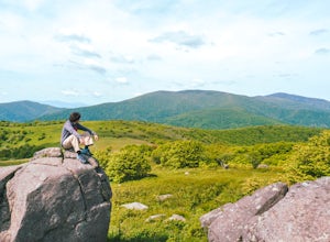
Grassy Ridge Bald in the Roan Highlands
5.04.84 mi / 932 ft gainOnce you've parked at Carver's Gap (5500'), the trailhead is pretty easy to find. Simply cross the highway and jump onto the Appalachian Trail, right on the border of North Carolina and Tennessee. Head north on the AT as you head through the Roan Mountain Balds. In the very beginning of the hike,...Read more -
Roan Mountain, Tennessee
Roan Highlands: Carvers Gap to US 19E via Appalachian Trail
5.015.47 mi / 2598 ft gainThe Roan highlands, possibly one of the best sections of the Appalachian Trail, is a section of grassy balds that range from 5000-6000 feet following the A.T. Start at Carvers Gap ( Highway 261 NC / Highway 143 TN) on the TN/NC border. You can either leave a car at Highway 19E or arrange for a s...Read more -
Bakersville, North Carolina
Hiking from Carver's Gap to Hwy. 19 on the AT
5.020.7 miThe AT from Carver's Gap to HWY 19 is about 14.5 miles, but with side adventures, it could be roughly 20 miles. The trail crosses the road and continues up about a 400 ft. elevation gain to the first of the balds. This section of the AT is beautiful at near 6000 ft. above sea level and you will g...Read more -
Hampton, Tennessee
Hike to Laurel Fork Falls
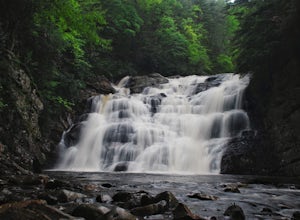
4.62.6 mi / 600 ft gainFrom Hampton, Tennessee, take US-321S for about 3.5 miles. Turn right onto Dennis Cove Road and travel for 4 miles on this steep and very curvy mountain road. The trailhead is where the Appalachian Trail (AT) crosses the road at a small gravel lot on the left. Take the AT north on the trail lea...Read more -
Hampton, Tennessee
Hike and Traverse the Cables to Dennis Cove Falls
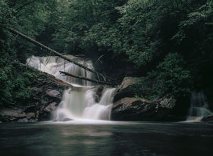
5.03.2 mi / 300 ft gainThe Hike to Dennis Cove Falls includes three water crossings and passes several small waterfalls. Sturdy cables spanning the width of the water crossings provide a fun way of traversing the creek without wading. It is completely possible to wade through the creek while holding onto the cables for...Read more -
Elk Creek, Virginia
Camp at Comers Rock Recreation Area
1 miI didn't have any issues putting "Comers Rock Recreation Area" into my phone's GPS (Waze) and arriving exactly where I was supposed to. When you turn off US 21 (aka the Grayson Turnpike/Elk Creek Parkway) to Jefferson National Forest Road 57, you'll see a sign a parking lot that says "road not su...Read more -
Elizabethton, Tennessee
Climb at Blue Hole Falls
3.70.1 mi / 0 ft gainFrom TN 91, turn onto Panhandle Road. Follow Panhandle for 1 mile and park in the parking lot to the left. Waterfall Follow the path to your right downwards until you encounter wooden stairs. The main waterfall will be to your right less than .1 mile from the parking lot. There are two other wat...Read more -
Elizabethton, Tennessee
Kayak at Wilbur dam
Great spot for kayaking! There is a small waterfall across the lake. The water is very still. Great for kayaking. The spot is somewhat hidden so not many people know about it. There are never many people there. It is a beautiful lake with amazing views. There is also a small picnic area in front ...Read more

