Micaville, North Carolina
Top Spots in and near Micaville
-
Unicoi, Tennessee
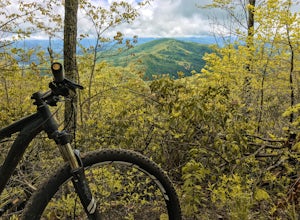
Pinnacle Mountain is a long, grinding climb to the top. The singletrack winds up 1,500 feet of elevation for nearly 5 miles with few downhill sections. Once at the top, take a rest and climb the fire tower that overlooks the Downtown Johnson City area, Elizabethton, Erwin, and the rest of the Buf...
Read more
-
Linville, North Carolina
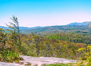
Flat Rock Trail is located off the Blue Ridge Parkway at milepost 308. There is a pull-off from the Parkway with a sign designating the location. There are several picnic tables around the pull-off, but I would recommend taking your lunch up to Flat Rock.
The wide, clear trail is practically flat...
Read more
-
-
Unicoi, Tennessee
5.0
3.47 mi
/ 663 ft gain
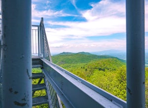
Pinnacle Mountain hosts one of the nicest fire towers on the East Coast of the United States. The fire tower is relatively new, sturdy, and has a large 360 degree viewing area at the top. The tower overlooks the Downtown Johnson City area, Elizabethton, Erwin, and the rest of the Buffalo Mountain...
Read more
-
Elk Park, North Carolina
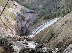
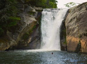
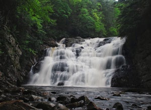
The coordinates for the parking area are 36.198288, -81.970137. You'll see a parking area that's dirt/gravel on the right side of the road. At the far end of the parking lot is a sign that says Elk River Falls with an arrow pointing up the hill. From this point its about a .2 mile long walk to th...
Read more
-
Linville, North Carolina
5.0
7.49 mi
/ 1280 ft gain
If you're feeling frisky, set your alarm for the early am and park at the Beacon Heights Parking area about 30 minutes before dawn. Put on your head lamp and hike the short trip to Beacon Heights, bask in the glory of the warm morning sun, then head back down and connect with the Tanawha Trail. A...
Read more
-
Newland, North Carolina
5.0
0.71 mi
/ 105 ft gain
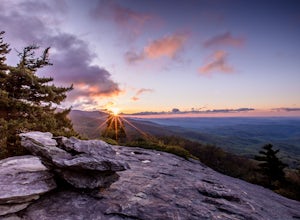
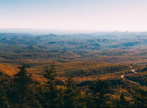
Beacon Heights is the perfect hike when you're on the Blue Ridge Parkway near Linville and Grandfather Mountain, Milepost 305.2. The trail is a steady climb uphill for less than a half mile. The last section being fairly steep and rocky. Once at the top, there are several rock outcroppings, but...
Read more
-
Hampton, Tennessee
5.0
2.43 mi
/ 449 ft gain
Laurel Falls via Appalachian Trail is an out-and-back trail that takes you by a waterfall located near Hampton, Tennessee.
Read more
-
Hampton, Tennessee
Appalachian Trail: Dennis Cove to US 19E is a point-to-point trail that takes you through a nice forest located near Roan Mountain, Tennessee.
Read more
-
Hampton, Tennessee
Appalachian Trail: Dennis Cove to Watauga Lake is a point-to-point trail that takes you by a waterfall located near Hampton, Tennessee.
Read more
-
Hampton, Tennessee
From Hampton, Tennessee, take US-321S for about 3.5 miles. Turn right onto Dennis Cove Road and travel for 4 miles on this steep and very curvy mountain road. The trailhead is where the Appalachian Trail (AT) crosses the road at a small gravel lot on the left.
Take the AT north on the trail lea...
Read more
-
Hampton, Tennessee
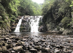
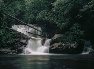
The Hike to Dennis Cove Falls includes three water crossings and passes several small waterfalls. Sturdy cables spanning the width of the water crossings provide a fun way of traversing the creek without wading. It is completely possible to wade through the creek while holding onto the cables for...
Read more
-
Asheville, North Carolina
The Haw Creek Valley Overlook is only 8 miles from downtown Asheville. If you're in the downtown area, it's a rather easy place to zip on over to if you're in need of some time away from urban life.
This overlook is a hot spot for sunset watching and picture taking. If you plan on seeing what th...
Read more
-
Seven Devils, North Carolina
Calloway Peak via Profile Trail is an out-and-back trail with waterfall views located near Banner Elk, North Carolina in Grandfather Mountain State Park.
Read more
-
Johnson City, Tennessee
Lone Oak to Tip Top Trail is an out-and-back trail where you may see beautiful wildflowers located near Johnson City, Tennessee.
Read more
-
Linville, North Carolina
5.0
6.2 mi
/ 2300 ft gain
If you're looking for a challenge and hoping to escape the crowds at Grandfather Mountain, this is the hike for you.
Climbing up the back side of the mountain (opposite the famed mile-high swinging bridge) this trail is fee-free and easy-to-access with its own parking lot.
The trail, marked w...
Read more

