Micaville, North Carolina
Top Spots in and near Micaville
-
Johnson City, Tennessee
5.0
4.94 mi
/ 1457 ft gain
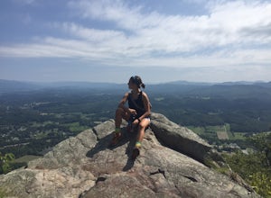
White Rock Loop is a loop trail where you may see beautiful wildflowers located near Johnson City, Tennessee.
Read more
-
Johnson City, Tennessee
4.0
5.4 mi
/ 1388 ft gain
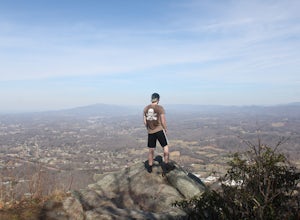
Tip Top rests on one of the highest points of Buffalo Mountain. The overlook features tree coverage perfect for hammocking and benches while providing views of Downtown Johnson City as well as the other side of the mountain range. The hike from the trailhead to Tip Top is moderately steep. The tr...
Read more
-
Johnson City, Tennessee
5.0
3.12 mi
/ 1220 ft gain
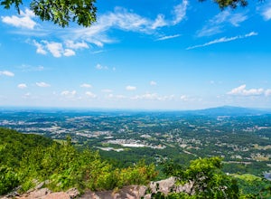
The Fork Knob and White Rock Loop in Johnson City, Tennessee, is a moderately challenging hiking trail that spans approximately 3.12 miles. The trail is marked by a variety of natural features, including a prominent rock formation known as White Rock, which offers panoramic views of the surroundi...
Read more
-
Johnson City, Tennessee
5.0
2.85 mi
/ 876 ft gain
The White Rock trailhead is less than a 10 minute drive from downtown Johnson City. When pulling up Highbridge Road, take a left at the fork. You will shortly encounter a vehicle gate where you will park to the side of the road (do not block the yellow vehicle gate).
You have the option to walk ...
Read more
-
Johnson City, Tennessee
5.0
0.65 mi
/ 223 ft gain
Sunset Point is an overlook located in Buffalo Mountain State Park. The trail is a short hike up along the White Rock loop trail then a short walk off the trail to get to the overlook. There is a clearing with a few benches that has wide open views to the west. The short hike up to the point shou...
Read more
-
Linville, North Carolina
The trailhead for Rough Ridge will be on your righthand side when driving the Blue Ridge Parkway from Boone, NC. This trail gets busy in the warmer months, but parking usually is not too much of an issue. This trail is not open in the winter.
Rough Ridge will take you around 30-45 minutes to rea...
Read more
-
Banner Elk, North Carolina
5.0
6.31 mi
/ 1991 ft gain
At 5,946 feet, Calloway Peak provides hikers with perhaps the best view of North Carolina's Blue Ridge Mountains. You'll have to earn this view - it is a tough climb up, although not terribly long.
Begin at the trailhead for Tanawha Trail in the Boone Fork Parking Area on the Blue Ridge Parkway....
Read more
-
Banner Elk, North Carolina
Boone Fork Bridge and creek is situated at the base of Grandfather Mountain, on the Blue Ridge Parkway, milepost 299.9. Elevation 3905'.The trailhead is at the left side of Boone Fork Creek parking area and the trail is a gentle meander through Rhododendrons and a hardwood forest.As you head tow...
Read more
-
Asheville, North Carolina
The Martin Luther King Jr Park includes a large multi-purpose field as well as a playground that's great for kids. It's the perfect place to go solo to clear your head and chill with a book or with family and friends for an outdoor game.
Right at the entrance to the Park stands a statue of Mart...
Read more
-
Asheville, North Carolina
If you're in Asheville, it'll be quite difficult to miss out on going to or at least hearing about Pack Square Park. The park is bustling with activity as it's a common, middle ground place for people to meet up, to take a lunch break, or to catch some rays of sun on a warm day. It's also a commo...
Read more
-
Marshall, Tennessee
Appalachian Trail: Jones Meadow to Jerry Cabin Shelter is an out-and-back trail that provides a good opportunity to view wildlife located near Greeneville, Tennessee.
Read more
-
Asheville, North Carolina
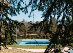
Close to downtown and in between several bed and breakfasts in Montford, NC, you'll find Montford Park. Though you may not expect it, the park boasts a couple of tennis courts, a basketball court, and some green space for picnicking, relaxing with friends, or getting lost in a good book.
People...
Read more
-
Johnson City, Tennessee
The course gravel trail begins just east of downtown Johnson City. The trail maintains a flat grade throughout the 10 miles towards the city of Elizabethton. There are restrooms 3 miles in from the Johnson City trailhead. You can also park at Lions Field in Elizabethton and head west towards John...
Read more
-
Black Mountain, North Carolina
Eagle Rock is located in Chimney Rock State Park and is a hot spot for climbers and hikers!
The hike to the overlook at Eagle Rock is 0.4 miles, and it's one of the most bang-for-your-buck trails in the area. We love to picnic out on the rock as it's in the sun most of the day. If you decide to...
Read more
-
Elizabethton, Tennessee
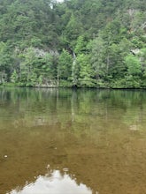
Great spot for kayaking! There is a small waterfall across the lake. The water is very still. Great for kayaking. The spot is somewhat hidden so not many people know about it. There are never many people there. It is a beautiful lake with amazing views. There is also a small picnic area in front ...
Read more
-
Greeneville, Tennessee
To reach the trail head, take exit number 39 to Erwin/Jonesborough and turn onto State Route 81/107 west and stay on this for 6.5 miles. Then you will turn left to stay on Route 107 and continue on for 16 more miles. Then you will take a left on Route 351 and drive 4.5 miles. Then you will take a...
Read more

