Arch Cape, Oregon
Top Spots in and near Arch Cape
-
Tillamook, Oregon
King's Mountain
4.54.47 mi / 2461 ft gainKing's Mountain may be one of the most consistent hikes in the greater Portland area gaining 2,500 vertical-feet over 2.5 miles almost evenly the entire time. The trail starts out at a marked trailhead just west of the Elk Mountain campground (stop there for water and more restrooms in summer &a...Read more -
Timber, Oregon
Hike the Upper Salmonberry River Trail
4.112.5 mi / 1600 ft gainIf you are craving adventure and exploration in a unique hiking setting, then you have come to the right place! This is a hike where every time you turn a corner your eyes light up with excitement and your imagination runs wild. Be forewarned though…if you fear cold, dark, and creepy abandoned tr...Read more -
Tillamook, Oregon
Wilson River Trail
3.018.58 mi / 4879 ft gainThis long trail provides hikers with great views of the corridor in the Coast Range. As the trail follows public land for the most part, there are a couple sections with steady elevation gains to avoid private land: near Lees Camp and Ryan Creek. Although the trail receives some of the most rain...Read more -
Gaston, Oregon
University Falls
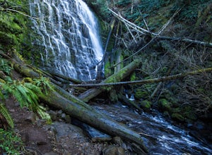
4.00.61 mi / 138 ft gainThe 0.3 mile hike to University Falls seems longer than it is because you'll be stopping to take pictures every step of the way. No, you're not in an enchanted forest, you're in the Tillamook National Forest. The waterfall you're about to find, however, certainly is enchanting. From Portland, he...Read more -
Tillamook, Oregon
Short Hike to Munson Creek Falls
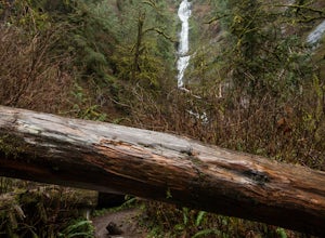
4.00.4 miLocated just outside of Tillamook, Oregon, Munson Creek Falls is a must do if you're in the area. Standing at almost 320 feet tall, Munson Creek Falls is one of few waterfalls in Oregon that is over 300ft tall.Because of heavy storms in the area there has been a build up of fallen trees around th...Read more -
Cloverdale, Oregon
North Trail
3.04.22 mi / 1053 ft gainThe North Trail at Cape Lookout State Park in Oregon is a challenging (hilly) route with beautiful views of the Pacific Ocean. Start at trailhead along Cape Lookout Road. There are 3 trails available, North, Cape Lookout, and South trails. Follow signs for the North trail. The trail drops stee...Read more -
Cloverdale, Oregon
Cape Lookout
4.54.74 mi / 1135 ft gainCape Lookout is a two-mile long peninsula that juts into the Pacific Ocean from Oregon's rugged coastline. The park features more than 170 campsites, yurts, rustic cabins, and a day-use area, all located a short walk from the beach. There are roughly 10 miles of trails ranging from easy to mode...Read more -
Ilwaco, Washington
Fort Canby and Cape Disappointment Lighthouse
5.01.5 mi / 500 ft gainCape Disappointment State Park is nearly 2,000 acres of old growth temperate forest located at the mouth of the Columbia River that contains lakes, coves, two lighthouses, and military forts. One of the forts and lighthouses is Fort Canby and Cape Disappointment lighthouse, which date back to the...Read more -
Ilwaco, Washington
Camp at Cape Disappointment
4.5Don't let the name fool you, this over 1,700 acre state park offers plenty for the outdoor enthusiast. The cape was named by explorer John Meares after a failed attempt to enter the Columbia River. Lucky for you, maps have been upgraded and the river mouth and cape are no long as challenging to c...Read more -
Ilwaco, Washington
Explore Cape Dissapointment's North Head Lighthouse
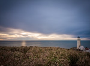
5.0From the North Head parking lot located at the end of N Head Lighthouse Rd, make your way to the lighthouse by following the lighthouse signs at the parking lot. There's a path to the right that you can take that will take you to a view point (the walk to this viewpoint is short and easy). The ...Read more -
Beaver, Oregon
Hebo Lake to South Lake via Pioneer Indian Trail
14.07 mi / 2697 ft gainHebo Lake to South Lake via Pioneer Indian Trail is an out-and-back trail that takes you by a lake located near Beaver, Oregon.Read more -
Cloverdale, Oregon
Explore Cape Kiwanda
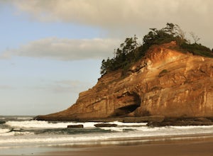
4.8Cape Kiwanda is part of the Three Capes Scenic Route. It offers sea stack rock formations, beautiful beaches, sand stone cliffs, and if you are lucky enough, amazing wildlife. It is the home of the Pacific Dory Fleet.If you are early enough, you can catch the fisherman coming and going in the mys...Read more -
Cloverdale, Oregon
Cape Kiwanda State Natural Area
4.01.04 mi / 171 ft gainCape Kiwanda State Natural Area is a loop trail that takes you past scenic surroundings located near Cloverdale, Oregon.Read more -
Cloverdale, Oregon
Surf Pacific City
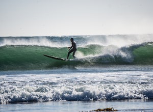
4.5From Pacific City, drive into the Pelican Brew Pub parking lot and right out on the beach to park (4x4 recommended, but not required). Suit up, and head out into the water. Sandy, cold water will greet you with occasional perfect swells to catch back to shore! Perfect for surfing, boogie boarding...Read more -
Beaver, Oregon
Hike to Niagara Falls, OR
4.04 mi / 800 ft gainGetting There Get onto Highway 101. Between Tillamook and Lincoln City at the town of Beaver, turn east near mile marker 80 onto a paved road toward upper Nestucca River. Follow this scenic road 6.7 miles to the town of Blaine. Stay to the right and drive another 4.8 miles; between mile markers 1...Read more -
Clatskanie, Oregon
Beaver Falls Trail
3.00.58 mi / 0 ft gain…Beaver Falls is one of those spots where if you’re looking to avoid the crowd of the Columbia River Gorge, this is another good alternative on where you could go. Not only is that a huge plus, but it’s not often you get to experience a scenic waterfall that you don’t have to put in a ton of effo...Read more

