Oregon
Start at the coast, hit up breweries and food trucks in Portland, explore hundreds of waterfalls in the Columbia River Gorge, ski or snowboard year-round on Mt. Hood and continue on to the Alvord Desert. Even with all of this adventure, you'll just be scratching the surface of what Oregon has to offer.
Top Spots in and near Oregon
-
Lane County, Oregon
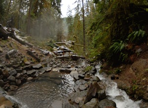
Terwilliger (Cougar) Hot Springs
4.20.9 mi / 249 ft gainSoaking in Terwilliger (otherwise known as "Cougar") hot springs is a great way to relax and wind back while exploring the Cascades. A spring flows from a small cave and cascades into multiple pools leading down a small gully, creating pools which have varying temperatures from hot (closer to the...Read more -
Government Camp, Oregon
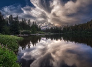
Mirror Lake Trail
4.54.09 mi / 810 ft gainI was out doing the Ramona Falls hike, and I decided that I needed to find a lake that provided me with a great view of Mt Hood. My first stop was Trillium Lake, but with that being a “drive up” lake, there were tons of people. Tons of people only means one thing…turbulent waters! As I was dr...Read more -
Portland, Oregon
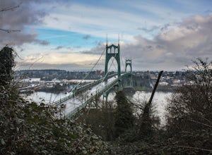
Hiking the Ridge Trail in Forest Park
4.22.75 miThis is a great option for a quick hike when you don't have time to get out of the city but need to satisfy your craving to get outside and escape the noise of bustling Portland. Follow Firelane 7 from the Springville Trailhead up towards Leif Erickson Drive and the Ridge Trail. There are signs a...Read more -
Government Camp, Oregon
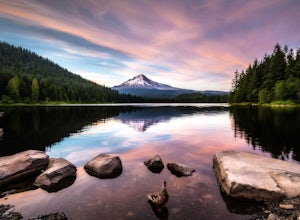
Trillium Lake
4.91.89 mi / 108 ft gainTrillium Lake is a popular camp spot at the base of Mount Hood. It's known for it's scenery, abundant recreational activities, and is family friendly. Boating, swimming and fishing are quite popular on the 63 acre lake. There is a small boat ramp within the campground and a larger ramp available ...Read more -
Bend, Oregon
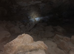
Boyd Cave
5.00.69 mi / 66 ft gainLocated 20 miles southeast of Bend, Boyd Cave is a well preserved lava tube stretching close to a mile. To get there, take Highway 97 South through Bend and turn left on China Hat Road. Go straight for exactly 9 miles. Turn left at mile 9 onto the trail at FS242. You will know it has been 9 miles...Read more -
Silverton, Oregon
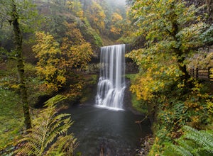
Camp in Silver Falls State Park
4.68.7 mi / 1300 ft gainIf you're thinking of hiking the Trail of Ten Falls Loop and staying overnight, there are 42 tent campsites (available from April – Oct) as well as 14 rustic cabins. With multiple beds, heat, electricity, a covered porch, and a small fridge, they provide the perfect respite after a long day of ex...Read more -
Marion County, Oregon
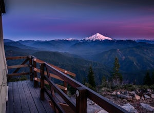
Gold Butte Fire Lookout
4.32.44 mi / 741 ft gainGold Butte Fire Lookout is a real gem in the Willamette National Forest. At 4618 feet elevation, the nearby Cascade Mountain views are nothing short of spectacular! At the summit, sits a L-4 Ground Structure Type Fire Lookout that was built in1934 to be used as a Fire Lookout. Additionally, durin...Read more -
Cascade Locks, Oregon
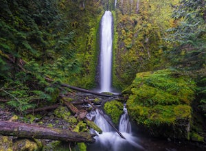
Gorton Creek Falls
4.71.01 mi / 361 ft gainThe Gorton Creek Falls hike provides an excellent challenge for those who are searching for a bit of adventure. The trailhead starts at the Wyeth Campground day use area, and continues straight at the intersection. The first 2/3rds of the trail are relatively easy to traverse (depsite being rough...Read more -
Otter Rock, Oregon
Explore the Devils Punchbowl Arch
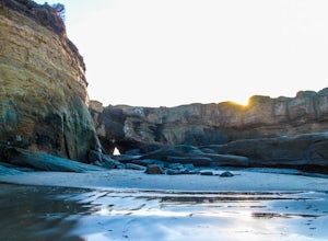
4.6Devils Punchbowl State Park is located just off of Highway 101. Finding the access path to the beach can be tricky since you need to be on the North side of the Punchbowl, but look for a path heading through the trees on C Avenue just north of 3rd. Once you get down to the beach head left.You may...Read more -
Deschutes County, Oregon
Chush Falls
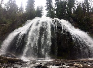
3.35.75 mi / 823 ft gainJust outside of Sisters, Oregon, near Bend, is a beautiful hike to a picturesque waterfall. It is rarely crowded thanks (and no thanks) to the Pole Creek Fire, which ravaged the area several years ago. Because of the fire, the hike and landscape have been drastically altered. What used to be a 2-...Read more -
Lebanon, Oregon
Hike McDowell Creek County Park
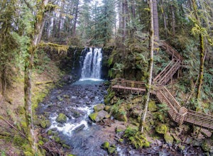
4.9GPS coordinates Lat: 44.46389 Long: -122.68278Exit off I-5 in Albany onto Highway 20 and proceed for approximately 20 miles to McDowell Creek Road and turn left, follow McDowell Creek Road - watching for signs for the park - for about 6 ½ miles, to the first of three parking areas within the park...Read more -
Woodburn, Oregon
Explore the Woodburn Shoe Tulip Farm
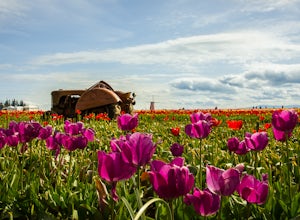
4.0The Wooden Shoe Tulip Farm is open 9am-6pm and offers the public a chance to see their 40 acres of Tulips for a limited time during the year. Their tulip fest goes from late March to early May so double check to make sure they're open before you go.For $5 a person or $20 for a car this place off...Read more -
Lane County, Oregon
Salt Creek Falls
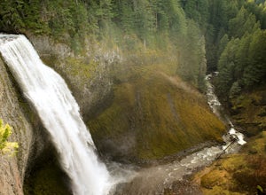
4.50.65 mi / 141 ft gainLocated off of the 58 Freeway, Salt Creek Falls is the second tallest waterfall in Oregon. The powerful cascade pours into a scenic canyon below, with beautiful surrounding views. You can drive almost right up to the falls, which is either great or anti-climactic, depending on your outlook. Turn...Read more -
Cascade Locks, Oregon
Elowah Falls
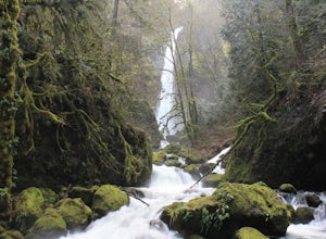
4.81.36 mi / 512 ft gainMultnomah Falls, which is about 5 miles from Elowah [along the Historic Columbia River Highway] takes a large portion of the crowd due to its visibility from the highway. With that said, you may get a much more deserted Elowah Falls if you decide to take the short but steep 15-minute hike to it...Read more -
Oceanside, Oregon
Tunnel Beach
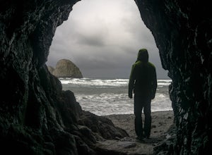
5.00.47 mi / 75 ft gainThe main beach is located adjacent to Oceanside Beach State Park, which can be accessed via Cape Meares Loop/Netarts Oceanside Hwy. Once you arrive at the park, head down towards the beach and start walking North. You'll notice a little hole-in-the-wall past a small group of rocks which you'll h...Read more -
Bend, Oregon
Tam McArthur Rim, Green Lakes, Park Meadow Tie Loop
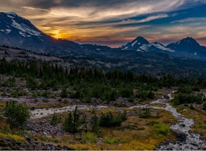
3.322.58 mi / 3675 ft gainThis loop trip around Broken Top is one of the premier backpacking loops in Oregon. The trail winds past numerous alpine lakes, including the popular Green Lakes area, and offers near-constant views of Broken Top, the Three Sisters, and Mount Bachelor. To top it all off, the clear skies typical o...Read more

