Oregon
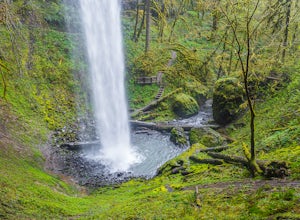
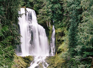
Start at the coast, hit up breweries and food trucks in Portland, explore hundreds of waterfalls in the Columbia River Gorge, ski or snowboard year-round on Mt. Hood and continue on to the Alvord Desert. Even with all of this adventure, you'll just be scratching the surface of what Oregon has to offer.
Top Spots in and near Oregon
-
Cascade Locks, Oregon
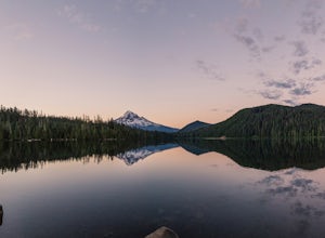
Camp at Lost Lake
4.7When the temperature starts to creep up in the summer, Lost Lake is the perfect escape. The campground provides you with everything you could want – miles of scenic hiking, a multitude of water activities, and even a general store for anything you might have forgotten at home.The lakeside tent ca...Read more -
Corbett, Oregon
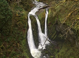
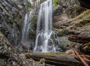
Triple Falls
4.53.4 mi / 1168 ft gainAccess to Triple Falls is currently closed. Learn more on the Forest Service Site. This hike, starting at the Oneonta Trailhead is a 3.2 mile roundtrip. You will gain approximately 600 feet in elevation as the trail often switches from moderate flat easy hiking to more difficult elevation gain a...Read more -
Government Camp, Oregon
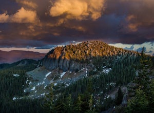
Tom Dick and Harry Mountain
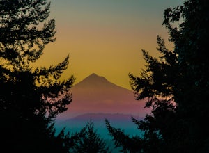
5.08.28 mi / 1726 ft gainLooking to score those iconic photos of Mt. Hood? Climb the well-graded trail to Tom Dick and Harry Mountain, one of the most accessible summit hikes to Portlanders, and see where they were all taken. Starting from the busy Mirror Lake Trailhead, climb roughly 900 feet and 1.5 miles to Mirror La...Read more -
Blachly, Oregon
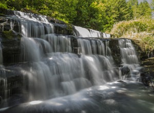
Triangle Lake Rock Slides and Lake Creek Falls
4.7Stay cool on a hot summer day with a natural rock water slide, multiple swimming hole areas, and multiple waterfalls. This is perfect for relaxing in the sun! The sign for the parking area is upstream of the falls. There is a store across from the lake if you need any last minute food and drinks...Read more -
Portland, Oregon
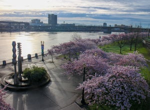
Waterfront Park
4.52.68 mi / 79 ft gainLooking for a quick run along the water in the heart of Portland? Look no further. This relatively flat 2.6 mile loop runs right along the Willamette and features great views of the city’s bridges, river, the downtown skyline, and all of the fun people enjoying this urban park. From the Salmon S...Read more -
Camp Sherman, Oregon
Black Butte
4.53.94 mi / 1493 ft gainJust outside of Sisters Oregon is the stunning and popular day hike to the summit Black Butte (Elevation 6,436 feet). At the top, spectacular views of the surrounding Cascades await the intrepid hiker. To get to the trailhead, turn off of Highway 22 onto National Forest Road (NFR) 11, also known...Read more -
Deschutes County, Oregon
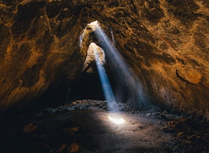
Skylight Cave
4.40.2 mi / -25 ft gainThe hardest part about getting to Skylight Cave is the drive. Start by coming from Sisters, Oregon, and use the driving directions below to find it. The Google Maps pin is accurate, and if you like coordinates, you can use 44°20'55.3"N 121°42'55.9"W as well. It's recommended you download an offl...Read more -
Foster, Oregon
Iron Mountain
4.71.79 mi / 610 ft gainGetting There There are a couple of different routes to the summit of Iron Mountain. This adventure article focuses on the shorter but more strenuous hike to the summit of Iron Mountain. To get there, drive to the upper trailhead (Trail # 3389) via Highway 20. Take Forest Service Road (FSR) 035 ...Read more -
Stayton, Oregon
Shellburg Falls
3.23.7 mi / 520 ft gainThis hike is currently closed due to fire damage. Please check the Oregon.gov website or the call the Oregon Department of Forestry (503-859-4344) for updates. The hike, including the initial 1.25 mile gravel road to the trailhead, is easy to complete within 1-2 hours and only requires a modera...Read more -
Portland, Oregon
Mount Tabor Loop
4.51.88 mi / 325 ft gainMount Tabor City Park is located in the heart of southeast Portland and is situated atop an extinct volcano. It’s comprised of more than 190 acres of beautiful Douglas Fir forest and features several relatively easy routes to the top: the easiest being the road you can drive (but what’s the fun i...Read more -
Lane County, Oregon
Linton Falls
4.54 mi / 900 ft gainNOTE: There is no development of viewing areas or trails, which makes for more of a wilderness experience than other waterfalls in the region. There may also be fallen trees blocking the trail, making this adventure more challenging. Hiking to Linton Falls accounts for the two larger waterfalls...Read more -
Yachats, Oregon
Hike the Cooks Ridge Trail at Cape Perpetua Scenic Area
5.06.5 mi / 1500 ft gainIf you've set up camp at Perpetua Campground, head out toward the Cape Perpetua Visitors Center, head east along the Cooks Ridge Trail. After 3.75 miles and 1500ft elevation gain, head south and then west along the Cummins Creek Trail, eventually ending up at the ocean along Neptune State Scenic ...Read more -
Mitchell, Oregon
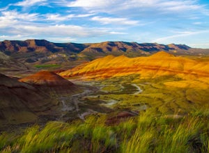
Photograph the Painted Hills
4.5The Painted HIlls is the most dramatic of the three units that make up John Day Fossil Beds National Monument. Any trip to Eastern Oregon via Rt 26 requires a stop at the Painted HIlls to take in the unique landscape.John Day Fossil Beds are fee-free and as you enter you will see an area with bat...Read more -
Mount Hood, Oregon
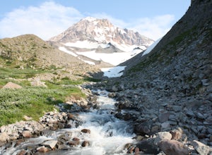
McNeil Point via Top Spur Trailhead
4.97.17 mi / 2428 ft gainThe hike to McNeil Point begins at Top Spur Trailhead, in the Mt. Hood National Wilderness. Follow signs for McNeil Point along the Pacific Crest and Timberline Trails heading north. Though there are numerous camping opportunities along the way (most of the route follows the PCT), an old stone s...Read more -
Lyons, Oregon
Henline Falls Trail
5.01.71 mi / 312 ft gainThe trail is a washed out, old mining road making its way through a lush forest with a mix of ferns, moss covered trees, and towering Douglas Firs with trees blown over from wind storms lining both sides of the trail. I call those Big Foot traps. The trail comes to a fork, stay to the left you ar...Read more -
Cascade Locks, Oregon
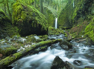
Hike to Mossy Grotto Falls
2.71.6 miNote: This trail may be closed. Additionally, getting to Mossy Grotto Falls is a very challenging adventure, especially when conditions are muddy. Before exploring this adventure, consider checking for updates with the Forest Service for the Columbia River Gorge: (541) 308-1700. This newly di...Read more

