Wilkes Barre, Pennsylvania
Looking for the best photography in Wilkes Barre? We've got you covered with the top trails, trips, hiking, backpacking, camping and more around Wilkes Barre. The detailed guides, photos, and reviews are all submitted by the Outbound community.
Top Photography Spots in and near Wilkes Barre
-
Muncy Valley, Pennsylvania
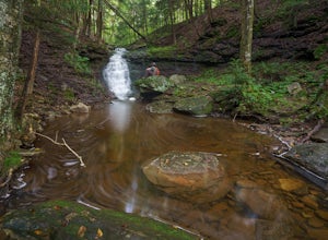
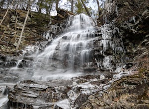
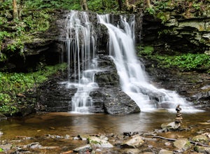
Mineral Springs Falls
0.25 miMineral Springs is a roadside waterfall near Worlds End State Park. It is worth the stop to photograph and fairly easy to move around on either side of the run to get different angles. This is a run not far from Canyon Vista which is another popular spot. The waterfall sits just off Mineral Sp...Read more -
Muncy Valley, Pennsylvania
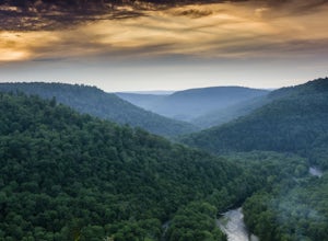
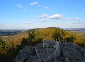
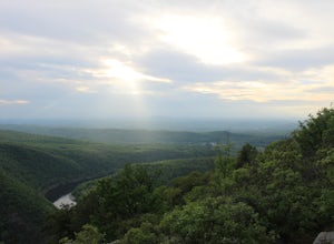
Photograph The Loyalsock Canyon Vista
4.0Take a drive to World's End State Park through the Loyalsock Valley and enjoy a great view. Once you enter the state park via 154, drive past the main parking area and take a right onto Mineral Spring Road and follow it until you take a left onto Cold Run Road. The road up is about two miles - wh...Read more -
Forksville, Pennsylvania
High Rock Trail
4.01.31 mi / 427 ft gainWorld's End offers a ton of trails, some for the family, and some for the more adventurous. The High Rock Trail is one of the more difficult trails in the State Park and one of the shortest. Start by parking at the main parking lot just near the Visitor Center. Take a quick walk over the bridge t...Read more -
Forksville, Pennsylvania
Camp at World's End Park Campground
5.0World's End Campground is tucked into a valley in the Loyalsock State Forest. Recreational opportunities abound here. Lay low and explore the valley, hike to the ridges and take in the views, or play in the Loyalsock creek which runs by the campground. The lush Pennsylvania wilderness makes for a...Read more -
Muncy Valley, Pennsylvania
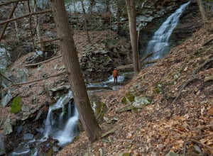
Angel Falls
4.02.9 mi / 771 ft gainThis is a moderate hike that does involve some uphill hiking to reach the top of the plateau and some downhill hiking to reach the base of the waterfall. Angel Falls is relatively easy to find though, with the Loyalsock Trail leading to a clear side trail that takes you straight to the top of the...Read more -
Muncy Valley, Pennsylvania
Gipson Falls
1 miGipson Falls is the other waterfall on Falls Run just off the Loyalsock Trail. There is a parking area for the Loyalsock Trail on Brunnerdale Road just off of Ogdonia Road. From the parking follow the Loyalsock Trail along the run for about .5 miles, once the Loyalsock Trail turns right and he...Read more -
Bangor, Pennsylvania
Hike Mount Minsi
3.6This is a great 5.5 mile hike at the Delaware Water Gap. You follow the Appalachian Trail the entire time (white marked trail) as it climbs to the top on Mt Minsi. There are multiple viewpoints on your way up that provide a great view of the water gap as well as some very picturesque trail points...Read more -
Kempton, Pennsylvania
Hike the Hawk Mountain Lookout Trail
4.54.5 mi / 500 ft gainThe 4.5 mile loop Hawk Mountain Lookout Trail takes you up to great views of the skyline of Pennsylvania. Surrounded by the rolling forested landscape and open sky, this trail is scenic through and through. Hike in the Spring to catch the flourishing wildflowers, and keep your eyes peeled for eag...Read more -
Hillsgrove, Pennsylvania
Dry Run Falls in the Loyalsock State Forest
4.0One of the most accessible waterfalls in all of Pennsylvania, Dry Run Falls is right along Dry Run Road in the Loyalsock State Forest. You can see the falls from the road and a short walk from the parking area will bring you down to a great vantage point for photos. You can also walk to the top ...Read more -
Columbia, New Jersey
Hike to Sunfish Pond
4.57.9 mi / 1150 ft gainAt the end of the parking lot, cross over the bridge and follow the Appalachian Trail (AT, white blazes) to a V-intersection. Turn right onto Dunnfield Creek Trail (green blazes), which will take you past a few cascades and up to Sunfish Pond. Relax and eat lunch at the pond. When you're ready, t...Read more -
Columbia, New Jersey
Hike Mt. Tammany via Red Dot Trail
4.62.3 mi / 1115 ft gainThis is a short but strenuous hike to a bluff overlooking the Delaware River and surrounding mountains and hills. The summit makes a good spot for a picnic or just for relaxing and watching the sunset. The entire hike also has plenty of beautiful photo ops, especially in the Fall. Find the trailh...Read more -
Columbia, New Jersey
Hike Mount Tammany's Red Dot and Blue Dot Loop
4.53.3 mi / 1197 ft gainMount Tammany located in the Delaware Water Gap is a very exciting hike. Short in length but with steep, rocky uphill portions this becomes more of a challenging trek. This hike allows for amazing views of the Delaware River, Route 80, and Mount Minsi on the other side. The summit makes for an aw...Read more -
Nazareth, Pennsylvania
Hike the Henry's Woods Loop in Jacobsburg State Park
5.01.9 mi / 200 ft gainOnly a short drive from the major Pennsylvania cities of Allentown, Bethlehem, and Easton lies Jacobsburg State Park and environmental center. The main feature of the park is most certainly the Henry's Woods loop. Although just under two miles, this trail encompasses a variety of terrain and ol...Read more -
Columbia, New Jersey
Hike the Mount Mohican-Raccoon Ridge Traverse
7.5 mi / 1500 ft gainThis point to point hike can be done in either direction. There is parking at the entrance to Worthington Campground. Cross Old Mine Road and start up the Garvey Spring Trail (orange markers). The trail passes Laurel Falls on the right then ascends steeply until you reach an old forest road. The...Read more -
Forksville, Pennsylvania
High Bridge Falls/Hoagland Branch
This beautiful photogenic spot in Loyalsock State Forest is viewable as you drive by, but be sure to stop and take some photos. The Hoagland Branch Road (gravel forest road) drives right by this scenic waterfall and waterway, you will see it while crossing on a small bridge. There is a pull off ...Read more -
Bushkill, Pennsylvania
Bushkill Falls Loop
3.81.89 mi / 331 ft gainBushkill Falls offers visitors a choice of 4 different trails to explore. All trails are very well maintained, making this trip safe for the whole family. The most rewarding trail is the Red Trail. This route brings you to all 8 of Bushkill's waterfalls. Taking the trail counter-clockwise, you w...Read more

