Tennessee
Looking for the best hiking in Tennessee? We've got you covered with the top trails, trips, hiking, backpacking, camping and more around Tennessee. The detailed guides, photos, and reviews are all submitted by the Outbound community.
Top Hiking Spots in and near Tennessee
-
Signal Mountain, Tennessee
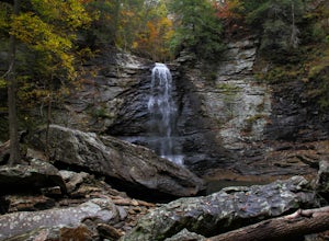
Hike to Rainbow Falls
4.75.7 mi / 1500 ft gainMost Rainbow Lake Trail hikers have seen or heard the majestic Rainbow Falls, but fewer have ventured down the treacherous path to the falls themselves. Albeit a bit daunting, especially if there has been recent rain, the path from Rainbow Lake Trail down to Rainbow Falls is a rewarding trek for ...Read more -
Jamestown, Tennessee
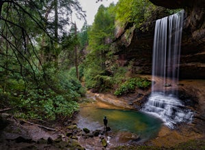
Northrup Falls
4.21.39 mi / 98 ft gainTruly a hidden gem, this trail seems to get little to no attention, yet is absolutely amazing. To get to the trail from I-40 near Crossville, Tennessee, take Highway 127 north toward Jamestown. Before getting to Jamestown, turn right on State Route 296 east, toward the town of Allardt. In Allardt...Read more -
Gatlinburg, Tennessee
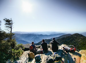
Mount LeConte-Cliff Tops via Rainbow Falls Trail
4.513.37 mi / 3993 ft gainBegin at the Rainbow Falls trail parking lot. This is very popular area especially in the summer. If the parking area at the trail head is full there is additional parking located just past the main lot. From here the Rainbow Falls trail is just under 14 miles to the summit of Mount Leconte. Elev...Read more -
Sevierville, Tennessee
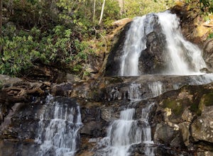
Laurel Falls Trail
4.32.45 mi / 314 ft gainThis straightforward, yet scenic hike follows a paved trail to the falls, which is among the most popular in the park. This trail can be especially crowded during the summer, so be sure to arrive early. Keep an eye out for a few steep drop-offs on either side of the trail along the way. There ha...Read more -
Kingston Springs, Tennessee
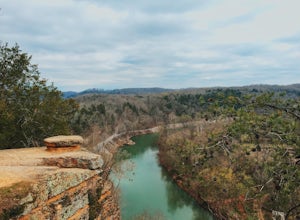
Bluff Overlook Trail
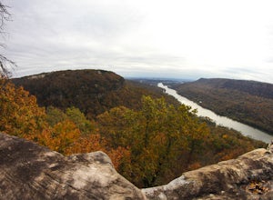
4.50.48 mi / 49 ft gainFrom the parking lot, walk up the same road the direction you entered. Just a little up the hill to the left, you will see the trailhead for the Bluff Overlook. It's only about a 0.25 mile hike, but the initial walk up the hill is steep. Once you reach the top, there are several points to sit and...Read more -
Tracy City, Tennessee
Sycamore Falls
4.52.18 mi / 236 ft gainSycamore Falls is located in the Fiery Gizzard region of South Cumberland State Park. The trailhead is located just past Tracy City Elementary School on Fiery Gizzard Road. There is a large parking lot with restrooms at the trailhead. Start your hike at the south end of the parking lot. This ...Read more -
Kingston Springs, Tennessee
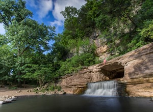
Narrows of the Harpeth
4.61 mi / 148 ft gainThe Harpeth River State Park has a handful of good trails to hike at the park. One of those trails includes the Bluff Overlook trail. That post can be read here. There are two trails leading to the tunnel waterfall. One is the tunnel trail that's connected to the Bluff Overlook trail. It is only ...Read more -
Roan Mountain, Tennessee
Jane Bald via Appalachian Trail
4.82.64 mi / 581 ft gainThis journey begins at Carvers Gap, on the border of North Carolina and Tennessee. At a beginning elevation of 5512 ft. you will cross the road from the parking area to the trailhead, on the Appalachian Trail, northbound. The trail climbs gently through grasslands and rhododendron before enter...Read more -
Del Rio, Tennessee
Max Patch to Hot Springs, N.C. via Appalachian Trail
3.014.06 mi / 2966 ft gainMake a weekend trip from Max Patch to Hot Springs N.C., and be sure to soak in the natural hot springs at the old inn after your hike! This is an incredible, relatively easy hike with the reward at the end being hot springs on the French Broad River. You can break this up however you like, this i...Read more -
Reliance, Tennessee
Rainbow Falls, Cherokee National Forest
4.83.37 mi / 531 ft gainStarting at the parking lot, head up the trail (Clemmer #302/Scenic Spur #78) and it should say "1.7 miles to waterfalls". At the top of the hill in approximately 0.1 miles, veer to the right on trail #78. Continue for another 0.6 miles trail - #86 cuts across but continue straight on #78. From t...Read more -
Signal Mountain, Tennessee
Hike to Edwards Point
4.75.8 mi / 50 ft gainThe Signal Point to Edwards Points trail serves as the southernmost leg of the Cumberland Trail, winding through part of the Chickamauga and Chattanooga National Military Park. From the initial Signal Point overlook, the path descends into Middle Creek Gorge, passes through the Rainbow Lake Wilde...Read more -
Nashville, Tennessee
Hike around Radnor Lake
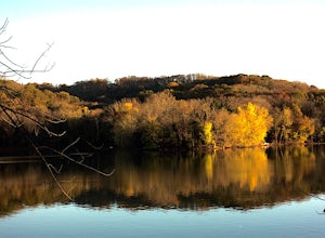
4.02.6 miIf you want a break from the city, take an early morning hike around Radnor Lake. Start this quiet trek by arriving at sunrise to snag a parking spot at the East Parking Lot. Walk down Otter Creek Road until you see the Lake Trail on the right. From there, enjoy a 1.4 mile scenic hike through the...Read more -
Tullahoma, Tennessee
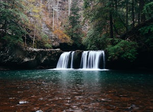
Hike to Lower and Upper Busby Falls
4.82 mi / 275 ft gainShort Springs Natural Area is where these falls are located. There is a decent amount of hiking trails that are a nice getaway for a day to hang out at for waterfalls. Put into your gps "machine falls parking." The gps will take you to the exact parking area. The directions go as follows from Nas...Read more -
Pikeville, Tennessee
Hike to Rockhouse and Cane Creek Falls
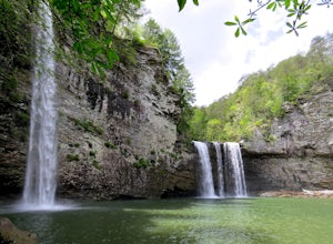
5.01 mi / 500 ft gainFall Creek Falls State Park is home to multiple waterfalls. The main attraction and biggest waterfall, Fall Creek Falls, is often tourists' main destination, but I encourage you to visit the base of Rockhouse Falls and Cane Creek Falls to enjoy some quiet solitude and get away from the usual week...Read more -
Mount Pleasant, Tennessee
Stillhouse Falls
5.01.23 mi / 295 ft gainThis waterfall is a fun short hike that can be done quick, or a nice place to hangout for the day in your hammock to read a book! From Nashville, take I-65 south and take the Saturn Parkway toward Columbia. Turn right on Hwy 43 and proceed about 21 miles. The natural area parking area is on the ...Read more -
Sevier County, Tennessee
Little River Trail to Backcountry Campsite #30
5.012.34 mi / 412 ft gainThe trailhead parking area is large but if no spaces are available additional parking can be had at the Jake's Creek trailhead at the top of the hill and to the right of the Little River trail parking lot. After parking, the trailhead itself will be to the left of the parking area. Parking Lot Co...Read more

