Dripping Springs, Texas
Top Spots in and near Dripping Springs
-
Liberty Hill, Texas
Hike the Good Water Trail
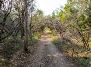
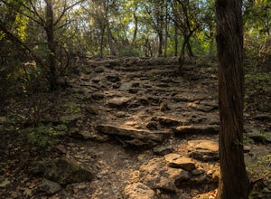
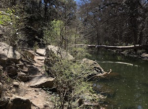
5.012.6 mi / 1270 ft gainThe Good Water Trail which is part of the larger Good Water Loop, is a 12.6 mile point-to-point hike. This trail is heavily trafficked by both hikers and mountain bikers alike. It's a great trail for scenic views, nature, and wildlife. Please be advised that the trail is severely rocky and uneven...Read more -
Cedar Creek, Texas
Pine Ridge Overlook
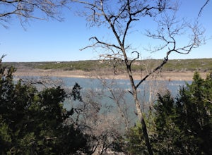
4.52.95 miPine Ridge Overlook is one of the longest hikes at McKinney Roughs Nature Area offering 2.7 miles through piney woods that overlook valleys and offer glimpses of the Colorado River. McKinney Roughs is considered a nature and learning park and requires a $5 entrance fee per-person at the Visitor ...Read more -
Georgetown, Texas
Good Water Loop
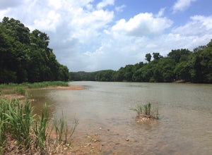
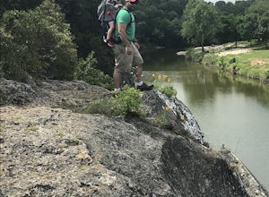
5.025.58 mi / 2241 ft gainThe Good Water Loop is a loop trail around the San Gabriel River through Russel Park and Sawyer Park. Just outside of Georgetown, Texas, this trail is perfect for a lengthy trail run or for an overnight backpacking trip. This trail is open year-round, and dogs are allowed to use this trail if kep...Read more -
Georgetown, Texas
Hike the San Gabriel River Trail
7.6 mi / 498 ft gainThe San Gabriel River trailhead is found within Cedar Breaks Park, just northeast of Georgetown, Texas. The trail is a 7.6 mile moderate out-and-back trail. The trail is heavily trafficked and even more so on weekends. There are several inclines and declines, but nothing too significant. The trai...Read more -
Georgetown, Texas
Hike Good Water Trail Loop From Cedar Breaks
10.1 mi / 688 ft gainThe Good Water Trail Loop from Cedar Breaks is a 10.1 mile loop hike that begins within Cedar Breaks Park, just northeast of Georgetown, Texas. The trail is heavily trafficked and even more so on weekends. There are several inclines and declines, but nothing too significant. The trail has rough t...Read more -
Georgetown, Texas
Crockett Gardens and Falls
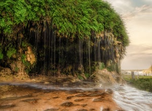
4.57.68 mi / 1030 ft gainThis is a 7.6 mile out-and-back trail snaking along the banks of Lake Georgetown. The trailhead is located in Cedar Breaks Park. There is no fee to hike the trail however there are fees for camping, boating, or picnicking so be sure to tell the attendants you are just there to hike. Once through ...Read more -
Georgetown, Texas
Hike the Pickett Trail
3.51.7 mi / 66 ft gainThe trail features a gorgeous river, and is enjoyable for all skill levels. Dogs are allowed to use this trail, but must be kept on leash. Parking at Blue Hole Park is relatively easy. Once parked, head west down the river for about a quarter mile and you'll find some picnic tables and a pavili...Read more -
Georgetown, Texas
Hike San Gabriel River From Blue Hole
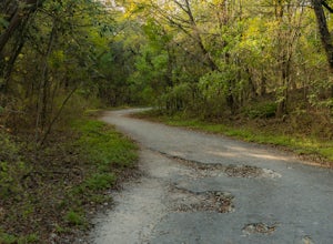
10.4 mi / 380 ft gainSan Gabriel River from Blue Hole is a 10.4 mile out and back hike that follows along the North San Gabriel River in Georgetown, Texas. The trail is moderately trafficked. A large majority of the trail is paved, shaded, and well-maintained. It provides beautiful views of the river with an abundan...Read more -
Georgetown, Texas
Blue Hole in Georgetown
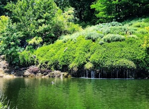
5.0Head to the location pin and you will find free parking. Get out and head north on S Rock Street and you will come across a wide sidewalk that runs parallel with the South Fork San Gabriel River. Look East and you will see the Blue Hole about 600ft away. The waterfall has 3 levels. The first leve...Read more -
Boerne, Texas
Paddle the Guadalupe River at Sisterdale
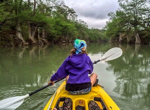
5.0Take the short drive up to the friendly little town of Sisterdale to find the General Store. Here you can safely leave your vehicle, rent kayaks and arrange shuttles for your trip of choice. There are plenty of different stretches of river to fit any adventure from short day floats to multi-day k...Read more -
Burnet, Texas
Camp at Inks Lake's Pecan Flats
5.02 miInks Lake is located northwest of Austin and is home to about 200 campsites. For a more unique experience and to be set away from the parks many visitors, choose the Pecan Flats Trail Primitive Camp which is about a mile hike from the Pecan Flats trailhead.Once you enter the park, the Pecan Flats...Read more -
Burnet, Texas
Hike the Inks Lake State Park Trail
4.04.7 mi / 347 ft gainThe Inks Lake State Park Trail is a 4.7 mile loop trail located within Inks Lake State Park, just outside of Burnet, Texas. Only a small portion of the trail follows the lake, then it veers off through the rocky and hilly terrain of the Texas Hill Country. The trail is only partially shaded at ti...Read more -
Boerne, Texas
Hike the Prairie, Creekside, and Woodlands Trails
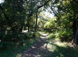
1.5 mi / 29 ft gainThe trail is used for hiking, trail running, horseback riding, and wild life viewing. The trail is usable year-round and is good for all skill levels. Dogs are allowed on the trail with a leash. The trails are well maintained.Read more -
Comfort, Texas
Camp & Mountain Bike at Flat Rock Ranch
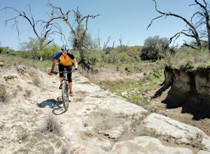
5.0About 45 miles northwest of San Antonio is Flat Rock Ranch. The ranch has 1300 rugged acres that have been in the same family for over 100 years. They raise Black Angus cattle and Angora goats, in addition to building a 27 mile, single track trail system with a few double track trails as well. Th...Read more -
Bastrop, Texas
Bike the Lost Pines of Bastrop
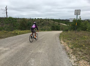
13 mi / 823 ft gainIn the fall of 2011, the most destructive fire in Texas history burned through Bastrop, just 45 minutes east of Austin, TX. This makes for an interesting, and eerie, bike ride. As you ride through the park, you can see the extent of damage the fire caused. It's also amazing to see the vegetation ...Read more -
San Antonio, Texas
Hike the Mud Creek Loop at McAllister Park
1.5 mi / 181 ft gainI love McAllister Park. Sure it can get a little stinky after the torrential Texas rains sweep through, but on a clear, dry day you can always find a new and LOVELY trail. The Mud Creek Loop (or the Green Loop) is a 1.5 mile dirt trail used by hikers and mountain bikers. The trail itself is rela...Read more

