Iron County, Utah
Looking for the best photography in Iron County? We've got you covered with the top trails, trips, hiking, backpacking, camping and more around Iron County. The detailed guides, photos, and reviews are all submitted by the Outbound community.
Top Photography Spots in and near Iron County
-
Hurricane, Utah
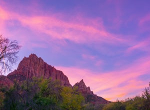
Camp Under Zion's Watchman
4.3Watchman Campground is one of the most popular campgrounds at Zion National Park. With a prime location only a ¼ mile away from the South entrance and gorgeous scenery right outside of your tent, including the tall sandstone cliffs that surround it, it’s easy to see why this campground is everyon...Read more -
37.475289,-112.240302
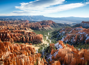
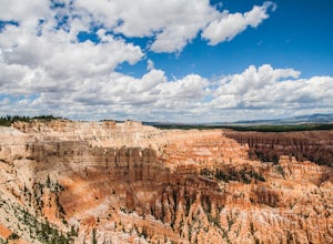
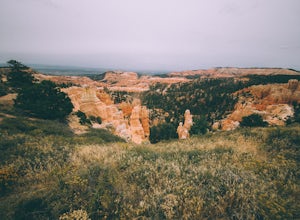
Hike Bryce Canyon's Riggs Spring Loop
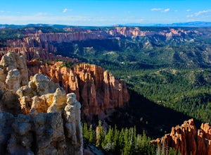
5.08.71 mi / 2044 ft gainBryce Canyon National Park in Utah is a spectacular place. It really has to be seen to be believed. Some of the most scenic parts of Bryce are easily accessible by the average visitor via car-accessible overlooks. However, if you're not into crowds or want to hike/backpack in Bryce...there are so...Read more -
Virgin, Utah
Bike "Holy Guacamole" Outside of Zion NP
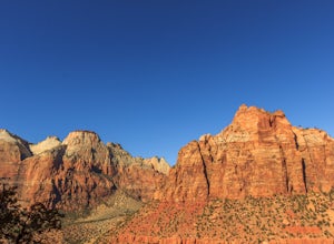
4.011 mi / 600 ft gainThis incredibly scenic ride is just out of Zion National Park and is a great place to escape the tourists. The ride starts at the end of Dalton Wash Rd just off of Route 9. High clearance vehicles are recommended and one should not attempt to drive this road in wet conditions. If you are having t...Read more -
Virgin, Utah
Camp on Dalton Wash Road
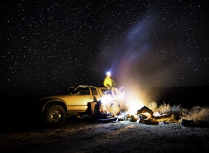
5.00.5 mi / 500 ft gainZion National Park. Truly one of the beauties of the American Southwest. With red walls and orange sunsets, Zion is a must-see. However, during the busy season of the parks, finding a campsite that hasn't been snagged can be difficult. That's why I'd suggest looking for a quieter, equally as beau...Read more -
Bryce, Utah
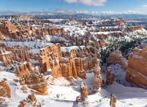
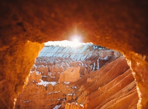
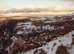
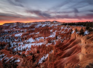
Winter Camping in Bryce Canyon National Park
5.0The incredible views at Bryce Canyon National Park can be described with little else than a “Wow.” During a snowy winter, especially, these sights are not to be missed.There is only one campground open during the winter, Sunset Campground, and it is first come, first serve. Most visitors shy away...Read more -
Bryce, Utah
Navajo Loop and Queens Garden Trail
4.92.93 mi / 679 ft gainThere are many many trails that explore the hoodoos of Bryce Canyon and this is just one option of a combination of trails that is about 3.5 miles. The Navajo trail begins at Sunset Point and you head straight down dozens of switchbacks to what is called "Wall Street". It doesn't take long to get...Read more -
Bryce, Utah
Peek-a-Boo Loop in Bryce Canyon
4.54.98 mi / 1388 ft gainThis 5 mile hike begins at an elevation of 8000' at the Navajo Loop trailhead at Sunset Point. The view from the lookout of Sunset Point is only just a small taste of the sweeping vistas you will see on the hike. From Sunset Point follow the sign for the Navajo Trail and begin descending into a s...Read more -
Bryce Canyon City, Utah
Tower Bridge via Fairyland Loop
4.03.56 mi / 935 ft gainGetting there is half the fun on this hike below the canyon rim. While there are fewer hoodoos in this area of the park, the scenery is still incredible and the crowds are much lighter. Starting at Sunrise Point, the trail boasts big views immediately. During the first mile you can look out a...Read more -
Bryce, Utah
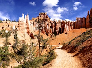
Wall Street Loop in Bryce Canyon
4.73.25 mi / 610 ft gainHoodoos? What's that you say? Hoodoos are these amazing rock formations that Bryce Canyon is famous for. This hike is hands down the best way to see the hoodoos of Bryce Canyon. This hike allows for stunning lookout points from the rim and the experience of hiking through the hoodoos of the cany...Read more -
Bryce, Utah
Bryce Canyon Scenic Drive
4.520.8 mi / 2516 ft gainInspiration Point: All who look out from this point are bound to be inspired. The intricacies of the hoodoos and their formation through the erosion of the Claron Formation is simply beautiful. You get the most spectacular perspective of the main amphitheater in Bryce Canyon here. Swamp Canyon: ...Read more -
Bryce, Utah
Hiking Bryce Canyon's Rim Trail
4.411.01 mi / 1342 ft gainThis popular hike in Bryce Canyon National Park offers up breathtaking views from just about every step. While it can be as long as 11 miles out and back from Fairyland Point to Bryce Point, multiple pull outs allow driving between the different points providing as long or short as a hike as you ...Read more -
Tropic, Utah
Under the Rim Trail to Swamp Canyon Camp
5.023.79 mi / 5794 ft gainThis trail is just about the only way I would see Bryce Canyon. When we initially drove in it was like we were at Disneyland, with crowds of people everywhere. We soon discovered, however, that very few people enter Bryce Canyon's backcountry. We chose to visit Bryce in July due to it's higher el...Read more -
Bryce, Utah
Hike the Fairyland Loop Trail at Bryce Canyon NP
4.77.8 mi / 1545 ft gainLet's face it: Bryce Canyon National Park is stunning. Its remarkable and unique hoodoos bring people from all over the world, and lots of them. If you're looking to enjoy this incredible park with a little more solitude than the main lookouts or the more popular Under the Rim trail, make sure to...Read more -
Rockville, Utah
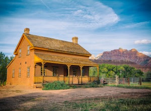
Grafton Ghost Town
4.8Grafton Ghost Town is an abandoned small town 7 miles outside Zion National Park and the modern towns of Rockville and Springdale, Utah. To get there from Highway 9, get off on Bridge Lane residential road and cross the Virgin River on a historic single track iron bridge- then head west. At th...Read more -
Toquerville, Utah
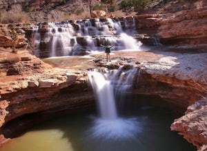
Toquerville Falls
4.811.75 mi / 2044 ft gainToquerville Falls is a hidden waterfall nearby a small town named Toquerville. The road is rugged - saying rugged is kind of an understatement. Medium or high profile 4x4 is recommended. I drove a Toyota FJ Cruiser and it took me about half an hour to get there from Toquerville. The picture doesn...Read more -
Rockville, Utah
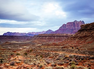
Camp off the Smithsonian Butte Backcountry Byway
5.09.5 mi / 800 ft gainSmithsonian Butte Backcountry Byway is gorgeous 9.5 mile road that runs between Rockville near the entrance to Zion National Park and Apple Valley UT, and affords excellent places to camp & boondock *as long* as it is 0.5 miles from the road itself (and there are numerous turn offs). To get ...Read more

