Covington, Virginia
Top Spots in and near Covington
-
Waiteville, West Virginia
Hanging Rock Raptor Observatory
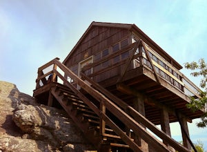
4.81.93 mi / 381 ft gainLocated on Limestone Hill Road north of Waiteville, WV at about 3800 feet above sea level is an old Fire watch tower. The tower, built in 1956 was abandoned in 1972. In 1983 the US Forest Department acquired this area as part of the Jefferson National Forest. Since then the Tower has become know...Read more -
Blue Ridge, Virginia
Snowshoe the Blue Ridge Parkway
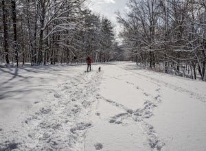
3.3We don't get a ton of snow here in Virginia, but when we do, the Blue Ridge Parkway can be a great place to get out and enjoy a day of snowshoeing or cross country skiing. It's also a great opportunity to get your pup out and let him work out some energy as the chances of running into anyone are ...Read more -
Natural Bridge Station, Virginia
Hike Devil's Marbleyard
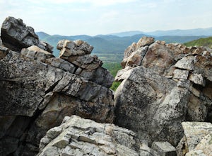
5.03.24 mi / 1421 ft gainWant to scale the side of a rock face? If you do, I highly suggest adding this adventure to your list. Hiking to the marbleyard and back to the parking lot will have you at a 3 mile journey. How many hours will it take to hike the trail and tackle Antietam Quartzite boulders larger than cars you ...Read more -
Hillsboro, West Virginia
Hike High Rocks
5.03.1 mi / 376 ft gainTo reach High Rocks trailhead, drive about 3.3 miles along West Virginia’s Highland Scenic Highway (HW150) from Cranberry Mountain Nature Center. The parking lot and trailhead will be on the right side of the road. The High Rocks trail is 3.1 miles out and back and is fairly flat as it follows a ...Read more -
Rockbridge Baths, Virginia
Fly Fish Goshen Pass
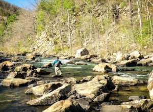
5.0The fly fishing on the Maury River is one of a kind through the Goshen Pass. The Pass is littered with huge boulders, which actually makes it possible to fish without waders, although it's much easier and more enjoyable with waders.From Lexington, VA, take Route 39 towards Goshen for approximatel...Read more -
Rockbridge Baths, Virginia
Rock Climb at Goshen Pass
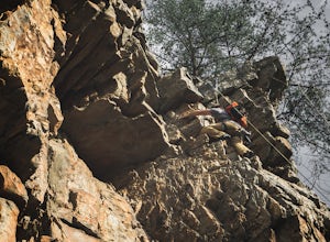
5.0Goshen Pass is a beautiful area for kayaking and fishing in Bath County, Virginia near Lexington. But not as well known is the fact that there are a few places that are great for rock climbing. You'll want to park at the swinging bridge which is two miles past the picnic area on route 39 once you...Read more -
Hillsboro, West Virginia
Walk Around the Cranberry Glades, Monongahela NF
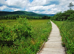
4.80.6 mi / 0 ft gainFrom the parking lot, the boardwalk trail breaks off of the right side of the lot. The boardwalk loop should be done in a clockwise direction and there are signs to direct you. The 1/2 mile boardwalk offers great views of the surrounding bog and mountains. The boardwalk itself is skirted by fe...Read more -
Buchanan, Virginia
Hike to Fallingwater Cascades
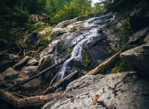
4.5The trailhead for this hike is at the same parking area for the Flat Top Trail. From the Peaks of Otter Visitor Center, travel north up the Blue Ridge Parkway for about 3 miles, where you will come to small parking area. It is quite tiny, and probably holds around 10 vehicles, but there was only ...Read more -
Buchanan, Virginia
Hike Flat Top Mountain
4.5From the Peaks of Otter Visitor Center, travel north up the Blue Ridge Parkway for about 3 miles, where you will come to small parking area for the Flat Top Trailhead. The parking area is quite tiny, and probably holds around 10 vehicles, but there was only one other car there when I went. It's p...Read more -
Bedford, Virginia
Hike the Harkening Hill Loop
3.33.3 mi / 850 ft gainTo get to the trailhead, pull into the Peaks of Otter Visitor Center off of the Blue Ridge Parkway and park there. Proceed to the outdoor amphitheater behind the center. At the rear of the amphitheater there is a large sign showing Harkening Hill and other nearby trails, here the trail begins. Th...Read more -
Bedford, Virginia
Sharp Top Trail
4.72.91 mi / 1296 ft gainOnce thought to be the highest peak in Virginia, this 2.5 hour hike is one that will leave you speechless at the top. Park at the Peaks of Otter Nature Center (which is now closed). The trailhead is located to the right of the building. You will cross over a paved bus road soon after beginning th...Read more -
Natural Bridge Station, Virginia
Swim at Arnold Valley Pool
4.6Arnold Valley Pool might be a couple hundred feet from the road but most people don’t even notice when they pass by. This swimming hole is located on the same road as Devil’s Marbleyard and is the perfect place to cool off after the intense hike at the Marbleyard or on any hot summer day. The swi...Read more -
Buchanan, Virginia
Hike Apple Orchard Mountain
4.04 mi / 400 ft gainThe top of Apple Orchard Mountain is easily accessible via the Appalachian Trail. Access the trail at the Sunset Field Overlook at MP 78.4 on the Blue Ridge Parkway. The concrete path will end shortly and turn into a blue blazed trail. Follow this for 0.25 miles until it intersects the Appalachia...Read more -
Hillsboro, West Virginia
Hike the Falls of Hills Creek, Monongahela NF
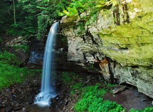
5.01.8 mi / 300 ft gainFrom the parking lot, the paved handicap-accessible trail switchbacks to a view of the upper falls (20'). The falls are a bit hard to see from the viewpoint, so it's best to continue down the trail. At the upper falls the trail changes to wooden stairs that descend gradually down. You will cross...Read more -
Hillsboro, West Virginia
Williams River Overlook
This scenic overlook is along the Highland Scenic Highway. The highway runs through the Monongahela National Forest. The overlook has an amazing view and is a great area to explore. There are two trails that lead off from the overlook and they have a gorgeous spruce forests.Read more -
Big Island, Virginia
Hike to Little and Big Rocky Row
5.010.8 mi / 2700 ft gainStarting at the James River Footbridge, which is the longest foot traffic only bridge on the entire Appalachian Trail. Head north on the Appalachian Trail. You will quickly cross over Rt. 501. After a mile of hiking through the woods skirting the Rocky Row Run stream, you will cross over Forest ...Read more

