Speedwell, Virginia
Top Spots in and near Speedwell
-
Sparta, North Carolina
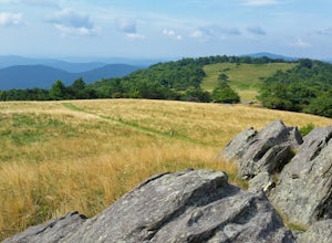
Hike the Bluff Mountain Trail
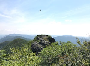
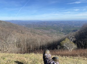
1.8 mi / 270 ft gainBefore you head out, check the status of the Blue Ridge Parkway (it periodically closes during the winter). The entire Bluff Mountain Trail is a 7.1 mile trail that traverses the Doughton Park Area along the Blue Ridge Parkway. To do this particular hike, park at the bathrooms in the Doughton P...Read more -
Draper, Virginia
Bike the New River Trail
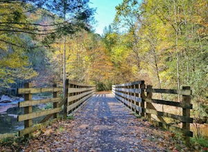
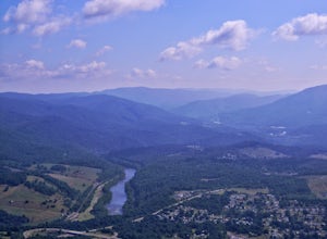
5.057 miThere are several locations to begin your trek on the New River Trail, but our favorite is the Draper Valley area. The pin on the map will take you right to the parking lot. There is a $5 state park fee and a self-pay envelope station. From here we head south, and after about a mile you catch you...Read more -
Traphill, North Carolina
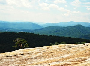
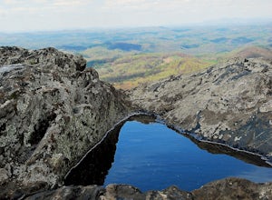
Hike the Stone Mountain Loop
4.5This is a strenuous 4.5 mile hike beginning from the Lower Parking Lot in Stone Mountain State Park (for a 5.2 mile hike, begin at the Upper Parking Lot). From the lot, take the trail by the bathroom. Keep right at the first trail intersection, then left at the second trail intersection to stay ...Read more -
Traphill, North Carolina
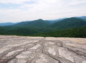
Hike to Wolf Rock and Cedar Rock
5.0This easy 3.0 mile hike begins at the Lower Trailhead Parking Lot at Stone Mountain State Park and includes a 400' ascent to two granite outcrops with nice views. This hike can be combined with the Stone Mountain Loop hike for a 6.5 mile strenuous hike.From the parking lot, walk towards the strea...Read more -
Pearisburg, Virginia
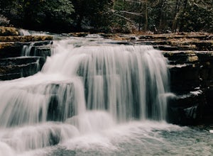
Photograph Dismal Falls
4.50.1 mi / 0 ft gainExplorers in Southwest Virginia run into a common problem: local hikes and waterfalls are often saturated with college students out enjoying a warm day. While it's wonderful to have so many people appreciating the beauty of the Jefferson National Forest, it can be difficult to find a remote, quie...Read more -
Hays, North Carolina
Hike along Basin Creek in Doughton Park
5.011 mi / 1800 ft gainA treasure in North Carolina that doesn't get as much attention as it should, Doughton Park has some of the best trails around. It is the largest park operated by the Blue Ridge Parkway and has over 30 miles of trails available. The parking area for the Basin Creek Trail is small, but rarely cro...Read more -
Dublin, Virginia
Camp at Claytor Lake State Park
4.0Claytor Lake is a very well maintained state park in Dublin, VA. There are four campgrounds available. Campgrounds A, B and C are mostly for tent camping with no electric or water hookups, while campground D accommodates RV units with water and electric hookups.Claytor Lake is idea for families l...Read more -
Creston, North Carolina
Three Top Mountain
4.2 mi / 1260 ft gainThree Top Mountain sits within the same vicinity of Elk Knob. The mountain gets its name from its three prominent rock projections at its peak. The highest point, unofficially named “Big Rock”, is at an elevation of 5020 feet. Prior to the originally named rock peak, you will arrive at Huckleb...Read more -
Damascus, Virginia
Bike the Virginia Creeper Trail
5.017 miThis multi-use (hiking, biking, horseback riding) rail-trail stretches 34 miles from Abingdon, Virginia to Whitetop, Virginia, passing through forests in the Blue Ridge Mountains, small farming communities in the countryside, and small historic towns.While you can pick up the trail at any point, ...Read more -
Shady Valley, Tennessee
Explore Backbone Rock and Falls
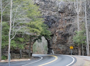
4.7First, from the parking lot, there is a trail which climbs up to walk on top of the rock. The top of the rock is narrow, but has hand rails to hold on to. Once finished walking on top of the rock, cross the road (be extremely careful) and walk away from the tunnel. Here is a good angle to take a...Read more -
Purlear, North Carolina
The Lump Trail
4.00.27 mi / 82 ft gainThe Lump Trail is an out-and-back trail where you may see beautiful wildflowers located near Purlear, North Carolina.Read more -
Willis, Virginia
Hike Buffalo Mountain
4.72 mi / 700 ft gainCOVID-19 CLOSURE: Due to Covid-19, this trail will be closed effective April 10, 2020 at 8 PM until June 24, 2020. A short 1.0 mile hike to the summit with 700’ elevation gain, the trail switchbacks steeply up to the exposed rocky summit. To the north you can see Sharp Top and Flat Top at the Pe...Read more -
Narrows, Virginia
Hike Sentinel Point and Mill Creek Falls
5.07.8 mi / 1800 ft gainThere are many trails in the area so here is a map to start out because it can get confusing:http://gilescounty.org/images2/Map-Town%20Farm-Hiking%20Trails%20%282010%29.pdf.From the parking area, keep to the left side of the stream and head up the gravel road. You'll soon come to the Mill Creek ...Read more -
Purlear, North Carolina
Cascades Trail
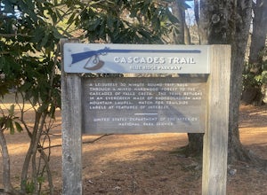
5.00.86 mi / 220 ft gainCascades Trail is an out-and-back trail that takes you by a waterfall located near Deep Gap, North Carolina.Read more -
Pearisburg, Virginia
Hike Angels Rest and the Wilburn Valley Overlook
4.6For a tough hike with rewarding views, check out Angels Rest and the Wilburn Valley Overlook. Easily accessible from US-460 near Pearisburg, this hike along the Appalachian Trail gains a total of 1600’ elevation is a 4.6 mile round trip hike. Angels Rest is a large boulder that overlooks the New...Read more -
Blacksburg, Virginia
Float New River
5.0Starting at the "falls" below the New River Junction you can enjoy a three day float trip down to Bluff City near Pearisburg. [Tangent Outfitters in Pembroke can rent you kayaks and shuttle you to the start point and pick you up at the end point if you don't have 2 vehicles to leave] Trip can be ...Read more

