Speedwell, Virginia
Top Spots in and near Speedwell
-
Meadows of Dan, Virginia
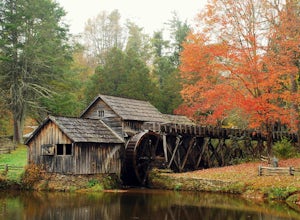
Photograph Mabry Mill
4.7Mabry Mill is one of the most photographed spots on the Blue Ridge Parkway, and rightfully so. Located at MP 176.1 the mill is beautiful in any season and easily accessed from the parking lot. Since this place is so popular, be prepared for crowds.This place is a nice " leg-stretcher" if driving ...Read more -
Saltville, Virginia
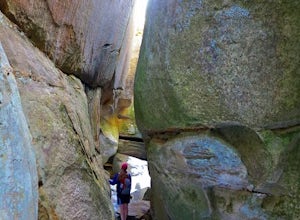
Hike the Great Channels
4.86 mi / 1200 ft gainPark at the parking lot at the crest of Clinch Mountain at Hayters Gap on Rt. 80, and walk along the road (Raven Ridge Road) behind the gate. The trail is fairly easy with minimum elevation gain and follows an old road bed almost the whole way. Be sure to keep to the left when the road splits and...Read more -
Todd, North Carolina
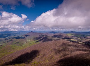
Hike the Elk Knob Summit Trail
5.03.8 mi / 1000 ft gainThere are no bathrooms at the trailhead, so if needed, drive a little past it to the park bathrooms on the left. Park at the summit trailhead and start your hike on the new gravel path. The trail gains 1000 ft in elevation in just under 2 miles so take your time if need be - and bring plenty of w...Read more -
Newport, Virginia
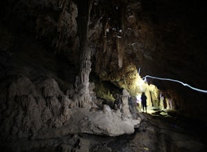
Hike through the New River Cave
4.72 mi / 332 ft gainAfter reaching the parking area, cross the road and continue up the trail for about 0.3 miles. At the kiosk, make sure to register in order to indicate that you are going into the cave. After passing the kiosk and some rocky portions of the trail, you will approach the cave entrance. The cave goe...Read more -
Narrows, Virginia
Rice Fields via Appalachian Trail
5.05.24 mi / 1302 ft gainThis hike begins on the Appalachian Trail just north of Pearisburg, Virginia. To get to the trail head, take Route 460 and turn on to Clendennin Road(Route 641). Take Clendennin road 1.5 miles and then turn left on to Pocahontas road. In about 300ft you will pass a cattle grate and an old barbed ...Read more -
Princeton, West Virginia
White Oak Falls via Brush Creek Falls Trail
3.69 mi / 574 ft gainThis is a wonderfully easy hike to White Oak Falls. After visiting Bush Creek Falls, keep walking down the trail. You'll enter the Bush Creek Nature Preserve area. If you visit after heavy rains, please note that your feet will get wet. There are numerous cascades that come down and cross over t...Read more -
Princeton, West Virginia
Brush Creek Falls
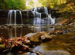
4.50.5 mi / 75 ft gainBrush Creek Falls is a beautiful 25' waterfall that spans across Brush Creek. It is accessed via a short 0.5 mile hike with minimal elevation gain. From the parking area on Brush Creek Falls Road, take the trail to the right of the picnic shelter. This easy and relatively-flat trail through rhod...Read more -
Floyd, Virginia
Hike Rock Castle Gorge
4.0This 10.8 mile loop is a very demanding, but very rewarding hike that will take most of the day to complete. The hike can be started from many different locations but in this write-up it starts at the Saddle Overlook on the Blue Ridge Parkway and the loop is in the counter-clockwise direction.Fro...Read more -
Camp Creek, West Virginia
Photograph Mash Fork and Campbell Falls in Camp Creek SP
5.0Right off interstate I-77, Camp Creek State Park has two waterfalls that you can easily access: Mash Fork Falls and Campbell Falls. These falls can both have very low flows in late summer, so try to plan your visit for times of higher flows (early spring or after a rain). Mash Fork Falls is in th...Read more -
Blacksburg, Virginia
Hike the Coal Mining Heritage Park and Loop Trail
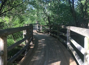
5.01 miThis is a part of the Huckleberry Trail (which is paved), but off of it is the dirt hiking/walking trail loop. It is a really fun area to explore, and the parts that are on the Huckleberry have plaques with historical information on it which is all very interesting. It also has a beautiful wooden...Read more -
Ripplemead, Virginia
Cascade Falls
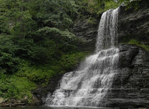
4.93.81 mi / 732 ft gainThe 66' Cascade Falls located in Giles Count is arguably one of the most beautiful waterfalls in Virginia. This classic hike is 4.0 miles and gains 800' in elevation. Located in Pembroke, Virginia, access the trail head by taking Cascade Drive (VA-623) off of US-460 and drive 3.3 miles to the p...Read more -
Ripplemead, Virginia
Hike Barney's Wall
4.68.4 mi / 1600 ft gainThis hike begins in the parking lot for Cascade Falls. Keep left at the first and second intersections to stay on the Upper Trail. At the third intersection, stay straight (don't turn right) to stay on the Conservancy Trail.Follow the Conservancy Trail for 0.4 miles, and continue on it when it br...Read more

