Deming, Washington
Looking for the best hiking in Deming? We've got you covered with the top trails, trips, hiking, backpacking, camping and more around Deming. The detailed guides, photos, and reviews are all submitted by the Outbound community.
Top Hiking Spots in and near Deming
-
Deming, Washington
Hike to Racehorse Falls
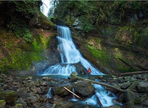
3.7Racehorse Creek is broken up into four distinct waterfalls that drop a total of 140ft through a relatively shallow gorge. The first two waterfalls are punchbowl-type falls that have deep holes at their bases. Immediately below the second waterfall, the creek descends rapidly before it arrives at...Read more -
Bellingham, Washington
Hike to Pine & Cedar Lakes
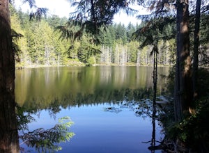
5.05 mi / 1400 ft gainThese two quaint lakes in the Chuckanuts are a must-do for people looking for a day hike, short camping trip or steep trail run in the Bellingham area. Starting at the trailhead off of Old Samish Road, one begins the 2 mile ascent to the two lakes. The first 1,400ft climb has its fair share of up...Read more -
Deming, Washington
Hike Helitrope Ridge
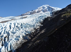
4.75.5 mi / 1500 ft gainStarting at the marked Heliotrope Ridge parking lot of FS Road 39, just 8 miles out of the quaint town of Glacier, Washington, you begin your ascent to the glacier viewpoint. The trailhead sign indicates that it is a strenuous 2,000 ft gain over 2.5 miles up to the overlook.This clearly cut trail...Read more -
Deming, Washington
Hike the Horseshoe Bend Trail
4.06 mi / 210 ft gainLocated just outside the town of Glacier, WA and 40 minutes prior to Mount Baker Ski area, sits the Horseshoe Bend Trail. A simple and straightforward 6 mile out and back route. To get here, take Hwy 542 towards the direction of Mount Baker. About 4 miles after you pass through the town of Glacie...Read more -
Deming, Washington
Hike Skyline Divide
5.09 mi / 2500 ft gainIf driving 13 miles on a forest road, and hiking miles of switchbacks doesn't bother you, your in for one of the most exquisite views that you can get from hiking in Washington state.Just a mile outside of the town of Glacier, turn onto Forest Road 37 and follow it up switchbacks for the majority...Read more -
Ferndale, Washington
Take a Stroll through Hovander Homestead Park
5.01.4 mi / 0 ft gainDriving up to the park entrance: take a right to drive towards the barnyards, playgrounds, covered picnic areas, historic house and community gardens, and access to the Snoqualmie River. Or, drive straight and park outside of the fragrance gardens and historic house/ museum, and take a walk to a...Read more -
Bellingham, Washington
Hike to Fragrance Lake
4.75.5 mi / 950 ft gainTake Chuckanut Drive to the trailhead which is located directly across from the entrance to Larrabee State Park. A small lot in front of the trail has space for 8-10 cars, or you can park at the State Park and walk across the road (carefully!) to reach the trailhead. Either way you will need a Di...Read more -
Deming, Washington
Summit Church Mountain
8.5 mi / 3750 ft gainStart by driving roughly 2.5 miles up Forest Road 3040, conveniently named E Church Mt Road, to the trailhead. The road is bumpy, but lacking the pot-holes that occupy many of the other forest roads. The only issue comes at 2 miles in where a stream runs over the road and has eroded a small ditch...Read more -
Bow, Washington
North Butte via Chuckanut Trail
1.07.71 mi / 2047 ft gainThe HikeThe hike there isn't short, has several steep sections, and ends at the top of the mountain. There are cliff warnings at the top, so be careful as you explore the view! The steepest portions are at the beginning and right at the end. The trail is very well maintained (because it is so pop...Read more -
Bow, Washington
Oyster Dome via Chuckanut Trail
4.36.57 mi / 1857 ft gainThe trail begins on the Pacific Northwest Trail, which ascends quickly up the side of Blanchard Mountain. The trail contains several switchbacks which wind through second-growth alder, Western red cedar, and Douglas fir forest. After about one mile there is an overlook with a bench that offers a...Read more -
Concrete, Washington
Park Butte Lookout
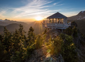
4.57.64 mi / 2100 ft gainThis place is really the stuff of fairy tales. Where else can you find a tiny cabin with 360-degree views of stunning mountain scenery? To the west, you can see all the way to Bellingham and the Puget Sound. To the south and east lie the jagged North Cascades. And the entire northern horizon is ...Read more -
Concrete, Washington
Backpack the Easton Glacier Railroad Grade
10 mi / 3000 ft gainBegin at the Park Butte trailhead, trail 603. Hike past the first Scott Paul trail sign a few hundred feet from the trailhead. Continue on and cross appropriately name Rocky Creek heading up on the Park Butte Trail. Continue up the Park Butte trail passing the Scott Paul trail again at about 4,50...Read more -
Concrete, Washington
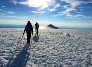
Climb Mt. Baker via the Easton Glacier Route
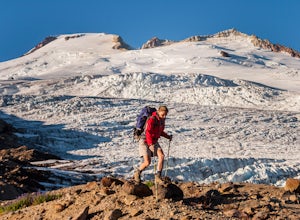
16 mi / 7600 ft gainThe Easton Glacier route is one of the mountain’s most popular and likewise, most crowded. Check out Mt. Baker’s Squak Glacier route or Coleman Deming Glacier route for an alternative climb with similar difficulty.You’ll start out at Schreibers Meadow Trailhead (3,200 ft.). To get there, exit off...Read more -
Concrete, Washington
Climb Mt. Baker via Squak Glacier
10 mi / 7500 ft gainNOTE: THIS ROUTE REQUIRES GLACIER TRAVEL SKILLSMt Baker, or Kulshan, is a remarkable mountain in northwest Washington. Whether you're in Anacortes, Bellingham, Vancouver or on the San Juan Islands you can see Mt Baker standing as a citadel over the Northwest. Unlike the more popular routes like t...Read more -
Deming, Washington
Hike to Sholes Creek Falls
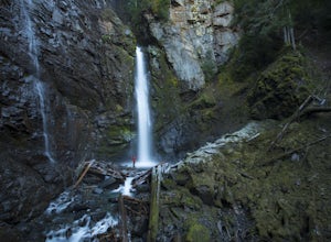
5.0Sholes Creek Falls is not easy to reach, but it is entirely worth the journey. The creek plunges over a two-tiered drop in stages of 62 and 103 feet into a massive amphitheater, which flows into Bar Creek. The waterfall is framed by massive columns of volcanic rock that dwarf the falls, in compar...Read more -
Deming, Washington
Bike to Wells Creek Falls
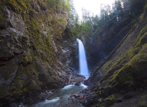
Wells Creek Falls is an incredible waterfall nestled in a tight canyon below Mt. Baker. The falls plunges 93-ft. over a volcanic cliff face and envelops the small amphitheater below in a cloud of mist. From there, Wells Creeks snakes through the canyon and enters Bar Creek on the opposite side of...Read more

