Skykomish, Washington
Top Spots in and near Skykomish
-
Leavenworth, Washington
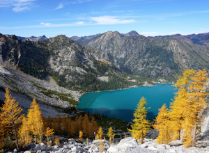
Aasgard Pass via Stuart Lake Trail
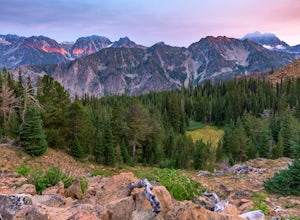
3.511.15 mi / 4560 ft gain“These fleetingly rare sights offer a recipe for what I call ‘the Quest.’ The Quest is the force that motivates us to travel. It’s putting oneself in the perfect place at the perfect time. It’s the insatiable urge to find that quintessential moment.” - Washington AAA Journal The arrival of “gold...Read more -
Leavenworth, Washington
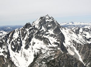
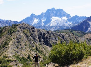
Climb to the Summit of Colchuck Peak
12.5 mi / 5300 ft gainGetting There: From US2 in Leavenworth, Washington, turn onto Icicle Creek Rd. Drive 8.2 miles and turn left on Forest Service Road 7601—you might be able to spot it more easily as the turnoff for the Bridge Creek Campground. In 3.7 miles, you'll arrive at the Stuart Lake Trailhead parking lot; w...Read more -
Leavenworth, Washington
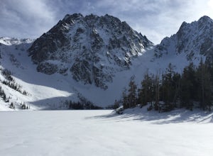
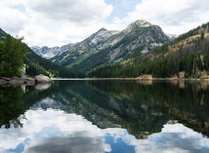
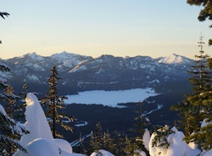
Snowshoe to Colchuck Lake
3.316 mi / 3000 ft gainFrom Leavenworth, head south on Icicle Creek rd for 8.2 miles until you reach USFS rd 7601. This road isn't plowed and is blocked by a locked gate about one quarter mile from where it intersects with Icicle Creek Road (usually from November to May), so parking at the intersection is probably your...Read more -
Leavenworth, Washington
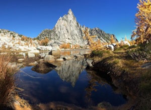
Day Hike the Enchantments
5.018.05 mi / 4675 ft gainStart at the Stuart Lake trailhead, which at 3400' is a full 2000' higher than the Snow Lake trailhead you'll finish at. Put 2.5 easy miles under your feet along Mountaineer Creek before turning left on the trail up to Colchuck Lake. The trail steepens for the next 1.5 miles before popping you ou...Read more -
Leavenworth, Washington
Backpack to Lake Caroline in the Enchantments
5.75 mi / 3100 ft gainFrom Leavenworth, WA head down Icicle Creek road and head to the Eightmile Lake Trailhead.The backpack starts at roughly 3270 feet of elevation and the highest point of the hike is 6300 feet. To start you will hike through a very beautiful and forested area for a while before getting into a burn ...Read more -
Leavenworth, Washington
Eightmile Lake
4.06.76 mi / 1496 ft gainBeginning at the trailhead, fill out a self-issued permit allowing you to stay overnight. Start your trek heading upwards at an elevation of 3300 feet. As you become adapted to the trail, you will start to realize it is maintained and well groomed. In addition, The 1300 feet of elevation gained t...Read more -
Leavenworth, Washington
Climb Cashmere Mountain
4.017 mi / 5700 ft gainTo get to Cashmere Mountain, drive east towards Leavenworth on Highway 2 and turn right on Icicle Creek Road. After 8.5 miles, turn left onto Eightmile Road for 3 miles, and park at the Eightmile Lake trailhead. The hike begins at Eightmile Lake Trail. After 2.8 miles, just past Little Eightmile ...Read more -
Issaquah, Washington
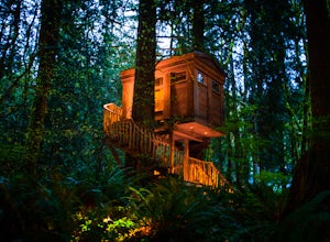
Spend a Night at TreeHouse Point
4.8This is one of the most magical and romantic places on the planet to get a good night's rest. You'll find that words will escape you when it comes to describing how this place makes you feel. With the Raging River as a backdrop, the powerful white noise will put you into one of the deepest sleeps...Read more -
Easton, Washington
Snowshoe to Amabilis Mountain
9.5 mi / 2100 ft gainTo reach Amabilis Mountain, park at the Cabin Creek Sno Park at Exit 63 off I-90. Take the overpass across the highway to the trailhead and strap on your snowshoes. There's a maze of cross-country ski trails, but you'll want to keep to the right and follow the Berg trail for a quarter mile until ...Read more -
Granite Falls, Washington
North Lake via Independence Lake
5.56 mi / 2431 ft gainNorth Lake is everything you could want in a subalpine lake: emerald green hues, cold, clear water, lots of brook trout and far from cell-phone reception. This backpack is perfect when the weather gets hot and sunny, though it does reside in what is known as “the wettest section of the Cascades,...Read more -
Issaquah, Washington
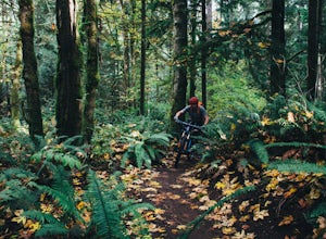
Mountain Bike Duthie Hill
4.76 mi / 130 ft gainDuthie Hill is a premier and beautifully designed mountain bike park set in lush douglas firs and western hemlock forests . Created and maintained by the Evergreen Mountain Bike Alliance (evergreenmtb.org) with the help of King County and volunteers, Duthie Hill although open to hikers, is 100% s...Read more -
Leavenworth, Washington
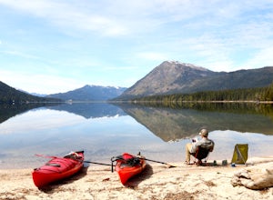
Kayaking Lake Wenatchee
3.0Glacier-fed Lake Wenatchee is only 2 hours east of Seattle, nestled in the Okanogan- Wenatchee National Forest. The park is fully equipped with all the amenities you'd expect - camping spots, a sand/rock beach, picnic tables, bathrooms and a boat launch.Pack up your boats at the south campground,...Read more -
Darrington, Washington
Scramble Mount Pugh
5.011 mi / 5300 ft gainNot for the faint of heart - or those with a fear of heights - Mount Pugh offers some of the most rewarding summit views in the Cascades.Located off the northern end of the Mountain Loop Highway, this is an easy day trip from anywhere in the Puget Sound area. Though finding the trailhead can be t...Read more -
Issaquah, Washington
Grand Ridge Trail
4.07.51 mi / 1125 ft gainThe trail system in the 1,300 acre Grand Ridge Park can currently can be accessed from two lots: High Point and Central Park, with a new lot at Duthie Hill still under construction. To get to the High Point lot take exit 20 off of I-90 (coming from Seattle), take a left and pass under the freewa...Read more -
Granite Falls, Washington
Lake 22
4.65.98 mi / 1434 ft gainIf you're looking for a taste of the Mountain Loop Highway area, but don't have it in you for a longer, steeper journey, look no further than Lake 22. The trail starts out as flat and well-maintained, from the parking lot, before becoming a true mountain rainforest trail. Water and dampness are f...Read more -
Ronald, Washington
Hex Mountain Trail
7.36 mi / 2710 ft gainHex Mountain is a steep but rewarding out and back hike/snowshoe with 360 views from the peak. On a clear day you can see Mount Rainier, the Teanaways, the Stuart range, and many other surrounding peaks. Low avalanche risk makes this an enjoyable winter destination for snowshoers and backcountry ...Read more

