Skykomish, Washington
Top Spots in and near Skykomish
-
Fall City, Washington
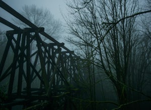
Ride to the Snoqualmie Railroad Trestle
2.3The best way to get the old railroad trestle is by using the Preston-Snoqualmie trail. There is a parking lot for the trail located just across from SE 56th Place, Fall City, Washington, 98024. After parking, hop on your bike and pedal east on the Preston-Snoqualmie trail for about 2 miles.The tr...Read more -
North Bend, Washington
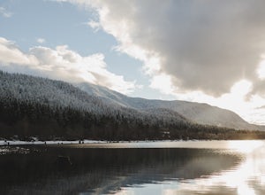
Rattlesnake Lake
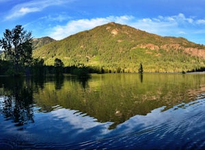
5.0Being only a 10 minute drive off the 90, this Lake is often overlooked by the popular Rattlesnake Ledge hike right above. Take exit 32 from the 90E onto 436th SE Ave and continue onto Cedar Falls Rd SE and continue for about 3 miles. At this point, a parking lot will be on your right that is both...Read more -
North Bend, Washington
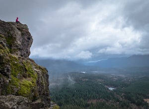
Rattlesnake Ledge
3.95.46 mi / 2096 ft gainRATTLESNAKE LEDGE TRAIL:The hike to Rattlesnake Ledge begins at the trailhead next to the parking lot at Rattlesnake Lake. From here, you can look up and see the Ledge and rock face that you'll be hiking up toward. The trail begins covered under the forest, which can protect from the elements (su...Read more -
North Bend, Washington
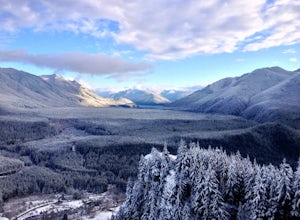
Snowy Hike to Rattlesnake Ledge
4.54 mi / 1160 ft gainThe trail to Rattlesnake Ledge is one of the busiest in Washington. Usually, a Saturday or Sunday is a no go for a lot of avid hikers due to the crowds. Adding a little snow and cold diminishes the crowds nicely. While it is no secret, this hike is popular for a reason. The 2 miles it takes t...Read more -
Granite Falls, Washington
Dispersed Camp near Beaver Creek Group Camp, Mt. Baker Snoqualmie NF
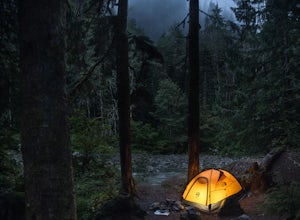
This campsite is located along the Mountain Loop Highway. There are various options for dispersed camping around the area, as well as some you can reserve ahead of time such as the Coal Creek Campground and the Beaver Creek Group Campground. This campsite is located just before Beaver Creek grou...Read more -
Leavenworth, Washington
Day Hike to Lake Ingalls
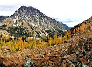
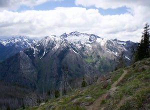
4.39 mi / 2500 ft gainFrom the parking lot you start out on an old miners road that leads to the trail. Keep right at the first fork (left lead to Esmeralda Basin), then in about 2 miles, go left at the next fork (right leads to Ingalls Pass). The trail will climb steadily as you continue. In about another mile you wi...Read more -
Leavenworth, Washington
Mountain Run to Lake Ann and Ingalls
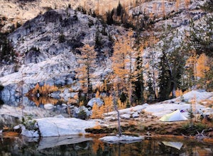
9 mi / 2500 ft gainBoth trails start at the Esmeralda Trailhead, Trail Number 1394. Lake Ann has a handful of folks that you will run into, whereas Lake Ingalls is a well-traveled trail. Both offer camping spots along the trail, and Lake Ann has spots where you can camp by the lake. NO CAMPING ALLOWED at Lake Ingal...Read more -
Leavenworth, Washington
Climb Mount Stuart
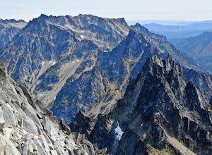
5.0Global climbing legend Fred Beckey once said, "[Mount Stuart is] without a rival as the crown peak in the central Cascades of Washington, Mount Stuart has been pronounced the single greatest mass of exposed granite in the United States".To ascend the mountain by is easiest route, the Cascading Co...Read more -
Ronald, Washington
Camping at French Cabin Creek Rd.
3.0This area is a very secluded camp area, so unless it's a holiday weekend, be prepared to be alone :) It is a very quiet lake and along the roadside there are plenty of spots to hike, camp, and fish by the lake or the Cle Elum river.So bring your day hiking gear and pole as well and head out in th...Read more -
Leavenworth, Washington
Hike Fourth of July Creek to Icicle Ridge
12 mi / 4800 ft gainMost adventurers travel down Icicle Creek Road to visit Colchuck Lake and the Enchantment Basin. But, if you're looking for an adventure for a cool summer morning without the crowds, continue past the Colchuck/Stuart forest road and explore this trail! Expansive views of the entire Stuart range...Read more -
Leavenworth, Washington
The Enchantments: Stuart Lake Trailhead to Snow Lake Trailhead
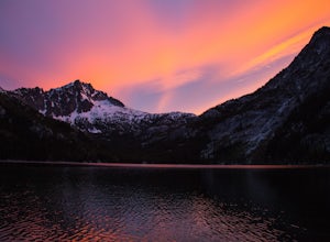
5.018.02 mi / 4626 ft gainThere are a couple different ways to tackle this hike through the stunning Central Cascade region. I recommend checking out this handy resource for more detailed info. Bottom line: this is an absolutely amazing hike for people willing to take a little bit of an ass kicking. Aasgard Pass rises 1,...Read more -
Leavenworth, Washington
Hike to Lake Stuart
4.89 mi / 1665 ft gainBegin this hike at the Lake Stuart trailhead at the end of Eightmile road just outside of Leavenworth, Washington. The trail follows Mountaineer Creek and leads you across a log bridge over the falls. After the bridge, the trail narrows and steepens through several switchbacks. After 2.2 miles...Read more -
Leavenworth, Washington
Scramble to the Summit of Dragontail Peak
16 mi / 7000 ft gainGetting There From Leavenworth, WA, drive Icicle Creek Road for 8.5 miles until you reach Bridge Creek Campground. Turn left here onto Forest Service Road #7601 signed for the Stuart Lake Trailhead. The pavements ends and the road gains elevation quickly as your car transports you high above the ...Read more -
Leavenworth, Washington
Hike to the Enchantments' Horseshoe Lake
1.016 mi / 6000 ft gainGetting There From Leavenworth, WA, drive Icicle Creek Road for 8.5 miles until you reach Bridge Creek Campground. Turn left here onto Forest Service Road #7601 signed for the Stuart Lake Trailhead. The pavements ends and the road gains elevation quickly as your car transports you high above the ...Read more -
Leavenworth, Washington
Ski Tour the Enchantments
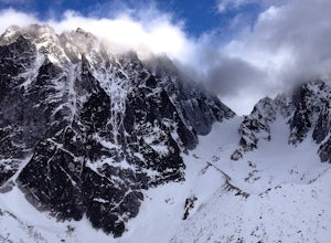
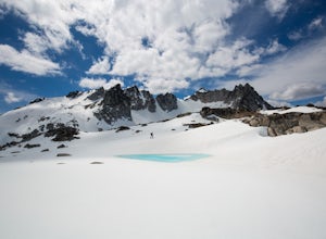
5.0The Enchantments is one of the most beautiful spots in Washington, but rarely visited outside the summer months, when access is merely difficult. But for those brave souls with the knowledge and determination to ski these hallowed slopes, the experience is surreal.The approach up Aasgard Pass is ...Read more -
Leavenworth, Washington
Colchuck Lake via Stuart Lake Trail
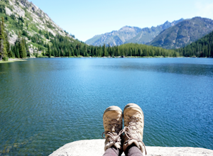
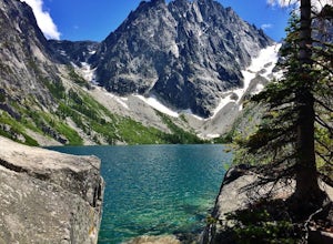
4.48.13 mi / 2156 ft gainTo reach the trailhead, turn onto Icicle Creek Road from US2. Drive 8.4 miles and turn left onto Forest Service Road 7601. Follow the potholed dirt road 3.7 miles to the Stuart Lake trailhead. Parking for about 20-30 cars and a toilet are available in the lot. Northwest Forest Pass required. The...Read more

