Keyser, West Virginia
Looking for the best hiking in Keyser? We've got you covered with the top trails, trips, hiking, backpacking, camping and more around Keyser. The detailed guides, photos, and reviews are all submitted by the Outbound community.
Top Hiking Spots in and near Keyser
-
Davis, West Virginia
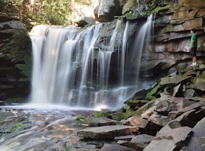
Explore Elakala Falls
3.00.4 mi / 130 ft gainStarting at the Blackwater Falls Lodge, head to the left side of the parking lot, where a trailhead becomes visible. Follow the clearly marked trail down until you reach a bridge which goes over the top of the falls. After the bridge, look for paths to allow you to get to the river level and the ...Read more -
Davis, West Virginia
Dolly Sods Wilderness North Loop via Rocky Ridge Trail
5.012.78 mi / 1378 ft gainThe hike begins at the "Dolly Sods Trailhead Parking" location easily found on Google Maps. The lot is big enough for about 6-8 vehicles. Begin walking at the end of the gravel parking lot/road for about 0.5 miles until you enter the Dolly Sods Wilderness Area in a small grassy field where sever...Read more -
Davis, West Virginia
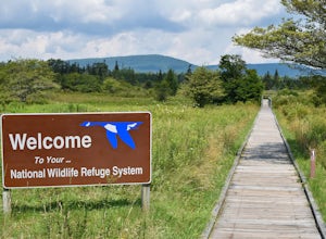
Freeland Boardwalk Trail
4.00.56 mi / 43 ft gainA free entrance and parking area for about a half dozen cars off Freeland Road features this quick adventure for all ages. The Canaan Valley National Wildlife Refuge and Freeland Boardwalk offers a variety of wildlife and environments like Ponds, Wetlands, Forests, and a natural limestone spring....Read more -
Thomas, West Virginia
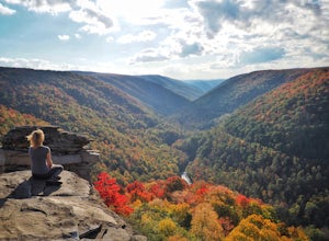
Hike to Lindy Point in Blackwater Falls State Park
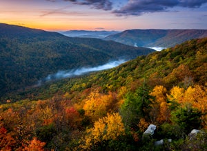
4.80.83 mi / 59 ft gainIf you go to Blackwater Falls State Park for the falls, stay for the overlooks. This one, the most popular in the park, overlooks Blackwater Canyon from 3,000 feet above. Although the parking area at the trailhead is small with room for only 4-5 cars, you can also park along the road or at the ...Read more -
Mathias, West Virginia
Hike Cranny Crow to Millers Rock Loop
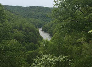
10.6 mi / 2100 ft gainThis is a really good day hike to explore another one of the many fantastic state parks that West Virginia has to offer while avoiding some of the crowds that many of the popular ones have. The main feature of the park is the Cranny Crow Overlook which features views into two Virginia and three W...Read more -
Davis, West Virginia
Hike to Rohrbaugh Cliffs in Dolly Sods
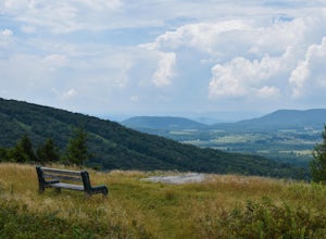
5 miRohrbaugh Cliffs is the social name given to the expansive views found along the Rohrbaugh Plains Trail. This easy hike in the Dolly Sods Wilderness will take you to one of the best overlooks in the area. For a longer or more challenging hike, connect this trail with one of the many others in t...Read more -
Wardensville, West Virginia
Big Schloss via Wolf Gap Trail
5.04.27 mi / 997 ft gainBig Schloss via Wolf Gap Trail is an out-and-back trail that takes you by a river located near Lost City, West Virginia.Read more -
Wardensville, West Virginia
Hike Big Schloss
5.04.2 mi / 1000 ft gainBig Schloss (the German word for “palace”) is a popular hike in the George Washington National Forest. The trailhead is conveniently located at the Wolf Gap Campground. To begin, follow the path behind the restrooms at the parking lot. Cross the paved road where you will find a trail map with ...Read more -
Wardensville, West Virginia
Tibbet Knob via Wolf Gap
5.03.17 mi / 702 ft gainPark for free at Wolf Gap Campground and cross the road where you will pass some picnic tables and campsites. Follow the signs to the yellow-blazed Tibbet Knob trail. In half a mile, there is a little path to a summit on your left where you can catch a glimpse of Mill Mountain and Big Schloss. ...Read more -
Wardensville, West Virginia
Camp at Wolf Gap
5.0Wolf Gap is a FREE year round campground located just outside of Woodstock, VA. It is a great base camp for several scenic hikes like the Tibbet Knob trail (trailhead is just across the road) and the popular Big Schloss trail (trailhead begins at campsite number 9) -- super convenient if you hav...Read more -
Orkney Springs, Virginia
Hike Laurel Run
6.6 mi / 2100 ft gainThere are two parking spots for this trail. Park at the lower lot if the gate is closed, if the gate is open, continue up the road for another mile until you reach another closed gate. Park here. If the gate is closed you will need to hike a mile up the road to get to the trail head.From the seco...Read more -
Ohiopyle, Pennsylvania
Explore Cucumber Falls
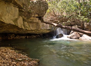
4.30.25 mi / 30 ft gainJust off Kentuck Road, at the southern end of Ohiopyle State Park, you arrive at Cucumber Falls' marked parking lot. Access to this lot is limited (about 20 cars). Most of the time you will be able to find a spot, but when not, parking on the side of the road is perfectly acceptable.Walking down ...Read more -
Parsons, West Virginia
Hike Table Rock
4.71.2 mi / 200 ft gainThis hidden gem is located near Lindy Point and Blackwater Falls State Park. Unlike Lindy Point, which is very popular, hikers are usually able to enjoy the views from Table Rock all by themselves. The Table Rock trail head is located off of Canaan Loop Rd. I highly recommend driving to the tr...Read more -
Mill Run, Pennsylvania
Hike the Bear Run Nature Reserve Loop
4.08 miBear Run Nature Reserve features a number of trail loops that range from 1.7 miles in length to 11.9 miles. By hiking overlapping trails, you can complete an 8 mile hike that passes by Paradise Overlook, which provides great views of the Youghiogheny River Gorge. Start at the trailhead, which i...Read more -
Mill Run, Pennsylvania
Explore Fallingwater
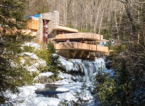
4.8"Fallingwater is the name of a house built over a waterfall in southwest Pennsylvania. Frank Lloyd Wright, America’s most famous architect, designed the house for his clients, the Kaufmann family. Fallingwater was built between 1936 and 1939. It instantly became famous, and today it is a Natio...Read more -
Dunbar, Pennsylvania
Hike the Sugar Run Trail
1.6 miThis trail connects Old Mitchell Trail to Johnathan Run Trail. It is a short but fun hike down to the falls. We parked by the helicopter landing field and the trail head was right by the entrance to the parking lot.The hike down to the falls was nice and easy, but coming back up was tough. The tr...Read more

