Bighorn No. 8, Alberta
Top Spots in and near Bighorn No. 8
-
Kananaskis, Alberta
Hike the Prairie View - Jewel Pass Loop
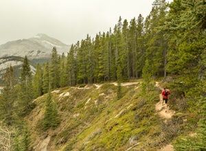
5.09.3 mi / 2050.5 ft gainPark at the Barrier Lake day use area on Hwy. 40. Make your way across the dam heading west. Follow the main trail slightly north west into the trees and begin your ascent. Mostly long switchbacks with some sections getting a bit steeper near the top. As soon as you break through the trees, you'l...Read more -
Kananaskis, Alberta
Raft the Kananaskis River
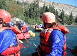
4.7The river is perfect for first time rafters and families, but the Kananaskis River also provides enough thrills for even a seasoned whitewater enthusiast. You will spend approximately 2 hours paddling, surfing and, if you feel brave enough, swimming in this glacial fed river! The section of rive...Read more -
Canmore, Alberta
Climbing at Grassi Lakes
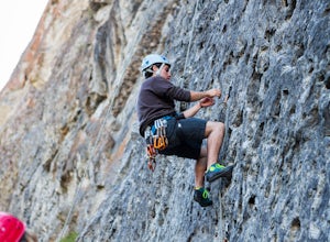
4.0From the parking lot walk about 350 meters back towards Canmore. At this point you will go down the hill towards Grassi Lakes. From here you have your pick of climbs, be warned though the area is a popular, short hike for locals and tourists. Get there early to enjoy some peace and quiet.You will...Read more -
Kananaskis, Alberta
HIke to Barrier Lake Lookout
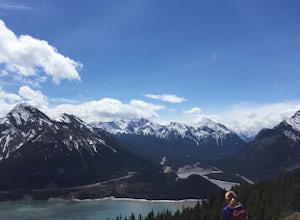
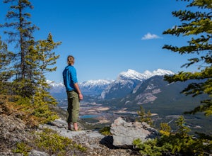
3.3From the parking lot, cross the dam, heading west onto the trail, with the lake on your left. Once you reach the forest, you will come to a 'Y' intersection, from which point you have two options:6.7 miles (10.8 km), 4 hours roundtrip, out-and-back For a shorter hike, go right at the 'Y' intersec...Read more -
Kananaskis, Alberta
East End of Rundle Scramble
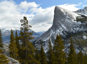
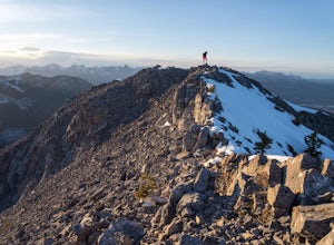
4.44.7 mi / 2880 ft gainThis well marked, fun hike that has a bit of everything, from easy forest walking, to steep slabs, minor hands on scrambling, and a scree slope to the summit.From the parking lot, head north up the hill, where the trail begins around the power poles. There a few different paths to start, so it's ...Read more -
Canmore, Alberta
Ha Ling Sunrise Hike
4.15 mi / 2296.6 ft gainStart at the Goat Creek parking lot and cross the road towards Ha Ling. There is an access road with a gate on the other side. Walk up the road and across the bridge. From there the trail is obvious and will lead you to the summit. Overall it's a fairly easy hike with switchbacksOnce above tree l...Read more -
Canmore, Alberta
Hike Pigeon Mountain
Important note: trail closure from December 1 - June 15th.Altitude: 2,394m (7,852 ft)Elevation gain: 990m (3,247 ft)Round trip: 6-6.5 hours (15 kms)Heading West from Calgary on Trans Canada Highway #1 - take the Dead Mans Flats overpass, and go South for 1 -1.5 kms until you reach a parking lot. ...Read more -
Improvement District No. 9, Alberta
Hike the Cory & Edith Pass Trail
4.09.3 mi / 3002 ft gainGoing west from Banff, take the first exit for Highway 1A (Bow Valley Parkway). Take the first right up to the fireside picnic area and begin your hike here. The first 5kms of the hike climb uphill through the forest, making up most of the 915m elevation gain. Watch for trail markers over the ro...Read more -
Canmore, Alberta
Trail Run on the Wind Ridge-Bow Valley
8.4 miWind Ridge is a 7,217 ft / 2,200 m mountain peak near Canmore, Alberta, Canada, with spectacular views into the Bow Valley. The trail is primarily used for hiking and is accessible from May until November.Take the Spray Lakes Road from the town of Canmore for 22km. The trail head is just below th...Read more -
Sawback, Alberta
Ice Climbing at Bear Spirit
From the parking lot head East for about 200m, to find the trail that heads North. The trail follows the riverbed for about 45 minutes and in parts is washed out. A piece of flagging tape and a downed tree that is used as a bench marks the point where the trail gets tougher. At this point you wil...Read more -
Kananaskis, Alberta
Hike Alberta's Mount Baldy
4.0Rated as moderate to difficult due to scrambling sections. Estimated round trip is 4-5 hours depending on experience. From highway #1, the trailhead is located 13 kms South on highway 40. You will spot a small stream on your left with a small parking area for a few cars. The trail head is often m...Read more -
Sawback, Alberta
Climb Aftonroe
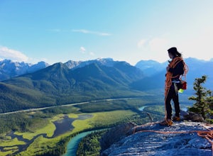
Route on Mount CoryThe spectacular view of the river and forest below is called Backswamp- in the past it was referred to as Aftonroe by a local writer Jon Whyte- The naming of this route was made in his memory5.7 Sport Route- 9 Pitches Approach: Park on the left side of the Bow Valley Parkway, H...Read more -
Sawback, Alberta
Climb Mt. Cory
3.0Park at the viewpoint parking lot on the left side of the highway, approximately 2.8 km (1.7 mi) after turning off of the Trans Canada Highway. The trailhead is easily located on the north side of the highway. The approach is short but steep and sustained. It starts as a trail and finishes as a s...Read more -
Turner Valley, Alberta
Snowshoe to Midnight Peak
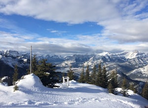
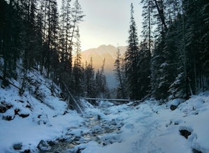
7.5 mi / 3120 ft gainWhen exploring, sometimes the best days are when you bite off a bit more than you can chew and push your limits. On a summer day without a cloud in the sky, Midnight Peak would be challenging, but in winter it's a difficult test to be attempted by the prepared and able.The trail to Midnight Peak ...Read more -
Turner Valley, Alberta
Hike Porcupine Ridge
5.9 mi / 2231 ft gainThis trail was really easy to find and follow, unfortunately that means the description will be short.Park your car at Porcupine Creek on Highway 40 and take off to the southeast! The path follows the creek and requires a couple of creek crossings on makeshift bridges, but once the creek forks yo...Read more -
Sawback, Alberta
Hike Mount Bourgeau
5.012 mi / 2460 ft gainTaking Hwy 1 West of Banff for approximately 8 miles you'll come to the Bourgeau Lake Trailhead. This trail starts with a 4.5 mile, 2460ft elevation through the forest to the beautiful Bourgeau Lake. This glacial tarn signals the start of the alpine and a wonderful morning hike on it's own. From ...Read more

