Lake Louise, Alberta
Looking for the best photography in Lake Louise? We've got you covered with the top trails, trips, hiking, backpacking, camping and more around Lake Louise. The detailed guides, photos, and reviews are all submitted by the Outbound community.
Top Photography Spots in and near Lake Louise
-
Improvement District No. 9, Alberta
Drive the Icefields Parkway
5.0145.45 mi / 6293 ft gainThe Icefields Parkway has been named One of the World's Most Scenic Drives by National Geographic and with all the scenic hikes, stops, and viewpoints, it's easy to see why. Starting at Lake Louise, a friend and I decided to drive up the Icefields Parkway which goes through Banff National Park i...Read more -
Improvement District No. 9, Alberta
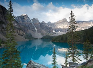
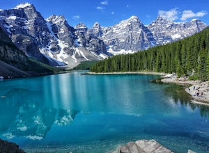
Moraine Lake
4.8Showing up at Moraine Lake before dawn is a must as to avoid the multitude of tours busses. The morning sun is subtle and magical. The lake, being glacially fed, does not reach its crest until mid to late June. When it is full, it reflects a distinct shade of blue. The color is due to the refract...Read more -
Field, British Columbia
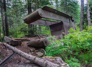
Hike "A Walk in the Past Trail," Yoho NP
3.02 mi / 396 ft gainThe trail begins towards the backside of Kicking Horse camp area near the washrooms. Please know that access to this area is typically closed between October and June. Look for the large trail sign and be sure to grab a brochure to enjoy the self-guided tour. The brochures may not be available, ...Read more -
Improvement District No. 9, Alberta
Scramble the Tower of Babel
4.01.94 mi / 1726 ft gainStarting at the Moraine Lake parking lot follow the trail East along behind the large pile of boulders along the lake shore. Once you reach the foot of the Tower of Babel scramble up the slope to heading towards the valley between the two peaks. The easiest route is along one of the cliff faces w...Read more -
Improvement District No. 9, Alberta
Eiffel Lake via Valley of Ten Peaks
5.07.35 mi / 1647 ft gainHike with amazing views of Valley of Ten Peaks, including Mount Fay (10,613 ft), Mount Little (10,131 ft), Deltaform Mountain (11,234 ft), and Wenkchemna Peak (10,401 ft) to two breathtaking glacial lakes in the heart of the Continental Divide. From the lake, the trail is quite easy to follow, a...Read more -
Improvement District No. 9, Alberta
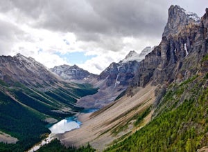
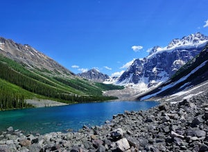
Hike to Consolation Lakes
4.03.7 mi / 196.9 ft gainOnce at Moraine Lake, the directions to Consolation Lakes are quite clear. From the parking lot, head northeast past the rockpile, which provides fantastic views of Moraine, then follow the Consolation Lakes Trail for another 2.9 km (1.8 miles) past Taylor Lake until you reach the lake. Depending...Read more -
Improvement District No. 9, Alberta
Larch Valley Trail to Minnestimma Lakes
5.05.61 mi / 1909 ft gainStarting at the Moraine Lake parking lot take, take the main trail the leads down past the cafe and lodges on the lake shore. A short way down the trail splits, to the left is just the lakeside walk. For Larch Valley take a right, it is clearly signed. Depending on the time of the year there are ...Read more -
Improvement District No. 9, Alberta
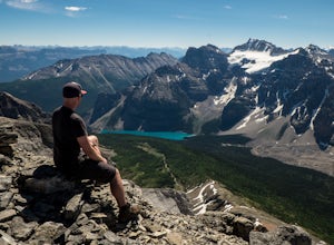
Eiffel Peak
5.07.14 mi / 3917 ft gainTake in stunning alpine views of the famous Valley of the Ten Peaks as you head to Eiffel Peak. A much more unique photo opportunity of Moraine Lake. Views of several prominent glaciers and the gorgeous Paradise Valley. The Eiffel Tower rock formation viewable from the summit. 11km roundtrip. 130...Read more -
Improvement District No. 9, Alberta
Scramble the Ten Peaks via the Perren Route
A true adventure with lots of route finding, glacier travel, loose rock and high altitude views. This is not for the faint hearted or first timers.From the Moraine Lake parking lot walk down the east side of the lake along the well maintained trail. Towards the end of the lake you will cross the ...Read more -
Field, British Columbia
Backpack Burgess Pass to the Iceline to Takakkaw Falls
5.042.3 miThis hike begins at a trailhead 1.5 km (0.9 mi) from Field, B.C., Canada. When heading west on the Trans Canada Highway towards Field, turn right 1.5 km before Field onto a small dirt road. Immediately turn left and continue driving straight for 500 m (0.3 mi) to a small open area for parking at ...Read more -
Field, British Columbia
Hike Iceline Trail
5.012.3 mi / 2867.5 ft gainThe trailhead is accessed at the Takakkaw Falls parking lot, and then you walk to the Whiskey Jack Hostel where the trail officially begins (you can not park here unless you are a guest). The well marked trail then begins its very steep ascent through the forest where you will catch glimpses of ...Read more -
Field, British Columbia
Explore the Natural Bridge in Yoho NP
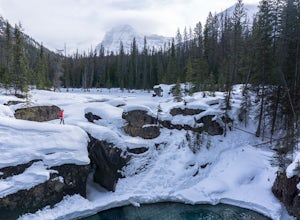
4.5Whether you are traveling north or south on the Trans-Canada Highway in Yoho National Park you will see a sign that directs you west to travel on Emerald Lake Road. When you turn west you will travel about one mile, or 1.6 km, and then you will see the parking area for the Natural Bridge. After p...Read more -
Field, British Columbia
Camp at Takakkaw Falls
Takakkaw is the third highest waterfall in Canada. Mountain vistas, rushing glacial fed rivers, and waterfalls galore make Yoho a prime destination. This is the nicest drive-to campground around, and with little effort you have a semi-backcountry experience that is accessible to everyone.Take the...Read more -
Field, British Columbia
Takakkaw Falls
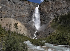
4.01.2 mi / 196.9 ft gainThis powerful waterfall is unquestionably, one of Canada's largest and most magnificent waterfalls. It falls at around a whopping 381 meters over the sheer cliff of the beautiful Canadian Rockies. The word 'Takakkaw' loosely translates from the language of 'Cree,' into the English phrase, "it is ...Read more -
Columbia-Shuswap A, British Columbia
Hike to Hamilton Falls, Yoho NP
4.01.76 mi / 474 ft gainHamilton Falls trail sign is across the parking lot from Emerald Lake and points you in the direction of the trail. The trail will start with a gentle incline which immediately places you into a lush forest as the noise of tourism begins to fade. Approximately 0.4 miles up the trail, you will rea...Read more -
Field, British Columbia
Hike the Emerald Lake Circuit
5.03.2 miEmerald Lake is without a doubt one of the most beautiful lakes in the Canadian Rockies and is the jewel (see what I did there...) of Yoho National Park. The circuit surrounding the lake allows great opportunities for pictures and views from all sides.Getting there: Just west of Field, BC turn of...Read more

