Harrison Mills, British Columbia
Top Spots in and near Harrison Mills
-
Deming, Washington
Note that Artist Point is only accessible by car during the summer - it is closed off from cars as of First Snowfall (end of September) through June.The parking lot of Artist Point is only about an hour and fifteen minute drive from the city of Bellingham, WA. The beautiful and peaceful road that...
Read more
-
Deming, Washington
5.0
5.5 mi
/ 1200 ft gain
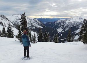
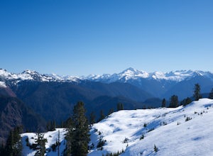
From the south end of the ski area, snowshoe past an old ski lodge along an old access road parallel to the ski hill. Then, ascend Austin Pass (2 miles) following the broad switchbacks. Once at the top of the ridge, follow the road to the left 1/4 mile and take in the views of Artist Point, Mou...
Read more
-
Deming, Washington
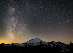
A couple things must coincide for you to have a great time watching the milky way at Artist Point. The road up to Artist is only open during the summer and early Autumn months but it's always good to check on the Washington State Department of Transportation website to see current road conditions...
Read more
-
Deming, Washington
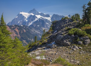
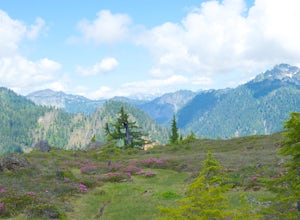
This hike starts out at Artist Point, where already you can see jaw-dropping scenery of Mt. Shuksan, Baker, Coleman, and many other peaks of the North Cascades. No matter what time of year you visit, you are bound to get unbelievable views and photos.Artist Point is the furthest destination along...
Read more
-
Deming, Washington
4.7
5.5 mi
/ 1500 ft gain
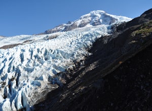
Starting at the marked Heliotrope Ridge parking lot of FS Road 39, just 8 miles out of the quaint town of Glacier, Washington, you begin your ascent to the glacier viewpoint. The trailhead sign indicates that it is a strenuous 2,000 ft gain over 2.5 miles up to the overlook.This clearly cut trail...
Read more
-
Pitt Meadows, British Columbia
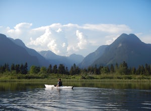
The 12km (7.5 mi) drive on Neaves Road to Pitt Lake from Pitt Meadows is one of BC's most scenic routes. As soon as you start this section of the drive you already feel miles from the city, but this route is only 30-45 minutes from Vancouver, depending on city traffic.Once you reach the parking l...
Read more
-
Concrete, Washington
The Trail
From the parking area proceed back towards the road and hang a right up an abandoned road bed. The trail follows this road bed for a about 0.2 miles before the real trail becomes evident. The first 0.5 - 1.0 miles of this trail can be difficult. Deadfall, wet, steep, and root covere...
Read more
-
Concrete, Washington
Turn left off of the Grandy-Baker Lake Road onto FS RD 1130 just past the Boulder Creek Campground. Stay right at the first fork in the road. At 3.9 miles go right towards Rainbow Falls. The falls are located at a large bend in the road at approximately 4.5 miles. I have never found a good safe...
Read more
-
Concrete, Washington
NOTE: This is a very challenging mountaineering adventure. Please do not attempt without the proper skill, knowledge, and equipment.
The Sulphide Glacier is the easiest and most popular route to the summit of Mt. Shuksan, and is a great beginner’s glacier + rock climb. More experienced climbers...
Read more
-
Hope, British Columbia
Located just off the Coquihalla Hwy about 30km east of Hope, BC is Ladner Creek. Use the Portia Exit #202 if you are coming from the West to do a u-turn just after crossing over the creek.Coming back from the East, you want to pull off the highway immediately before crossing the bridge. After e...
Read more
-
Coquitlam, British Columbia
Important: if you are planning on bringing a dog, and they are skittish around loud noises make sure to keep them leashed. This trail is beside the gun club and can spook dogs. You stop hearing the guns once you reach the powerline roadTo reach the trailhead, follow Harper Road until you reach th...
Read more
-
Coquitlam, British Columbia
To reach the trailhead, follow Harper Road until you reach the Port Coquitlam Gun Club, then park along the side of the road. Walk past the yellow gate and take the first trail to your left. About 10 minutes down the trail, you will reach a gravel logging road. Take an immediate left down the pat...
Read more
-
Concrete, Washington
The Easton Glacier route is one of the mountain’s most popular and likewise, most crowded. Check out Mt. Baker’s Squak Glacier route or Coleman Deming Glacier route for an alternative climb with similar difficulty.You’ll start out at Schreibers Meadow Trailhead (3,200 ft.). To get there, exit off...
Read more
-
Concrete, Washington
NOTE: THIS ROUTE REQUIRES GLACIER TRAVEL SKILLSMt Baker, or Kulshan, is a remarkable mountain in northwest Washington. Whether you're in Anacortes, Bellingham, Vancouver or on the San Juan Islands you can see Mt Baker standing as a citadel over the Northwest. Unlike the more popular routes like t...
Read more
-
Concrete, Washington
4.5
7.64 mi
/ 2100 ft gain
This place is really the stuff of fairy tales.
Where else can you find a tiny cabin with 360-degree views of stunning mountain scenery? To the west, you can see all the way to Bellingham and the Puget Sound. To the south and east lie the jagged North Cascades. And the entire northern horizon is ...
Read more
-
Concrete, Washington
Begin at the Park Butte trailhead, trail 603. Hike past the first Scott Paul trail sign a few hundred feet from the trailhead. Continue on and cross appropriately name Rocky Creek heading up on the Park Butte Trail. Continue up the Park Butte trail passing the Scott Paul trail again at about 4,50...
Read more

