Harrison Mills, British Columbia
Top Spots in and near Harrison Mills
-
Maple Ridge, British Columbia
Park your car in the Gold Creek Parking lot ( at the end of the dirt road), and look for a yellow gate at the far end of the parking lot. This will be the East Canyon trail.The first part of the trail winds through the forest and you emerge on an old logging road. Follow this road along with the ...
Read more
-
Maple Ridge, British Columbia
Golden Ears is well known to those in the Lower Mainland. After staring at the jagged 'ears' from all angle, I finally got to see them up close and in-person. The West Canyon Trail is a gentle 5.5 kilometers on a well groomed path, lined with deciduous trees making it a perfect place to watch the...
Read more
-
Maple Ridge, British Columbia
Backcountry permits are required to camp on Panorama Ridge ($5) and can be paid online.The trailhead is located at the West Canyon Parking lot. The trail starts out on a relatively flat old logging road. The trail slowly gains elevation over three kilometers taking you through thick green forest ...
Read more
-
Fraser Valley E, British Columbia
4.4
6.89 mi
/ 1240 ft gain
You start the trail in a newly created parking lot (outhouses as well). Follow along the trail, and within a short distance from the parking lot you will come to a fork. Take the left trail (right goes to Flora Lake). This part of the trail is fairly flat with some nice scenery. You will follow t...
Read more
-
Whatcom County, Washington
4.7
13.4 mi
/ 4902 ft gain
The best way to describe the location is due east of Bellingham. After driving through gorgeous roads to reach Twin Lakes Road (fire service road 3065), you are treated to about a 4-mile drive up to the trailhead for Yellow Aster Butte (8.3 miles RT with 2850' of gain) and Tomyhoi Peak. The drive...
Read more
-
Whatcom County, Washington
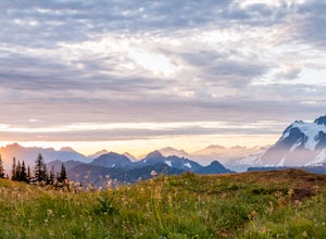
Yellow Aster Butte has to be one of the most visually rewarding hikes in the Mt. Baker-Snoqualmie National Forest for the effort required to get there. Abundant with lush, rolling mountain meadows, hikers can be treated to an abundance of wildflowers, heather fields, and berry patches with dreamy...
Read more
-
Fraser Valley E, British Columbia
Porcupine Peak (also known as Goat Peak) is a little known trail that begins beside the popular Lindeman and Greendrop Lakes trailhead. The hike is tough, going straight uphill for a significant portion, with some ups and downs right before reaching the peak.
The trailhead is a bit tricky to fin...
Read more
-
Whatcom County, Washington
Despite this trip report being titled "to Winchester Mountain", the fun doesn’t stop there. Even though Winchester Mountain is the most popular summer hike departing from Twin Lakes, this whole area turns into a fun-zone during the winter.Upon reaching higher ground above the lakes, this zone off...
Read more
-
Whatcom County, Washington
4.8
3.28 mi
/ 1335 ft gain
Winchester Mountain is said to have the greatest reward for least amount of effort in all the North Cascades. One of the last fire-lookouts in the region stands on the summit. Views from the summit of Winchester Mountain are beautiful and dramatic to say the least. Being one of the easiest hikes...
Read more
-
Maple Ridge, British Columbia
About one hour outside of Vancouver, Golden Ears Provincial Park is a great escape for hiking and paddling opportunities. The massive drive-in campgrounds are usually full for most of the summer, but deep into the lake's wilderness are marine spots for backcountry camping. Get your backcountry pe...
Read more
-
Hope, British Columbia
From Exit 68, follow Silver Skagit Road 16km until you reach a sign for Eaton Lake Trail and Eaton Lake Forestry Campsite on the left. There is parking for a few cars a short distance past the campsites where you will find the start of the trailhead on your left. From here, the trail climbs steep...
Read more
-
Maple Ridge, British Columbia
An hour outside of downtown Vancouver lies the beautiful 150,000 acre Provincial Park of Golden Ears. The park has a myriad of hikes and adventures all with varying degrees of difficulty. The Spirea Nature Trail likely clocks in as one easiest amongst the dozens within the park. However, don’t le...
Read more
-
Deming, Washington
If driving 13 miles on a forest road, and hiking miles of switchbacks doesn't bother you, your in for one of the most exquisite views that you can get from hiking in Washington state.Just a mile outside of the town of Glacier, turn onto Forest Road 37 and follow it up switchbacks for the majority...
Read more
-
Hope, British Columbia
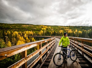
Top 10 Areas of Interest - from West to East (1) Coquihalla Canyon Provincial Park(2) Red Ochre cliffs in the Tulameen(3) Trout Creek Trestle & The Kettle Valley Steam Train(4) Penticton's Munson Mountain & the Naramata Bench(5) The Little & Big Tunnel above Naramata(6) Myra-Bellevue ...
Read more
-
Deming, Washington
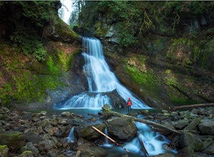
Racehorse Creek is broken up into four distinct waterfalls that drop a total of 140ft through a relatively shallow gorge. The first two waterfalls are punchbowl-type falls that have deep holes at their bases. Immediately below the second waterfall, the creek descends rapidly before it arrives at...
Read more
-
Deming, Washington
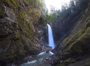
Wells Creek Falls is an incredible waterfall nestled in a tight canyon below Mt. Baker. The falls plunges 93-ft. over a volcanic cliff face and envelops the small amphitheater below in a cloud of mist. From there, Wells Creeks snakes through the canyon and enters Bar Creek on the opposite side of...
Read more

