Lytton, British Columbia
Looking for the best backpacking in Lytton? We've got you covered with the top trails, trips, hiking, backpacking, camping and more around Lytton. The detailed guides, photos, and reviews are all submitted by the Outbound community.
Top Backpacking Spots in and near Lytton
-
D'Arcy, British Columbia
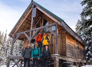
Overnight at Keith's Hut
2.05.6 mi / 1312.3 ft gainStarting from the side of the highway outside of Pemberton, continue towards Duffy Lake past Joffre Lake trail head. Cross the Cayoosh Creek bridge and pass the work sheds on your right with a green roof, 3.3km from this is a shoulder and between no-stopping avalanches areas, you will see a pull ...Read more -
D'Arcy, British Columbia
Hike to Mt Rohr
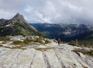
5.0/ 3200 ft gainThe Duffy Lake Road area is a scrambling paradise. If you love exploring the alpine off trail, this would be the place.Mt Rohr is a prominent peak, located just above Duffy Lake. One of the highlights of this trip is that you get to hike directly beside the incredible glaciers of Joffre Peak, as ...Read more -
Squamish-Lillooet C, British Columbia
Joffre Lakes Trail
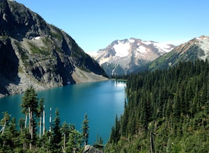
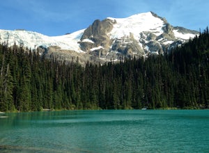
4.65.67 mi / 1266 ft gainJoffre Lakes is a well loved destination, and for good reason: it is absolutely stunning. Not only is it located on one of the most scenic drives you could ever hope to find (Duffy Lake Road) , but it's possible to enjoy this area no matter how much time you have, or how much hiking you want to d...Read more -
Squamish-Lillooet C, British Columbia
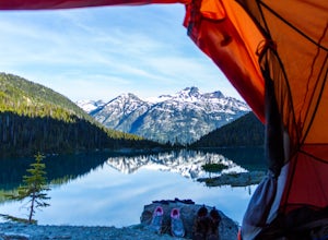
Backcountry Camp Upper Joffre Lake
3.03.1 mi / 2952.8 ft gainJoffre Lakes Provincial Park is located roughly three hours from Vancouver north of Whistler and Pemberton on Highway 99 (Sea-to-Sky Highway). The drive itself up to the trailhead is very scenic and worth it in itself. Once you get to the parking lot, park your car anywhere in the lot and consi...Read more -
Squamish-Lillooet C, British Columbia
Snowshoe Joffre Lakes
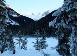
6.2 mi / 1312.3 ft gainThe Canadian west coast mountains around Whistler BC receive over thirty feet of snow each winter. This area is well known for epic skiing and snowboarding, and it's also a really fun place to go snowshoeing. Here's a winter version of the incredible Joffre Lakes adventure (see my profile to read...Read more -
Yale, British Columbia
Summit Needle Peak
5.08.1 mi / 2893.7 ft gainMake your way to the Zopkios exit (#217) on the Coquihalla Highway (Hwy 5), which is almost exactly halfway between the Lower Mainland and the Okanagan of BC. The trailhead is off the pipeline service road on the opposite side of the highway as the rest stop. The hike can be done in one day, but ...Read more -
Yale, British Columbia
Hike to Tasty Lake
8.1 mi / 2894 ft gainTo Needle PeakTotal Distance: 13.0 km (return)Estimated Time: 4 - 7 hoursAverage Grade: 13.6%Structure: Linear - ReturnElevation Gain: 882 mStart Elevation: 1210 mMax Elevation: 2092 mTo Small LakeTotal Distance: 13.0 km (return)Estimated Time: 4 - 6 hoursAverage Grade: ...Read more -
Yale, British Columbia
Hike & Swim at Falls Lake, BC
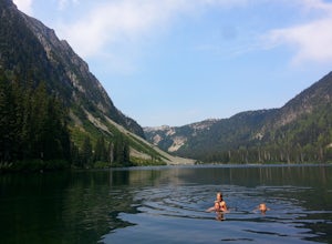
3.0Usually the Coquihalla is a means of a way to get from Point A to Point B, but why drive past all that rugged B.C. beauty? Skip the usual travel rest stops and have a micro adventure while passing through the transition zone between B.C.'s coastal and interior landscapes.The trailhead is 1km (0.6...Read more -
Yale, British Columbia
Hike Yak Peak
5.03.4 mi / 2755.9 ft gainThe granite slab of Yak Peak is easily identified by those passing by on the Coquihalla Highway. What most don't know is there is a hiking trail and climbing opportunities, both offering amazing 360 degree views of the Zopkios range and beyond.This hike starts at the Zopkios rest area (across the...Read more

