British Columbia
Looking for the best photography in British Columbia? We've got you covered with the top trails, trips, hiking, backpacking, camping and more around British Columbia. The detailed guides, photos, and reviews are all submitted by the Outbound community.
Top Photography Spots in and near British Columbia
-
Kitimat-Stikine A, British Columbia
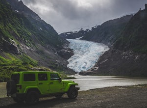
Bear Glacier
There is no hiking involved to view this magnificent glacier en route to Stewart BC via Highway 37A. Bear River pass was once filled with ice, and in the 1940's Bear Glacier began its retreat. Strohn Lake formed once the glacier retreated enough. Getting to the base of Bear Glacier is possibl...Read more -
Denman Island, British Columbia
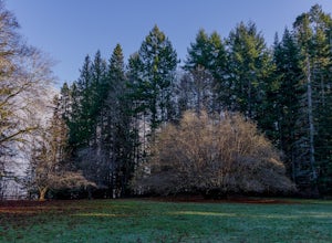
Explore Fillongley Provincial Park
4.01.6 mi / 60 ft gainFillongley Park is located on Denman Island. To get there take the Denman Island Ferry from Buckley Bay, off Hwy #19A on central Vancouver Island. Take the Buckley Bay exit #101 from Hwy #19A. Once on the island, follow Denman Road to Swan Road. Turn left on Swan Road, then right on Beadnell Road...Read more -
Kitimat-Stikine B, British Columbia
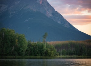
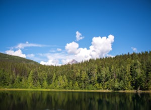
Hike around Ross Lake
4.02.2 miThe turnoff for Ross Lake Provincial Park is 3.3 km east of the Hazelton Visitor Center. Take Ross Lake Road for 1.5 km until it ends at the parking lot. The Rainmaker Trail is an easy 3.5 km hike along the perimeter of Ross Lake. The trail is very well maintained and is just about flat the entir...Read more -
Egmont, British Columbia
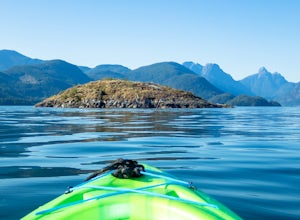
Kayak the Miller Islet
The coast of British Columbia defies description. It is a wonderland of natural treasures both living and geological, and the vast majority of it is only accessible by water or seaplane. The Miller Islet at the entrance to the glacier-carved Jervis Inlet is both a harbor seal and seabird colony a...Read more -
Mount Waddington D, British Columbia
Kayak Camp Telegraph Cove, Johnstone Strait, and Broughton Archipelago
4.0Starting in Telegraph Cove, a small former mill town now turned charming tourist destination, you can easily set out into the Broughton Archipelago Marine Park. BC's largest Marine Park has hundreds of islands dotting the waters that range from a small rocky bluff to a densely forest island with ...Read more -
Prince Rupert, British Columbia
Hike the Butze Rapids Loop Trail
4.03.4 miThe parking lot for the trail is just outside of Prince Rupert and right off of Highway 16W.This hike is an easy hike, with some hills, through a beautiful coastal rainforest. The viewing platform for Butze Rapids is 1.8km from the parking lot and then you can either choose to turn around and go ...Read more -
Clearwater, British Columbia
Moul falls
5.03.4 mi / 652 ft gainThis hike follows a well groomed trail that meanders through the forest. At 5.4 km it was well worth every step. The vegetation slowly changes, you'll know when you're getting close! Once you approach the viewing point the trail continues down the left side of the hill and leads you into the rive...Read more -
Smithers, British Columbia
Hudson Bay Mountain Winter Creek Hike
After a 6.7 km drive west from the corner of Toronto St and Hwy 16 in Smithers, BC, you'll come to a clearing where you can either park your vehicle and walk, or continue driving 2 km up the road to a provincial recreation site.From there (starting at 757m, lat/long: 54.82574647 / -127.27593041),...Read more -
Columbia-Shuswap B, British Columbia
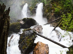
Explore Begbie Falls
1.9 mi / 82 ft gainThis short trail leads down to a fantastic viewpoint overlooking the falls. Additionally the trail leads to a beach at the mouth of Begbie Creek. Just above the beach there is a tent pad, picnic table and fire pit for camping. Follow highway 23 south of Revelstoke and turn right on Mt Begbie Rd....Read more -
Smithers, British Columbia
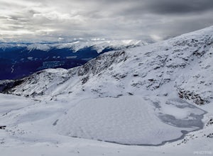
Crater Lake via Crater Lake Trail
3.0Parking in the lot normally reserved for dropping off people, start your upward journey from the base of the Prairie t-bar at the far edge of the resort's boundary. Shortly after starting, we took the path that angles off to the left, away from the t-bar line, and upwards through the trees. With ...Read more -
Cedarvale, British Columbia
Hike the Watson Lakes Trail
4.54 mi / 600 ft gainThe trailhead is located a few hundred yards from highway 16 on a relatively smooth gravel road. The turnoff is marked by a blue sign saying Watson Lakes Trail. From Terrace the turnoff is 33 miles east, and from Kitwanga Junction the turnoff is 23 miles west. The first half of the hike is a stea...Read more -
Revelstoke, British Columbia
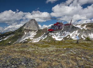
Heli-Hike Ghost Peak
2 mi / 800 ft gainTypically a very popular place for heli-skiing in the winter months, Ghost Peak and the surrounding area offer some epic alpine hiking opportunities! Various routes are available from the ridge connecting Ghost Peak with Mount Cartier. The basin between the peaks, Ghost Peak Basin, is strewn with...Read more -
Black Creek, British Columbia
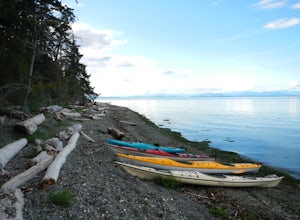
Camp at Seaview Game Farm and Paddle the Strait of Georgia
Seaview Game Farm, located on Vancouver Island between Courtenay and Campbell River is a prime jumping off point to paddle the Strait of Georgia and check out some of the best beaches the coast has to offer. Located right on the beachfront, Seaview offers camping at RV sites but, for the best ex...Read more -
Port Renfrew, British Columbia
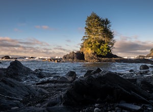
Hike the Botanical Beach and Botany Bay Loop
2.2 miThe loop trail is a short 3.5km trail that is well maintained and open year round. There's negligible elevation gain and aside from the odd slippery section the trail is easily accessible for all ages and skill levels. It is definitely busy in the Spring and Summer months but is manageable in the...Read more -
West Vancouver, British Columbia
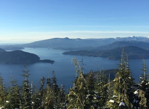
Bowen Lookout
4.02.48 mi / 443 ft gainThe trailhead is located just off the Cypress Mountain lodge. It winds past old growth forest, and the Yew Lake Meadows. After passing these features the trail turns into a series of switchbacks, gaining the elevation in the last 850m of trail. Before you know it you are rewarded with a beautif...Read more -
Sooke, British Columbia
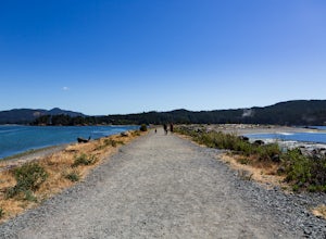
Hike Whiffin Spit
1.5 mi / 0 ft gainLocated in Sooke, between the Sooke Harbour and the Juan de Fuca Strait is Whiffin Spit Park. An easy 2.4km out and back trail with minimal elevation gain that you can walk to the end and back in about an hour. The dog-friendly gravel trail takes you down the spit to the end where you will find a...Read more

