British Columbia
Looking for the best photography in British Columbia? We've got you covered with the top trails, trips, hiking, backpacking, camping and more around British Columbia. The detailed guides, photos, and reviews are all submitted by the Outbound community.
Top Photography Spots in and near British Columbia
-
Courtenay, British Columbia
Paddle the Courtenay River Estuary
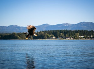
Mixing of sea and river waters at the Courtenay River Estuary means its an abundant place for wildlife. Coupled with incredible views of the Comox Glacier to the west, it's no wonder this is a popular spot to paddle in the small island town of Courtenay. Head over to Comox Valley Kayaks and Cano...Read more -
Tofino, British Columbia
Take a Stroll at Mackenzie Beach
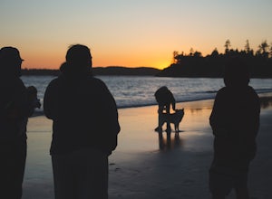
5.0Head out to Mackenzie beach in Tofino. The easiest way to access it is through the Makenzie Beach Resort or surrounding campgrounds. It is roughly a mile long beach depending upon the tide. Sometimes live music is played on the beach, usually in the evenings and on the weekend. It is dog friendl...Read more -
Kitimat-Stikine C (Part 1), British Columbia
Explore Gruchy's Beach
1.3 miForm Terrace, drive south for approx., 14 km along Highway 37 to Gruchy’s Beach day use area.The beach is accessed by an easy 1 km trail that follows along Williams Creek through and old growth forest. The trail has a number of boardwalks and nice views of the creek, which can provide sights of S...Read more -
Fanny Bay, British Columbia
Visit the Great Central Lake Shoe Tree
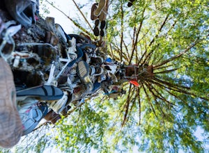
1.0Does your sole need heeling? If you can muster the feet you may just meet Old Mother Hubbard. To get there take Highway 4 / The Pacific Rim Highway west out of Port Alberni towards Tofino. After the second bridge, take your third right onto Central Lake Road approximately 5.3 miles. The Great Cen...Read more -
Bamfield, British Columbia
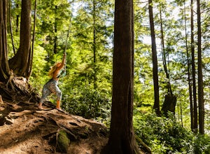
Swing on the West Bamfield Rope Swing
5.0On the island of West Bamfield, accessible only by foot and by taking a ferry from East Bamfield, itself only accessible via a 60 mile brutal dirt road from Port Alberni, is a taste of the free-wheeling, regulations-be-damned old-Vancouver-Island-made-manifest in an epic rope swing that hurls its...Read more -
Victoria, British Columbia
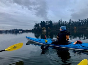
Paddle Victoria Harbour's Waterways
Victoria Harbor located on the southwestern tip of Vancouver Island, British Columbia is the southernmost port in Canada. Enjoying a moderate climate year round, one will quickly see why it is also known as Canada's busiest port. Pleasure boats, water taxis, large car and passenger ferries, tugbo...Read more -
Telegraph Cove, British Columbia
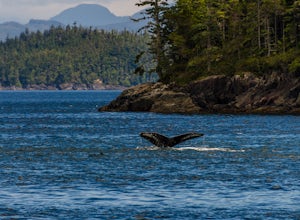
Photograph Whales out of Telegraph Cove
To get to Telegraph Cove it is about 2 hours north of Campbell River. Head north as if you are driving to Port Hardy, the road is paved and in good condition. Just follow the highway signs to Telegraph Cove, they are hard to miss. There is a great boat charter, Stubbs Island Whale Watching, that ...Read more -
Delta, British Columbia
Hiking through Burns Bog Delta Nature Reserve
1.9 miAs you begin your journey into Burns Bog Delta Nature Reserve from the parking lot and small trail coming off of Westview Drive, notice the gravel trail ahead of you and across the train tracks that will take you into the bog itself and take a left. After spending a few minutes on the straight tr...Read more -
Squamish-Lillooet D, British Columbia
Hike to Deeks Lake
3.07.5 mi / 3280.8 ft gainBegin the Deeks Lake trail at the Lions Bay parking lot (same entrance as the Howe Sound Crest Trail) just off of Highway 99 North. The pullout is right before Porteau Cove Provincial Park. Begin by walking past the yellow gate and taking an immediate right into the trail where you will begin y...Read more -
Parksville, British Columbia
Explore Lasqueti Island
15.5 mi / 754.6 ft gainLasqueti Island is a beautiful island that covers about 75 square kilometres. It is one of the drier islands in the strait, and has some of the warmest waters too. The shores are dotted with arbutus trees, and feral sheep run wild through the woods. The lack of car ferry and direct utilities kee...Read more -
Cowichan Valley F, British Columbia
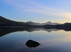
Camp at Nitinat Lake
Nitinat Lake is located about 70 km from Lake Cowichan on Vancouver Island. It's about a 2 h drive from Lake Cowichan with 1 h on logging roads. When you get close to Lake Cowichan, the highway splits into two possible routes, one on the south side of the lake, the second on the north side. Since...Read more -
Columbia-Shuswap, British Columbia
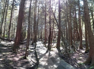
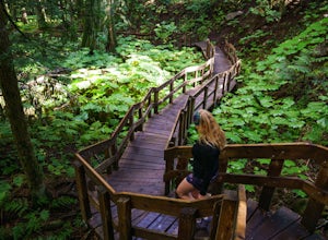
Giant Cedars Boardwalk
0.26 mi / 105 ft gainThe Giant Cedars Boardwalk is a great spot to stop along the Trans Canada Highway #1 and enjoy a short boardwalk trail through giant Cedars, some over 500 years old. The trail has some steps, but several benches along the way making it great for anyone. It's like a stroll through a forest in a...Read more -
Rogers Pass, British Columbia
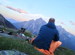
Camp at Hermit Meadows
4 mi / 2559.1 ft gainThe trail head is located between the Rogers Pass Discovery Center and the Tupper. It's a good idea to head into the Discovery Center first and book the campsites as they do require pre-booking to use, and the fines can be steep. Campfires are banned at this campsite as it is a fragile alpine eco...Read more -
Fernie, British Columbia
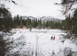
Hike through Mount Fernie Provincial Park
4.02.5 mi / 65.6 ft gainFernie is a well-known destination for outdoor rec activities, from resort skiing to backcountry touring to hiking and mountain biking. Going for a short winter hike might seem like the least exciting thing you could do, but as a break from the regular nine-to-five, it provides a perfect reconnec...Read more -
Toad River, British Columbia
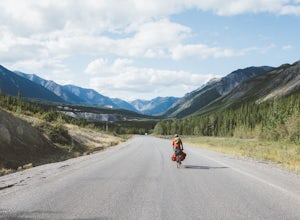
Bike the Sentinel Range
189.5 mi / 3034.8 ft gainBetween Fort Nelson in northeastern British Columbia and Watson Lake on the Yukon border lies the Sentinel Range, a series of stony mountain peaks cut with blue rivers and lined with boreal forest as far as the eye can see. The Alaska Highway, also known as Highway 97, traverses the mountain rang...Read more -
Mayne Island, British Columbia
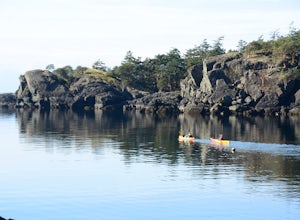
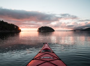
Kayak Bennett Bay
4.0The tiny island of Mayne is located in the chain of Gulf Islands just off the coast of Vancouver Island. For a small Island that can be biked across in a couple of hours, it offers some amazing views and photo opportunities. Mayne Island is just a stop away from Victoria and is located right abov...Read more

