Ride the RTS Trail
Park City, Utah
2.6 mi
/ 366 ft gain
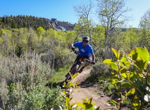
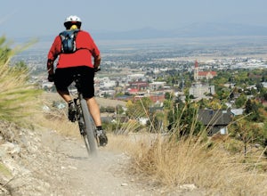
The RTS trail at Utah's Olympic Park (ski jumping, bobsled, skeleton, and luge), is a fantastic beginner-to-intermediate trail. Since it's a short loop at only 2.6 miles and 366 feet of elevation gain, it's perfect for kids and beginners. Most of the sections are smooth dirt that winds through aspen groves and meadows. The lower trail has a few more rocks - just enough for beginners to test the...
Hike Mount Ellen in Utah's Henry Mountains
Garfield County, Utah
4.0
4 mi
/ 1091 ft gain
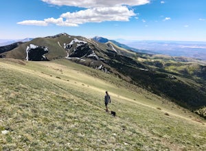
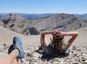
Mount Ellen is considered an Ultra Prominent Peak. What's that you may ask? Well, Ultra Prominent Peaks are determined by how high the summit rises above its surroundings. Rising 5,812 feet above the desert floor with a summit elevation of 11,527 feet, Mount Ellen is the third most prominent peak in Utah behind #2 Mount Peale in the La Sal Range, and #1 Kings Peak in the Uinta Mountains. In cas...
Camp at McMillan Springs In The Henry Mountains
Torrey, UtahMcMillan Springs Campground is south of Hanksville, Utah and within the Henry Mountains, which run north and south between Canyonlands, and Capitol Reef National Parks.
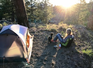
Situated at 8,400 feet, McMillan Springs Campground has moderate temperatures and is managed by the BLM, so fees are donation based. The campground has 15 spots, two outhouse toilets, and water. As of June 2017, they were updat...
Hike Quarry Mountain in Park City
Park City, Utah
2.2 mi
/ 740 ft gain
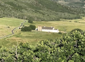
The Quarry Mountain trail is a less-traveled option than the Iron Mountain trail in Park City offering unique views of McPolin Farm to the west, Kimball Junction and Old Ranch Road to the north, Park City to the south, and Promontory Ranch to the East.
The trail starts at the McPolin Farm parking area on the east side Highway 224 (the main road from I-80 to old town Park City) and ends at the t...
Explore Nature Mission Canyon Natural Bridge
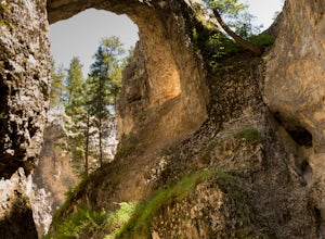
Zortman, MontanaMission Canyon Natural Bridge is located on the Fort Belknap Indian Reservation just outside Hays, Montana. Fort Belknap Indian Reservation is home to the Assiniboine (Nakoda), and the Gros Ventre (aaniiih) tribes, and is the forth largest Indian reservation in Montana.
The People's Creek flows from the Little Rocky Mountains through Mission Canyon. Over centuries, the river has carved it's wa...
Paddle the Upper Missouri River: Fort Benton to Coal Banks Landing
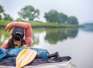
Fort Benton, MontanaDid you know that Fort Benton was considered the "World's Innermost Port" until the railroads started moving goods and people across the west? Nowadays, some people call Fort Benton a "sleepy little river town", but paddlers and history buffs seek the solitude and beauty of the Upper Missouri River.
Fort Benton is also the gateway to the Upper Missouri River Breaks National Monument and locat...
Hike Crown Mountain, Augusta
Augusta, Montana
8 mi
/ 4200 ft gain
Located an hour and forty minutes east of Great Falls Montana, Crown Mountain is a fun day hike, and you'll see few if any other people. The nearest town is Augusta and a great place to stop for a burger and beer at Buckhorn Bar afterward.
From Augusta, head West on Benchmark Road for 20 miles. Just past Double Falls campground and on the left side of the road will be the trailhead for Trail 2...
Camp at The Wedge (East Side)
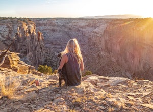
Emery County, UtahThe Wedge, which is also known as The Little Grand Canyon is located in the northern part of the San Rafael Swell. The closest town is Castle Dale, Utah, and most people drive past this part of the San Rafael Swell on their way to Moab, or other parts of the Swell.The views are remarkable. It's no reason its nickname is Little Grand Canyon. There are trails around the rim of the canyons, and pl...
Fly Fish the Missouri River from Holter Dam to Cascade.
Wolf Creek, Montana
5.0
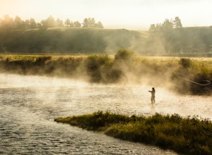
Due to the cold water being released from the bottom of Holter Lake, it creates excellent habitat for trout. The section of the Missouri River from Holter Dam to Cascade, MT is the main area for trout fishing, and has excellent access to the river.
This section of river runs through the valley with sparsely forested hillsides.
Montana Fishing Permits
$10 conservation license (non-resident age...
Ski or Snowboard Red Mountain Pass
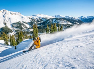
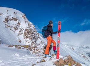
Ridgway, ColoradoRed Mountain Pass is the site of an historic silver mining boom from 1882 to 1893. During that time, over 10,000 people lived at over 11,000 feet! Today, it's turned into a backcountry ski and snowboard touring destination.
If you are coming from the North, you'll pass through the gorgeous box-canyon town of Ouray, CO. From the south, you'll pass through Silverton, CO. This section from Ouray ...
Kings Hill Pass Trail
White Sulphur Springs, Montana
5.9 mi
/ 1800 ft gain
The Kings Hill Pass Trail is located off Highway 89 in the Little Belt Mountains of the Helena-Lewis & Clark National Forest. Kings Hill is considered a scenic byway and climbs to an elevation just over 7,200 feet at the pass.
Kings Hill Pass Trail is considered a more difficult trail and sees little traffic. The trail is available for activities all year long. In the winter you can snowsh...
Rodney Ridge Trail
Helena, Montana
2.6 mi
/ 300 ft gain
With it's easy access from Rodney Street, Rodney Ridge Trail is a locals favorite. The trail heads up the ridge and provides fantastic views of Helena below.
The trail is rated as moderate, and is used primarily for mountain biking and hiking. Dogs are allowed, so, you'll most like encounter a 4-legged furry friend on the trail. From Rodney Ridge Trail, you can link up to a whole bunch of oth...
Photograph Big Rock Candy Mountain
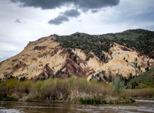
Sevier, UtahAs you head south on Hwy 89 south of I-70 in central Utah, you wind through a picturesque canyon along the Sevier River. As the canyon opens up, Big Rock Candy Mountain's caramel colored hillside comes into full view. The caramel color is a stark contrast to the other mountains covered in pinion pines.
Back in 1928, Harry McClintock recorded the song "Big Rock Candy Mountain" shortly after tha...
Ski or Snowboard Berthoud Pass Colorado
Berthoud Pass, ColoradoBerthoud Pass is 55 miles from Denver making it one of the closest places to get out and backcountry tour in the winter. At 11,370 Berthoud Pass crosses the continental divide. From the top of the pass you can do shuttle runs down the south side of the pass. Or, you can venture on the East or West side of the road and do out and backs. Down the pass towards Winter Park is the Current Creek pull...
Camp at Castle Rock Campground
Sevier, UtahCastle Rock Campground is located within Utah's Fremont Indian State Park just off Interstate 70, which according to the camp host, is a favorite place to camp for people traveling between California and Colorado.
At 6,200 feet in elevation, the temps are manageable in the summer, and the large cottonwood trees and bushes provide shade from the sun and privacy from your neighbors. Castle Rock ...
Camp at Little Creek Mesa
Hurricane, Utah
5.0
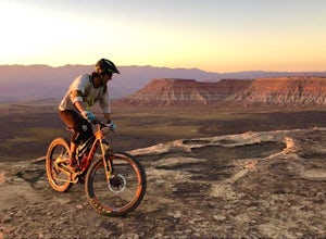
Experience solitude and beauty at Little Creek Mesa Utah. When you get there, grab a campsite, and go for an evening mountain bike ride along the rim of the mesa and see breathtaking views of the valley below as the sun sets.
Little Creek Mesa is located 22 miles from Hurricane, Utah and only 8 miles from state highway 59. It's directly south of its cousin, Gooseberry Mesa, but with fewer peop...
Mountain Bike Portal Trail
Moab, Utah
2 mi
/ 1388 ft gain
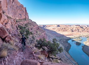
If you are looking to ride one of Moab's famed mountain bike trails, then look no further than the Portal Trail. It's a short 2-mile trail that starts on the rim above the Colorado River and descends 1,388.
To access the Portal Trail you can take a shuttle from town to the top of the Magnificent 7/Gemini Bridges trail system and there are multiple shuttle services (Coyote, Poison Spider, Moab ...
Camp at Curtis Canyon Campgrond
Teton County, WyomingEnjoy a leisurely drive through the National Elk Refuge as you leave Jackson, Wyoming for Curtis Canyon Campground. A short walk from the campground provides epic views of the Teton Range and the National Elk Refuge. Pour a cup of coffee and enjoy!
Curtis Canyon Campground is part of the Bridger-Teton National Forest and has 12 campsites. They don't accept reservations and its first-come-first-...
Cave of 100 Hands Trail
Sevier, Utah
0.5 mi
/ 50 ft gain
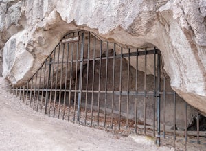
The Cave of 100 Hands is a fascinating archeological/historical site that is easy all-ages and strollers. Over a thousand years ago, the valleys along what is now Interstate 70 near Sevier, Utah were home to the largest community of Fremont Indians ever discovered, and the Cave of 100 Hands has some exceptionally well-preserved pictographs.
It's not clear why it's called, the Cave of 100 Hands...
Hike Fantasy Ridge to Desolation Peak from Canyons Village
Park City, Utah
5.0
6.5 mi
/ 2000 ft gain
The easiest way to start this hiking only trail is to jump on the Red Pine Gondola at the Canyons Village of Park City Mountain Resort. If you have an Epic Pass, the lift is free. Otherwise, you'll need to buy a ticket to ride to the base of Red Pine Lodge.
From the base of Red Pine Lodge (8,000 feet) head south past the Saddleback chair lift. Signs will lead you to the Tombstone trail. After ...
Hike to Crescent Lake
Seeley Lake, Montana
9 mi
/ 1500 ft gain
An hour drive north of the town of Seeley Lake Montana is the Glacier Lake Trailhead and the starting point for your hike. Glacier Lake Trailhead is a popular trailhead, and the parking lot can fill up quickly on hot summer weekends since it provides access to trails which lead to three different lakes.
From the Glacier Lake Trailhead, you can access Glacier Lake, Turquoise Lake, along with Cr...
Camp at Pyramid Lake in Murdock Basin of Utah's Uinta Mountains
Hanna, Utah
Grab a fishing pole, hammock, or book. Pyramid Lake is the perfect setting to kick back and relax in Murdock Basin of Utah's Uinta Mountains!
Pyramid Lake is at an elevation of 9,700 feet with a 1,000-foot tall mountain directly to the west of the lake. Due to this steep face butting up to the edge of the lake, the sun drops behind the mountain early, but it stays light long into the evening. ...
Hike Joe Lott Trail #051
Sevier, Utah
6.5 mi
/ 3600 ft gain
The Joe Lott Trailhead starts at Castle Rock Campground and follows the Joe Lott Creek which has tall old growth trees to provide shade in the summer. Joe Lott Trail #051 is an out-and-back, so you can go as far as you like and turn around. We went 1.5 miles and had to cross the river 3-times. At the third crossing, the creek was too wide to cross without getting wet due to high runoff, so we t...
Hike Clayton Peak in Utah's Wasatch Mountains
Salt Lake City, Utah
4.0
3 mi
/ 1600 ft gain
Clayton Peak is approximately 1.5 miles from Guardsman Pass (3 miles round trip), and you'll gain about 1,600 feet of climbing.
There is parking on top of the pass, but it fills up quickly with hikers and mountain bikers during peak season as this serves as the trailhead for Bloods Lake, Jupiter Peak, and Crest Trail.
From the parking lot, head south on the trail following the ridge. You'll s...
Community
© 2024 The Outbound Collective - Terms of Use - Privacy Policy

