Merritt McKinney
Just another snowboarder who fell in love with the outdoors. I hike, climb, fly drones, take pictures and make videos. Currently studying computer things at the University of Alabama while exploring Chattanooga, Johnson City, and the North Carolina mountains.
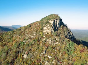
Hike to the Summit of Table Rock Mountain
Morganton, North Carolina
4.6
2.2 mi
/ 572 ft gain
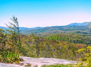
Off of Highway 181, the trailhead is very clearly marked with a large parking lot. Although the trail is fairly short, make sure you have your footing, because the trail does switch back and forth in addition to gaining elevation -- it's pretty steep in some places! It's all worth it when you get to the 3,930' peak. The top is roomy, so find a spot, get comfortable, and day dream within these l...
Hike to Bradley Gap along the Appalachian Trail
Newland, North Carolina
4.6 mi
/ 1339 ft gain
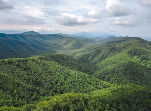
Bradley Gap rests along the Appalachian Trail overlooking North Carolina and Tennessee mountains. Part of the Roan Highlands, Bradley Gap can be accessed via Yellow Mountain Gap Trailhead. Follow the Roaring Fork Trail from the trailhead until you intersect the Appalachian Trail (White Blaze) approximately 3/4 mile into the hike. Take a right and follow the AT for 1.55 miles until you reach Bra...
Pinnacle Mountain Fire Tower via Fire Tower Road
Unicoi, Tennessee
5.0
3.47 mi
/ 663 ft gain
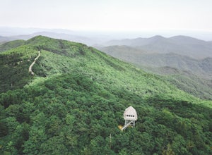
Pinnacle Mountain hosts one of the nicest fire towers on the East Coast of the United States. The fire tower is relatively new, sturdy, and has a large 360 degree viewing area at the top. The tower overlooks the Downtown Johnson City area, Elizabethton, Erwin, and the rest of the Buffalo Mountain Range.
Four-wheel drive is required in order to access the tower from this direction, although it ...
Boulder at Hurricane Creek Park
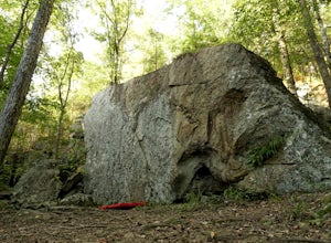
Tuscaloosa, AlabamaHurricane Creek Park in Tuscaloosa, Alabama hosts a field of climbable boulders within it's forest. From the parking lot, follow the trail that stems from the cul-de-sac for approximately 1/10 mile. You will encounter the first cluster of boulders on your right. There are several beginner routes (~v0) with deep jugs and large pockets as well as a more difficult crack route (~v1-2) on the large ...
Hike to Tip Top on Buffalo Mountain
Johnson City, Tennessee
4.0
5.4 mi
/ 1388 ft gain
Tip Top rests on one of the highest points of Buffalo Mountain. The overlook features tree coverage perfect for hammocking and benches while providing views of Downtown Johnson City as well as the other side of the mountain range. The hike from the trailhead to Tip Top is moderately steep. The trail switchbacks 2.7 miles up, is well maintained, and is mostly protected by shade from the thick fo...
Hike to the Base of Fall Creek Falls
Scenic Loop Road, Tennessee
5.0
0.86 mi
/ 299 ft gain
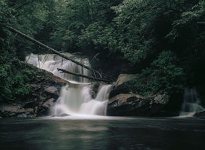
Fall Creek Falls State Park hosts a variety of large waterfalls which can easily become confusing. The park's main attraction is the 256 foot waterfall dubbed "Fall Creek Falls." Fall Creek Falls is observable from a viewing platform less than a five minute walk from the Scenic Loop Road parking lot; however, the magnificence of the falls is best appreciated at the base.
From the viewing platfo...
Take in the View at the Chestoa View Overlook
Linville, North Carolina
5.0
0.1 mi
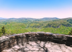
Chestoa View Overlook is an extremely short hike located down a pull-off at milepost 320 of the Blue Ridge Parkway. Park your vehicle in a designated spot then intercept the trail to the left of the lot. The trail will slowly descend down into a stone overlook. The panoramic view showcases the beautiful Linville Gorge as well as Grandfather Mountain and Table Rock.
The hike from parking lot to ...
Photograph Wild Horses at Grayson Highlands State Park
Mouth of Wilson, Virginia
4.6
1.8 mi
/ 306 ft gain
The wild horses gather on top of the bald at the end of Horse Trail North located in Grayson Highlands State Park. Because they are wild, it is important to remember not to touch or feed the horses. The horses are accustomed to hikers and will allow you in their near proximity, but bring a zoom lens and keep a reasonable distance from the horses while photographing and observing.
Park in the M...
Box Canyon Falls
Ridgway, Colorado
5.0
0.57 mi
/ 243 ft gain
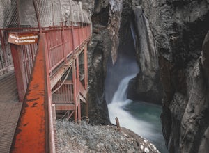
Box Canyon Falls is located on the outskirts of Ouray, Colorado less than five minutes from downtown. The nearly 300 foot waterfall crashes through the canyon down to the town's hot springs. The park also features a bridge overlooking the waterfall, river, and the town of Ouray.
To get to Box Canyon Falls from Ouray, turn right off the Million Dollar Highway half a mile from Main Street onto B...
White Rock Overlook
Johnson City, Tennessee
5.0
2.85 mi
/ 876 ft gain
The White Rock trailhead is less than a 10 minute drive from downtown Johnson City. When pulling up Highbridge Road, take a left at the fork. You will shortly encounter a vehicle gate where you will park to the side of the road (do not block the yellow vehicle gate).
You have the option to walk up the gravel utility road behind the vehicle gate or up the dirt path. Both ways will lead you to t...
Hike and Traverse the Cables to Dennis Cove Falls
Hampton, Tennessee
5.0
3.2 mi
/ 300 ft gain
The Hike to Dennis Cove Falls includes three water crossings and passes several small waterfalls. Sturdy cables spanning the width of the water crossings provide a fun way of traversing the creek without wading. It is completely possible to wade through the creek while holding onto the cables for support if you are uncomfortable climbing across the cables. The hike is relatively flat but does ...
Hike to Beauty Spot Gap
Green Mountain, North Carolina
5.0
2.13 mi
/ 1277 ft gain
Beauty Spot Gap is located on the Appalachian Trail on the border of North Carolina and Tennessee. The bald offers a panoramic view of Cherokee National Forest and the city of Erwin. This is a popular destination for hikers of the AT to set up camp and watch the sunset.
From the Tennessee side, take Rock Creek Road until you meet the border of North Carolina and Tennessee. There will be a pull-...
Big Hump Mountain via the Appalachian Trail
Newland, North Carolina
4.5
7.83 mi
/ 2021 ft gain
Towering over Little Hump Mountain, Big Hump Mountain offers one of the clearest views on the Appalachian Trail. Big Hump Mountain is located in the Roan Highlands North of Bradley Gap. This peak is not as traveled as other popular hikes in the area despite its massive size because of the intense uphill climb to the summit.
Similar to the hike to Bradley Gap, park at the Yellow Mountain Gap Tr...
Parry Peak
U.S. 40, Colorado
11.82 mi
/ 4209 ft gain
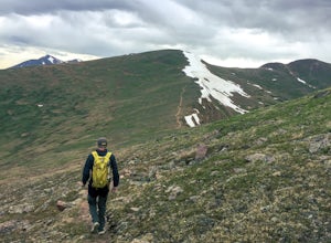
The trek to Parry Peak crosses three other peaks (Colorado Mines Peak, Mt. Flora, and Mt. Eva) along the Rocky Mountains. Begin your hike around sunrise as inclement weather often rolls in during the late afternoon. The trail is extremely rocky and steep.
From the Berthoud Pass parking lot, follow the Continental Divide Trail south for 2 miles up to Colorado Mines Peak. From there, head east ...
Green Knob Lookout Tower
Old Fort, North Carolina
4.8
0.76 mi
/ 292 ft gain
Green Knob Lookout Tower is an abandoned fire tower near Mt. Mitchell and located directly off the Blue Ridge Parkway. The tower boasts a full 360-degree, unobstructed view of Mt. Mitchell, Craggy Mountains, Table Rock, Grandfather Mountain, and the Parkway. Unlike most fire towers, this tower is not located on the highest peak of the surrounding mountains thus providing a unique and nestled fe...
Camp at the Chimneys in the Linville Wilderness
Morganton, North Carolina
5.0
1 mi
/ 138 ft gain
The Chimneys area is a lesser-known camping destination within the Linville Wilderness. The Chimneys are a series of rock formations that rise above Linville Gorge and provide unobstructed panoramic views of the gorge and surrounding mountains. These rocks sit adjacent to Table Rock which hosts world-famous rock climbing. There are several camping areas alongside the Chimneys hiking path. Sleep...
Rappel Through the Keyhole at Stephen's Gap
Woodville, Alabama
5.0
Stephen's Gap is a 150 foot cave in North Alabama protected by the Southeastern Cave Conservancy. It is important note that a free permit is required to visit Stephen's Gap. Directions, parking instructions, and safety tips are distributed after your permit request is granted, but the Google address for Stephens Gap for GPS devices is 8408 County Road 30, Woodville, AL. Park in the designated p...
Climb the Unnamed Fire Tower in Tuscaloosa
Tuscaloosa, Alabama
4.7
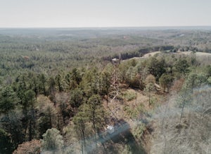
To my knowledge, this fire tower does not have a name. If you know the name of this fire tower, please leave it in the reviews below!
The firetower is located about 20 minutes north of Tuscaloosa. Heading north on AL-69, turn right onto Yellow Creek Road. Continue along Yellow Creek Road for .4 mile until you reach a dirt pull-off on your left. Do not block the gate! Walk past the gate and foll...
Hike around Lake Harris
Tuscaloosa, Alabama
5.0
1.76 mi
/ 169 ft gain
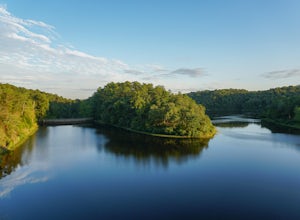
Lake Harris opens one hour prior to sunrise and closes one hour after sunset. No camping is allowed nor are motor vehicles allowed on this serene lake. From Lake Nicol Road, turn onto the dirt trail, Lake Harris Road. Follow Lake Harris Road for approximately three miles until you encounter the lake entrance. You can park in the first parking lot on the left located by the cliffs or continue do...
Hike the Flat Rock Trail (NC)
Linville, North Carolina
5.0
0.6 mi
Flat Rock Trail is located off the Blue Ridge Parkway at milepost 308. There is a pull-off from the Parkway with a sign designating the location. There are several picnic tables around the pull-off, but I would recommend taking your lunch up to Flat Rock.
The wide, clear trail is practically flat and easily traveled. Follow the yellow arrows to the overlook.
After a quarter-mile, you will encou...
Mountain Bike the Brush Creek Trail (Tanasi Trail System)
Turtletown, Tennessee
14 mi
/ 709 ft gain
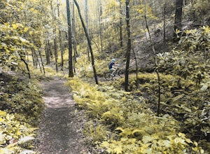
Brush Creek Trail belongs to the popular Tanasi Trail System in Ocoee, Tennessee. The Brush Creek Trail Trailhead is found at Boyd's Gap Overlook off US Highway 64 two miles South from the Ocoee Whitewater Center. From the parking circle, locate a gate towards the left side of the overlook. There is a sign that reads "Brush Creek Trail No. 341" behind that gate designating the start of the moun...
Camp at Unaka Mountain Overlook
Unicoi, Tennessee
4.0
0.1 mi
Unaka Mountain Overlook is one of the highest locations in the Cherokee National Forest. Easily accessibly by vehicle, the overlook towers over the surrounding mountains, including Beauty Spot Gap, and is an ideal spot to camp overnight.
Take Rock Creek Road until you meet the border of North Carolina and Tennessee (depending on which direction you are coming from). Take the gravel road on the ...
Historic Leamington Lighthouse
Hilton Head Island, South CarolinaThe Leamington Lighthouse, also known as the Hilton Head Rear-Range Lighthouse, was built in 1879 and is now a preserved landmark on Hilton Head Island. The lighthouse is a mere five minute walk from the side of Leamington Lane (located inside the Leamington gated community). From the pin, there is a walkway that leads under a few tall trees to the lighthouse. You can walk around the lighthouse...
Watch the Sunset from Sugarloaf Overlook
Benton, TennesseeThe overlook is easily accessible from a parking circle located off Oswald Road. Follow U.S. Highway from Ocoee, Tennessee for 8 miles then turn left onto Oswald Road. Follow Oswald Road for 2.5 miles until you encounter the overlook on your left. The overlook will be clearly marked with signage.
The overlook is located directly behind the parking circle. There are trees perfect for hanging a h...
Community
© 2024 The Outbound Collective - Terms of Use - Privacy Policy

