Big Pine, California
Looking for the best camping in Big Pine? We've got you covered with the top trails, trips, hiking, backpacking, camping and more around Big Pine. The detailed guides, photos, and reviews are all submitted by the Outbound community.
Top Camping Spots in and near Big Pine
-
Inyo County, California
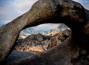
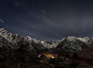
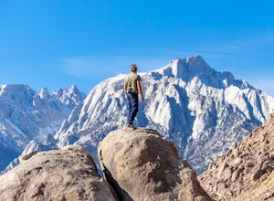
Camp in the Alabama Hills
4.8The Alabama Hills Recreation Area is a area owned by BLM and open to the public. Camping is free and you can say for a max of 14 days.The are has 100+ open desert sites that are shadowed by some of the tallest peaks in the Sierra Nevada range. And if that wasn't enough, the area was the backdrop ...Read more -
Inyo County, California
Camp at Lone Pine Campground
4.0The Lone Pine Campground is located 6 miles west of Lone Pine California, and 7 miles east of Mt Whitney Portal. The campsite is nestled next to Lone Pine Creek, which is the perfect place to fish for Sierra Nevada trout. The campground sits at 6,000 feet and in clear view of Mt. Whitney, the hig...Read more -
Inyo County, California
Scramble up Mt. Muir
5.018.5 mi / 6200 ft gainFrom the Whitney Trail - beyond trail crest - you will see a big cairn (right side). If you make it to the first "window of Mt. Whitney" you have gone too far. The cairn marks the start of an class 2 use trail up to the Mt. Muir headwall.The headwall is a fun climb with good handholds and has lit...Read more -
Inyo County, California
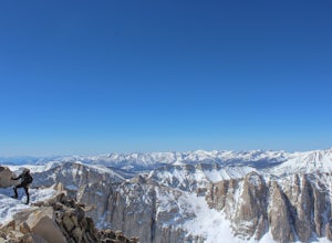
Winter Summit Mt. Whitney
22 mi / 6500 ft gainDay 1: We arrived at the Lone Pine Visitors Center at the intersection of HWY 395 and HWY 136 just south of Lone Pine, CA. We issued ourselves our overnight permits to climb Mt. Whitney and picked up our Wag Bags. You can self issue yourself the free permit Nov. 2 through Apr 30. Climbing during ...Read more -
Lone Pine, California
Rock Climb the Candy Store
The Candy Store is a group of boulders and small spires with around 30 climbing routes ranging from 5.6 to 5.11. The majority are trad routes with a significant portion toprope and a couple of sport. The major features/boulders are: First BoulderThe GumdropLollipop BoulderRock Candy TowerSecond B...Read more -
Tulare County, California
Backpack to Weaver Lake, CA
7 mi / 1075 ft gainThe hike to Weaver Lake begins at the Big Meadows trailhead in Sequoia National Forest (elevation: 7,633 ft.). There is roadside parking at the beginning of the trailhead and more parking available just inside the gate. At the trailhead, there is a vault toilet, trash receptacle, and map of the a...Read more -
Lone Pine, California
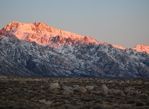
Camp at Tuttle Creek Campground
4.5Tuttle Creek Campground is a beautiful place to camp during any time of year. The campground offers uninterrupted breath taking views of the entire Eastern Sierra Nevada and Owens Valleys. Whether you are looking for a place to crash for the night while traveling down the 395, rock climbing in th...Read more -
Mono County, California
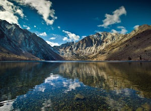
Fishing at Convict Lake
4.3Many people come to Convict lake for the fishing. Convict is located only 2 miles off the main highway in the Eastern Sierras. The lake is clear and pristine with beautiful views. There are various ways to fish here; some rent out boats or bring their own and cruise around the lake fishing. O...Read more -
Mono County, California
Summit Mount Baldwin (12,614')
15 mi / 5000 ft gainDirections The hike for Mount Baldwin starts at the Convict Lake trailhead. The turn off for Convict lake is about 4.5 miles south of the Mammoth Lakes exit along the 395 and roughly 35 miles North of Bishop, CA. Take this exit and follow the road West towards the mountains. Turn right at the ...Read more -
Mammoth Lakes, California
Convict Lake
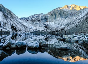
4.92.46 mi / 56 ft gainIn 1871, a group of inmates escaped from a prison and were ambushed near the lake by a posse who had tracked them down. The inmates escaped the shoot out after killing two of the men in the posse and the lake now had a name – Convict Lake. You won’t witness a wild west shootout here, but if you ...Read more -
Wild Willy's Hot Spring, United States
Wild Willy's Hot Spring
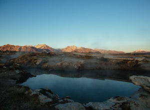
5.0Also known as "Crowley Hot Springs", Wild Willey's is located a short drive from Mammoth Lakes. For more information on the hot springs and the public land restoration, check out the BLM's Website. From Mammoth Lakes, head south on the 395 for 3.5 miles until you make a left at Benton Crossing Rd...Read more -
Hume, California
Hike and Fish Hume Lake
2.73.5 mi / 100 ft gainThis spot is less than four hours from the Bay Area and offers everything you would ever want to do in the outdoors. The interesting thing about Hume Lake is that it is actually a Middle School and High School camp in the Summer and Winter. That being said, it is not the place to go if you are lo...Read more -
Hume, California
Camp at Princess Campground
Situated just off the stretch of road that connects the two sections of Kings Canyon, Princess Campground is the perfect home base for exploring both Kings Canyon and Sequoia National Parks. In addition to its central location, it takes reservations, so you can book a roomy spot well in advance o...Read more -
Mammoth Lakes, California
Relax at Laurel Lakes
0 mi / 0 ft gainThe Laurel Lakes trip, just south of Mammoth Lakes, is a worthwhile day trip that can easily be made into a hiking/camping trip.To get there, make your way to Laurel Lakes Rd via Sherwin Creek Rd either from Old Mammoth Rd or from the 395. The road to the lakes is not too bad initially but you'll...Read more -
Mono County, California
Hot Creek Geological Site
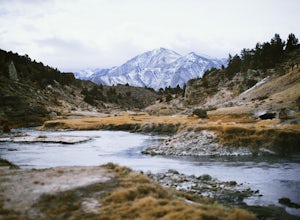
4.8Hot Creek Geological Site is a must see when you are in the Mammoth Lakes area. It is just West of Highway 395 and only minutes form the town of Mammoth Lakes, which has great food, a ski resort, world class mountain biking, and a brewery. Bishop is about 40 minutes South which is well known for ...Read more -
Sequoia National Park, California
Mount Silliman, Sequoia NP
5.011.24 mi / 4449 ft gainThere is available parking at the campgrounds at the Lodgepole Visitor Center. Lodgepole's elevation starts at 6720 ft. Twin Lakes Trailhead starts right at the base, which you will be following to get to Mount Silliman. Along Twin Lakes Trail are several campgrounds for your journey, you can go...Read more

